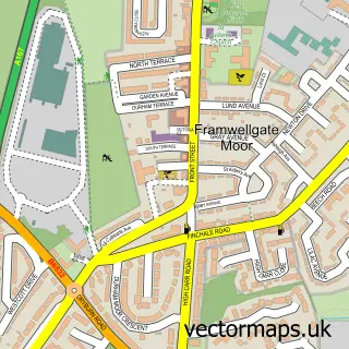
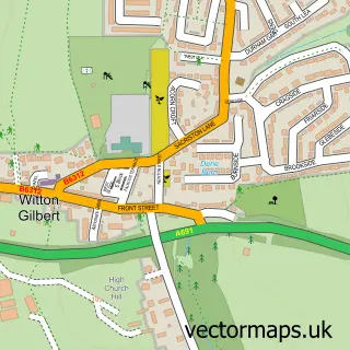
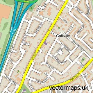
This Pity Me street map is a detailed vector street map covering a 750m x 750m area. Select a larger area to create and download your own vector street map of Pity Me.
The 750-metre map sample for Pity Me covers 233 mapped buildings and approximately 14.0 km of road detail, of which 16 named roads are named. The immediate area includes 3 GP surgeries within 2 miles, 1 pub and 2 MOT stations, with 5 within 2 miles. The wider area around Pity Me features 1 tourism point of interest, 1 food and drink venue and 4 hotels. To create a larger or custom map of Pity Me, the map builder lets you define your own coverage area and download editable SVG, PDF and PNG files.
Create a larger editable map of Pity Me
Choose any area you need and generate a high-quality vector map instantly. Perfect for print, planning, design, business and personal use.

This Pity Me street map in Durham is available as downloadable SVG, PDF and PNG map files, or as a printed map for planning, business, display, education, local information and design work. You can also create a larger custom map area using the map selector.
What this Pity Me map sample shows
Pity Me lies within Framwellgate Moor Cp parish, part of Framwellgate And Newton Hall ward in the County Durham local authority area. The postcode geography for this area includes the DH postcode area, the DH1 postcode district and the DH1 5 postcode sector. Residents fall under the Nhs North East And North Cumbria Integrated Care Board for NHS services.
Local features near Pity Me
Within 2 milesAmenities and services in and around Pity Me.
Administrative and postcode information for Pity Me
The local authority covering Pity Me is County Durham, within the county of Durham. The settlement lies within Framwellgate And Newton Hall ward and Framwellgate Moor Cp civil parish. The DH1 postcode district and DH1 5 postcode sector serve the immediate area. NHS provision in the area is delivered through County Durham And Darlington Nhs Foundation Trust.
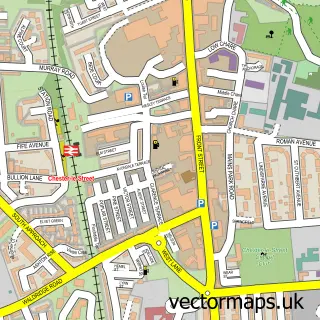
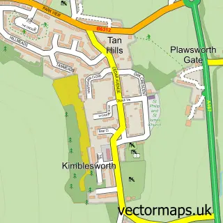
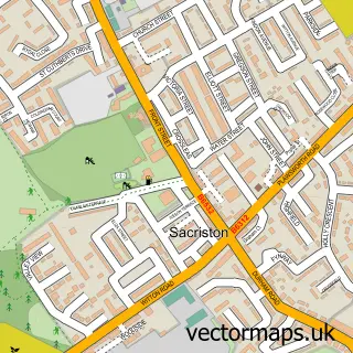
Nearby street map samples around Pity Me

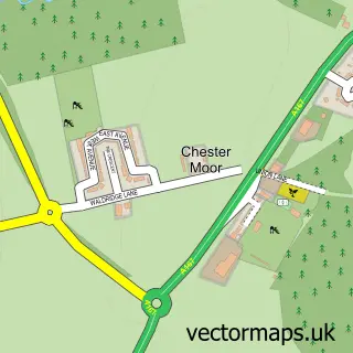
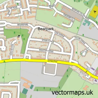
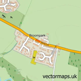
More street maps in Durham
750 metre map area coverage
Boundary, postcode and point of interest information for the 750m x 750m rectangle centred on this sample map.
Boundaries containing map centre
Constituency: City of Durham Co Const
District: County Durham
Icb: NHS North East and North Cumbria ICB
Parish: Framwellgate Moor CP
Police Force: durham
Postcode District: DH1
Postcode Sector: DH1 5
Nearby boundaries intersecting sample
Parish: Witton Gilbert CP
Postcode coverage
POI category counts
Hotel: 4
Automotive Repair: 3
It Service And Computer Repair: 3
Professional Services: 3
Travel Services: 3
Childrens Clothing Store: 2
Department Store: 2
Discount Store: 2
Divorce And Family Law: 2
Electrician: 2
Sample points of interest
- Merlin Coachworks Ltd.
- Vauxhall Bristol Street Motors Durham
- Merlin Coachworks
- Motability Scheme at Bristol Street Motors Vauxhall Durham
- Springfield Honda
- Timpson
- Lloyds Bank
- Nationwide Autocentres
- Walker Hall Associates
- Bristol Street Motors
- Mountain Warehouse
- Mountain Warehouse Durham Retail Park
Create a larger editable map of Pity Me
This sample shows only a 750 metre area. To create a larger map of Pity Me, use our map builder to choose your own coverage area, add titles and download editable SVG, PDF and PNG files.
Create a custom map of Pity Me