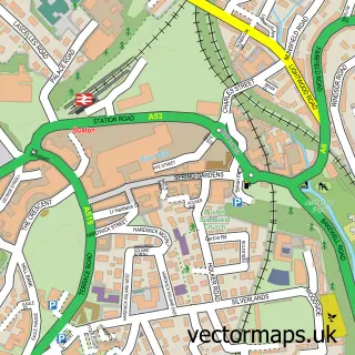
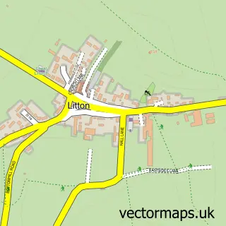
This Miller's Dale street map is a detailed vector street map covering a 750m x 750m area. Select a larger area to create and download your own vector street map of Miller's Dale.
The 750-metre map sample for Miller's Dale covers 29 mapped buildings and approximately 18.4 km of road detail, of which 1 named road are named. The immediate area includes 2 pubs and 2 MOT stations within 2 miles. The wider area around Miller's Dale features 1 tourism point of interest, 3 food and drink venues and 1 hotel. To create a larger or custom map of Miller's Dale, the map builder lets you define your own coverage area and download editable SVG, PDF and PNG files.
Create a larger editable map of Miller's Dale
Choose any area you need and generate a high-quality vector map instantly. Perfect for print, planning, design, business and personal use.

This Miller's Dale street map in Derbyshire is available as downloadable SVG, PDF and PNG map files, or as a printed map for planning, business, display, education, local information and design work. You can also create a larger custom map area using the map selector.
What this Miller's Dale map sample shows
Miller's Dale lies within Wormhill Cp parish, part of Limestone Peak ward in the High Peak District (B) local authority area. The postcode geography for this area includes the SK postcode area, the SK17 postcode district and the SK17 8 postcode sector. Residents fall under the Nhs Derby And Derbyshire Integrated Care Board for NHS services.
Local features near Miller's Dale
Within 2 milesAmenities and services in and around Miller's Dale.
Administrative and postcode information for Miller's Dale
Miller's Dale lies within Wormhill Cp parish, part of Limestone Peak ward in the High Peak District (B) local authority area. The postcode geography for this area includes the SK postcode area, the SK17 postcode district and the SK17 8 postcode sector. Residents fall under the Nhs Derby And Derbyshire Integrated Care Board for NHS services.
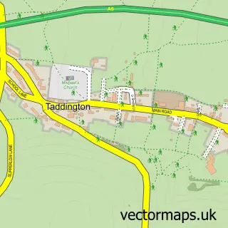
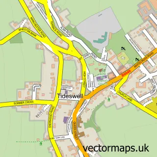
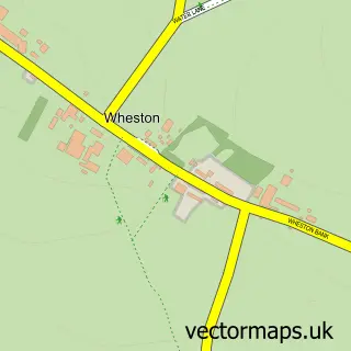
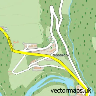
Nearby street map samples around Miller's Dale

More street maps in Derbyshire
750 metre map area coverage
Boundary, postcode and point of interest information for the 750m x 750m rectangle centred on this sample map.
Boundaries containing map centre
Constituency: High Peak Co Const
County: Derbyshire County
District: High Peak District (B)
Icb: NHS Derby and Derbyshire ICB
Parish: Wormhill CP
Police Force: derbyshire
Postcode District: SK17
Postcode Sector: SK17 8
Ward: Limestone Peak Ward
Nearby boundaries intersecting sample
Constituency: Derbyshire Dales Co Const
District: Derbyshire Dales District
Parish: Taddington CP, Tideswell CP
Postcode Sector: SK17 9
Ward: Hartington & Taddington Ward, Tideswell Ward
Postcode coverage
POI category counts
Chiropractor: 2
Pub: 2
Active Life: 1
Anglican Church: 1
Bike Rentals: 1
Cafe: 1
Ev Charging Station: 1
Holiday Rental Home: 1
Hotel: 1
Landmark And Historical Building: 1
Sample points of interest
- Monsal Cycle Trail
- St Anne
- Miller’s Dale Bike Hire - Monsal Trail
- The Refreshment Room
- Back-on-Balance Chiropractic Clinic
- Back-on-Balance Chiropractic Clinic
- Miller's Dale Car Park
- The Wriggly Tin, Peak District
- VWP Wilkson
- Miller's Dale Viaduct
- Anglers Rest
- The Angler's Rest
Create a larger editable map of Miller's Dale
This sample shows only a 750 metre area. To create a larger map of Miller's Dale, use our map builder to choose your own coverage area, add titles and download editable SVG, PDF and PNG files.
Create a custom map of Miller's Dale