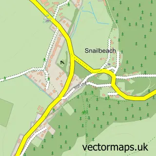
This Minsterley street map is a detailed vector street map covering a 750m x 750m area. Select a larger area to create and download your own vector street map of Minsterley.
The 750-metre map sample for Minsterley covers 385 mapped buildings and approximately 16.0 km of road detail, of which 22 named roads are named. The immediate area includes 1 GP surgery within 2 miles, 2 pubs and 2 MOT stations within 2 miles. The wider area around Minsterley features 2 tourism points of interest, 3 food and drink venues and 1 hotel. To create a larger or custom map of Minsterley, the map builder lets you define your own coverage area and download editable SVG, PDF and PNG files.
Create a larger editable map of Minsterley
Choose any area you need and generate a high-quality vector map instantly. Perfect for print, planning, design, business and personal use.

This Minsterley street map in Shropshire is available as downloadable SVG, PDF and PNG map files, or as a printed map for planning, business, display, education, local information and design work. You can also create a larger custom map area using the map selector.
What this Minsterley map sample shows
Minsterley lies within Minsterley Cp parish, part of Rea Valley ward in the Shropshire local authority area. The postcode geography for this area includes the SY postcode area, the SY5 postcode district and the SY5 0 postcode sector. Residents fall under the Nhs Shropshire, Telford And Wrekin Integrated Care Board for NHS services.
Local features near Minsterley
Within 2 milesAmenities and services in and around Minsterley.
Administrative and postcode information for Minsterley
Minsterley lies within Minsterley Cp parish, part of Rea Valley ward in the Shropshire local authority area. The postcode geography for this area includes the SY postcode area, the SY5 postcode district and the SY5 0 postcode sector. Residents fall under the Nhs Shropshire, Telford And Wrekin Integrated Care Board for NHS services.
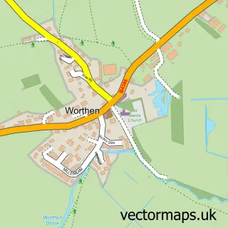
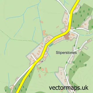
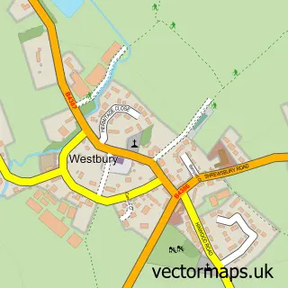
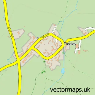
Nearby street map samples around Minsterley


More street maps in Shropshire
750 metre map area coverage
Boundary, postcode and point of interest information for the 750m x 750m rectangle centred on this sample map.
Boundaries containing map centre
Constituency: Shrewsbury Co Const
District: Shropshire
Icb: NHS Shropshire Telford and Wrekin ICB
Parish: Minsterley CP
Police Force: west mercia
Postcode District: SY5
Postcode Sector: SY5 0
Nearby boundaries intersecting sample
No additional intersecting boundaries found.
Postcode coverage
POI category counts
Shipping Center: 3
Gas Station: 2
Landmark And Historical Building: 2
Pub: 2
Religious Organization: 2
Anglican Church: 1
Appliance Store: 1
Assisted Living Facility: 1
Atms: 1
Butcher Shop: 1
Sample points of interest
- Holy Trinity, Minsterley
- Shropshire Pressure Washers 2012 Ltd.
- Severnside Housing
- Minsterley Service Station, Minsterley
- Smith of Minsterley and Sons
- Morrisons Daily - Minsterley
- Candy Obsession
- Minsterley Nursery
- Holy Trinity Church
- Müller Minsterley
- Be U Counselling Psychotherapy and Supervision
- Muller
Create a larger editable map of Minsterley
This sample shows only a 750 metre area. To create a larger map of Minsterley, use our map builder to choose your own coverage area, add titles and download editable SVG, PDF and PNG files.
Create a custom map of Minsterley