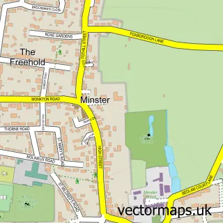
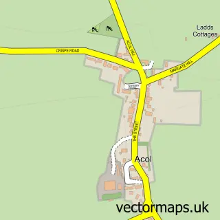
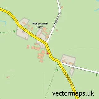
This Monkton street map is a detailed vector street map covering a 750m x 750m area. Select a larger area to create and download your own vector street map of Monkton.
The 750-metre map sample for Monkton covers 147 mapped buildings and approximately 8.8 km of road detail, of which 7 named roads are named. The immediate area includes 1 school, 1 GP surgery within 2 miles, 1 pub and 3 MOT stations within 2 miles. The wider area around Monkton features 1 tourism point of interest, 2 food and drink venues and 1 hotel. To create a larger or custom map of Monkton, the map builder lets you define your own coverage area and download editable SVG, PDF and PNG files.
Create a larger editable map of Monkton
Choose any area you need and generate a high-quality vector map instantly. Perfect for print, planning, design, business and personal use.

This Monkton street map in Kent is available as downloadable SVG, PDF and PNG map files, or as a printed map for planning, business, display, education, local information and design work. You can also create a larger custom map area using the map selector.
What this Monkton map sample shows
Monkton lies within Monkton Cp parish, part of Thanet Villages ward in the Thanet District local authority area. The postcode geography for this area includes the CT postcode area, the CT12 postcode district and the CT12 4 postcode sector. Residents fall under the Nhs Kent And Medway Integrated Care Board for NHS services.
Local features near Monkton
Within 2 milesAmenities and services in and around Monkton.
Administrative and postcode information for Monkton
The local authority covering Monkton is Thanet District, within the county of Kent. The settlement lies within Thanet Villages ward and Monkton Cp civil parish. The CT12 postcode district and CT12 4 postcode sector serve the immediate area. NHS provision in the area is delivered through East Kent Hospitals University Nhs Foundation Trust.
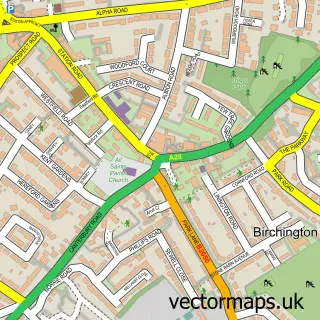
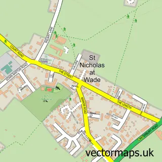
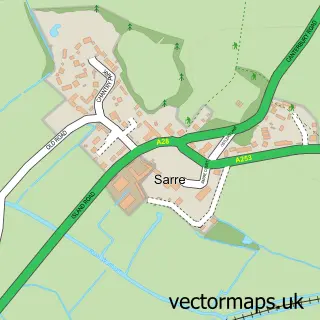
Nearby street map samples around Monkton

More street maps in Kent
750 metre map area coverage
Boundary, postcode and point of interest information for the 750m x 750m rectangle centred on this sample map.
Boundaries containing map centre
Constituency: Herne Bay and Sandwich Co Const
County: Kent County
District: Thanet District
Icb: NHS Kent and Medway ICB
Parish: Monkton CP
Police Force: kent
Postcode District: CT12
Postcode Sector: CT12 4
Ward: Thanet Villages Ward
Nearby boundaries intersecting sample
No additional intersecting boundaries found.
Postcode coverage
POI category counts
Active Life: 2
Appliance Store: 1
British Restaurant: 1
Church Cathedral: 1
Dance School: 1
Elementary School: 1
Gift Shop: 1
Home Service: 1
Landscaping: 1
Lawn Mower Repair Service: 1
Sample points of interest
- Monkton football club u13 w
- Preston & Elmstone CC
- South Eastern Domestic Appliance Services
- Le Club
- Monkton Methodist Church
- LA-Dance Academy
- Monkton Church of England Primary School
- Globes4you
- Monkton Under Fives
- Willow Landscapes
- Dial 'A' Knight Lawnmower Repairs
- The White Stag Lodge
Create a larger editable map of Monkton
This sample shows only a 750 metre area. To create a larger map of Monkton, use our map builder to choose your own coverage area, add titles and download editable SVG, PDF and PNG files.
Create a custom map of Monkton