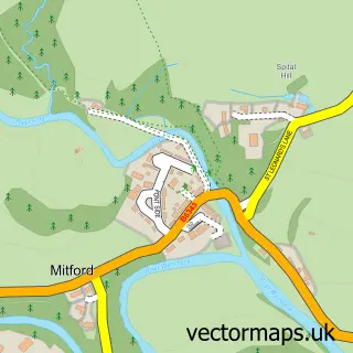
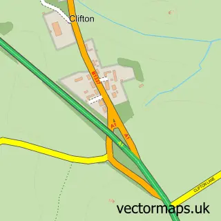
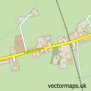
This Morpeth street map is a detailed vector street map covering a 750m x 750m area. Select a larger area to create and download your own vector street map of Morpeth.
The 750-metre map sample for Morpeth covers 254 mapped buildings and approximately 19.9 km of road detail, of which 53 named roads are named. The immediate area includes 1 school, 1 GP surgery, with 3 within 2 miles, 13 pubs and 1 MOT station, with 5 within 2 miles. The wider area around Morpeth features 15 tourism points of interest, 40 food and drink venues and 11 hotels. To create a larger or custom map of Morpeth, the map builder lets you define your own coverage area and download editable SVG, PDF and PNG files.
Create a larger editable map of Morpeth
Choose any area you need and generate a high-quality vector map instantly. Perfect for print, planning, design, business and personal use.

This Morpeth street map in Northumberland is available as downloadable SVG, PDF and PNG map files, or as a printed map for planning, business, display, education, local information and design work. You can also create a larger custom map area using the map selector.
What this Morpeth map sample shows
Morpeth lies within Morpeth Cp parish, part of Morpeth Kirkhill ward in the Northumberland local authority area. The postcode geography for this area includes the NE postcode area, the NE61 postcode district and the NE61 2 postcode sector. Residents fall under the Nhs North East And North Cumbria Integrated Care Board for NHS services.
Local features near Morpeth
Within 2 milesAmenities and services in and around Morpeth.
Administrative and postcode information for Morpeth
Morpeth lies within Morpeth Cp parish, part of Morpeth Kirkhill ward in the Northumberland local authority area. The postcode geography for this area includes the NE postcode area, the NE61 postcode district and the NE61 2 postcode sector. Residents fall under the Nhs North East And North Cumbria Integrated Care Board for NHS services.
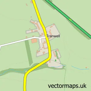
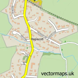
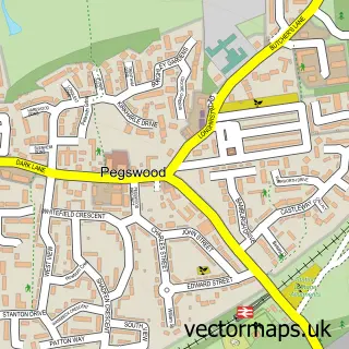
Nearby street map samples around Morpeth

More street maps in Northumberland
750 metre map area coverage
Boundary, postcode and point of interest information for the 750m x 750m rectangle centred on this sample map.
Boundaries containing map centre
Constituency: North Northumberland Co Const
District: Northumberland
Icb: NHS North East and North Cumbria ICB
Parish: Morpeth CP
Police Force: northumberland
Postcode District: NE61
Postcode Sector: NE61 1
Nearby boundaries intersecting sample
Postcode Sector: NE61 2
Postcode coverage
POI category counts
Beauty Salon: 22
Hair Salon: 17
Pub: 13
Clothing Store: 12
Cafe: 11
Hotel: 10
Professional Services: 10
Italian Restaurant: 9
Pet Store: 9
Real Estate Agent: 9
Sample points of interest
- Azets
- Wellway Accountants Limited
- Kimberly Clark Acupuncture
- On Point Acupuncture Emma Gibson BSc
- Beach Design Ltd
- West Barn Pygmy Goats
- Rose Cottage Clinic
- The Complementary Therapy Clinic
- The Therapy Centre
- Highleys equestrian centre
- Brigburn Kennels
- David Tomlin Antiques
Create a larger editable map of Morpeth
This sample shows only a 750 metre area. To create a larger map of Morpeth, use our map builder to choose your own coverage area, add titles and download editable SVG, PDF and PNG files.
Create a custom map of Morpeth