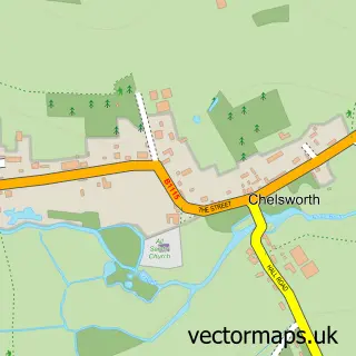
This Nedging Tye street map is a detailed vector street map covering a 750m x 750m area. Select a larger area to create and download your own vector street map of Nedging Tye.
The 750-metre map sample for Nedging Tye covers 153 mapped buildings and approximately 11.2 km of road detail, of which 5 named roads are named. The immediate area includes 1 GP surgery within 2 miles and 1 MOT station, with 2 within 2 miles. The wider area around Nedging Tye features 1 tourism point of interest. To create a larger or custom map of Nedging Tye, the map builder lets you define your own coverage area and download editable SVG, PDF and PNG files.
Create a larger editable map of Nedging Tye
Choose any area you need and generate a high-quality vector map instantly. Perfect for print, planning, design, business and personal use.

This Nedging Tye street map in Suffolk is available as downloadable SVG, PDF and PNG map files, or as a printed map for planning, business, display, education, local information and design work. You can also create a larger custom map area using the map selector.
What this Nedging Tye map sample shows
Nedging Tye lies within Nedging-With-Naughton Cp parish, part of South East Cosford ward in the Babergh District local authority area. The postcode geography for this area includes the IP postcode area, the IP7 postcode district and the IP7 7 postcode sector. Residents fall under the Nhs Suffolk And North East Essex Integrated Care Board for NHS services.
Local features near Nedging Tye
Within 2 milesAmenities and services in and around Nedging Tye.
Administrative and postcode information for Nedging Tye
The local authority covering Nedging Tye is Babergh District, within the county of Suffolk. The settlement lies within South East Cosford ward and Nedging-With-Naughton Cp civil parish. The IP7 postcode district and IP7 7 postcode sector serve the immediate area. NHS provision in the area is delivered through East Suffolk And North Essex Nhs Foundation Trust.
Nearby street map samples around Nedging Tye
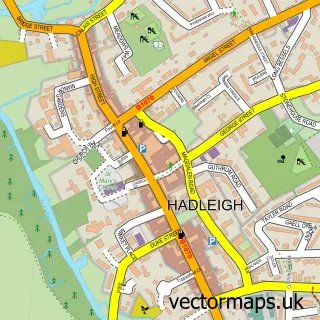

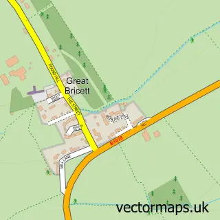
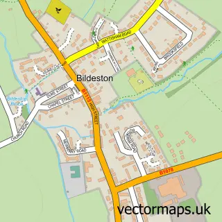
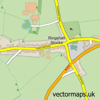
More street maps in Suffolk
750 metre map area coverage
Boundary, postcode and point of interest information for the 750m x 750m rectangle centred on this sample map.
Boundaries containing map centre
Constituency: South Suffolk Co Const
County: Suffolk County
District: Babergh District
Icb: NHS Essex ICB
Parish: Nedging-with-Naughton CP
Police Force: suffolk
Postcode District: IP7
Postcode Sector: IP7 7
Ward: South East Cosford Ward
Nearby boundaries intersecting sample
Constituency: Central Suffolk and North Ipswich Co Const
District: Mid Suffolk District
Parish: Great Bricett CP, Offton CP
Ward: Battisford & Ringshall Ward
Postcode coverage
POI category counts
Art Gallery: 1
Automotive: 1
Automotive Parts And Accessories: 1
Automotive Repair: 1
Cleaning Services: 1
Community Center: 1
Employment Agencies: 1
Gas Station: 1
Landmark And Historical Building: 1
Professional Services: 1
Sample points of interest
- Art in Suffolk
- Nedging Auto Centre
- Kuda Automotive
- Nedging Autocentre
- RJS Silo Clean International
- Nedging with Naughton Village Hub
- Hartshorne Associates
- Pace
- Nedging Tye
- Emmitt Plant Ltd
- Roast Gifts & Awards
Create a larger editable map of Nedging Tye
This sample shows only a 750 metre area. To create a larger map of Nedging Tye, use our map builder to choose your own coverage area, add titles and download editable SVG, PDF and PNG files.
Create a custom map of Nedging Tye