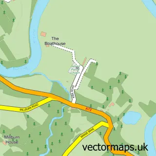
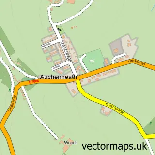
This Netherburn street map is a detailed vector street map covering a 750m x 750m area. Select a larger area to create and download your own vector street map of Netherburn.
The 750-metre map sample for Netherburn covers 167 mapped buildings and approximately 7.9 km of road detail, of which 14 named roads are named. The immediate area includes 1 MOT station within 2 miles. To create a larger or custom map of Netherburn, the map builder lets you define your own coverage area and download editable SVG, PDF and PNG files.
Create a larger editable map of Netherburn
Choose any area you need and generate a high-quality vector map instantly. Perfect for print, planning, design, business and personal use.

This Netherburn street map in Lanarkshire is available as downloadable SVG, PDF and PNG map files, or as a printed map for planning, business, display, education, local information and design work. You can also create a larger custom map area using the map selector.
What this Netherburn map sample shows
Netherburn lies within South Lanarkshire parish, part of Larkhall ward in the South Lanarkshire local authority area. The postcode geography for this area includes the ML postcode area, the ML9 postcode district and the ML9 3 postcode sector. Residents fall under the Lanarkshire for NHS services.
Local features near Netherburn
Within 2 milesAmenities and services in and around Netherburn.
Administrative and postcode information for Netherburn
The local authority covering Netherburn is South Lanarkshire, within the county of Lanarkshire. The settlement lies within Larkhall ward and South Lanarkshire civil parish. The ML9 postcode district and ML9 3 postcode sector serve the immediate area. NHS provision in the area is delivered through Lanarkshire.
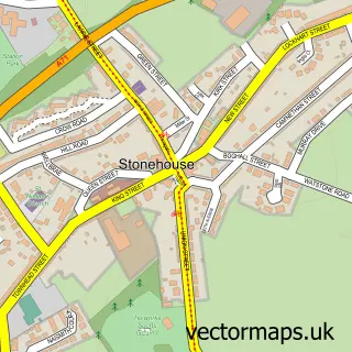
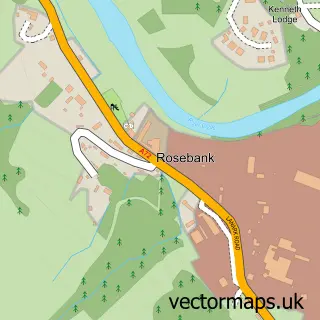
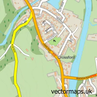
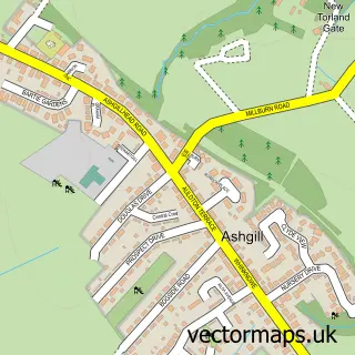
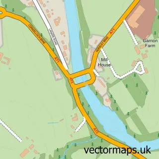
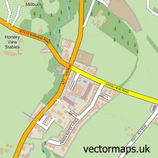
Nearby street map samples around Netherburn

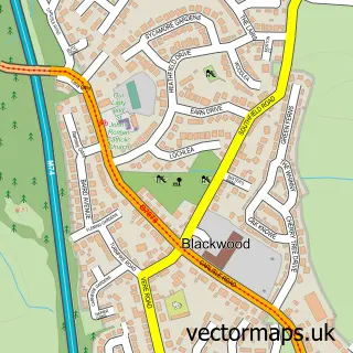
More street maps in Lanarkshire
750 metre map area coverage
Boundary, postcode and point of interest information for the 750m x 750m rectangle centred on this sample map.
Boundaries containing map centre
Constituency: Hamilton and Clyde Valley Co Const
District: South Lanarkshire
Icb: Lanarkshire
Postcode District: ML9
Postcode Sector: ML9 3
Ward: Larkhall Ward
Nearby boundaries intersecting sample
Postcode District: ML8
Postcode Sector: ML8 5
Ward: Clydesdale West Ward
Postcode coverage
POI category counts
Building Supply Store: 1
Driving School: 1
Flowers And Gifts Shop: 1
Home Service: 1
Horse Boarding: 1
Pet Groomer: 1
Professional Services: 1
School: 1
Tire Dealer And Repair: 1
Sample points of interest
- Hepburn Landscaping
- Graham Hutchens Driving Instructor
- Allisons Flowers
- Flat Out Cleaning & Ironing Services
- Southburn Livery
- Dapper Dogs Dog Grooming
- Lanarkshire Domestics
- Netherburn Primary School
- The Tyre Man
Create a larger editable map of Netherburn
This sample shows only a 750 metre area. To create a larger map of Netherburn, use our map builder to choose your own coverage area, add titles and download editable SVG, PDF and PNG files.
Create a custom map of Netherburn