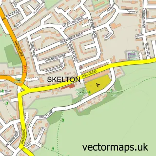
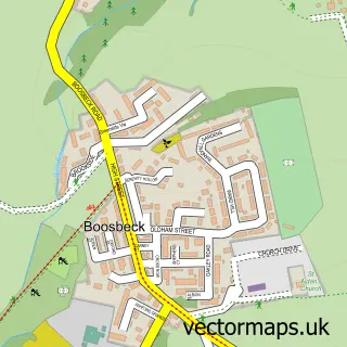
This New Skelton street map is a detailed vector street map covering a 750m x 750m area. Select a larger area to create and download your own vector street map of New Skelton.
The 750-metre map sample for New Skelton covers 210 mapped buildings and approximately 14.2 km of road detail, of which 16 named roads are named. The immediate area includes 3 GP surgeries within 2 miles and 1 MOT station, with 5 within 2 miles. The wider area around New Skelton features 1 food and drink venue. To create a larger or custom map of New Skelton, the map builder lets you define your own coverage area and download editable SVG, PDF and PNG files.
Create a larger editable map of New Skelton
Choose any area you need and generate a high-quality vector map instantly. Perfect for print, planning, design, business and personal use.

This New Skelton street map in North Yorkshire is available as downloadable SVG, PDF and PNG map files, or as a printed map for planning, business, display, education, local information and design work. You can also create a larger custom map area using the map selector.
What this New Skelton map sample shows
New Skelton lies within Skelton And Brotton Cp parish, part of Skelton East ward in the Redcar And Cleveland (B) local authority area. The postcode geography for this area includes the TS postcode area, the TS12 postcode district and the TS12 2 postcode sector. Residents fall under the Nhs North East And North Cumbria Integrated Care Board for NHS services.
Local features near New Skelton
Within 2 milesAmenities and services in and around New Skelton.
Administrative and postcode information for New Skelton
The local authority covering New Skelton is Redcar And Cleveland (B), within the county of North Yorkshire. The settlement lies within Skelton East ward and Skelton And Brotton Cp civil parish. The TS12 postcode district and TS12 2 postcode sector serve the immediate area. NHS provision in the area is delivered through South Tees Hospitals Nhs Foundation Trust.
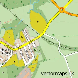
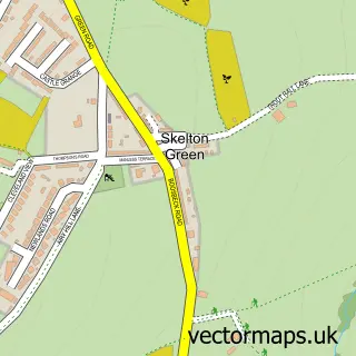
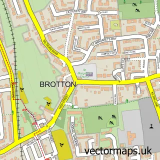
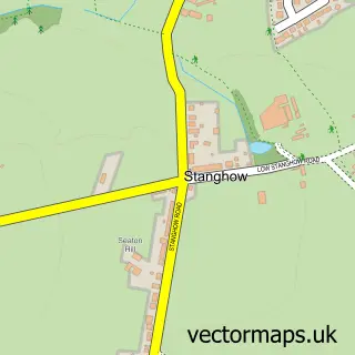
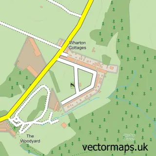
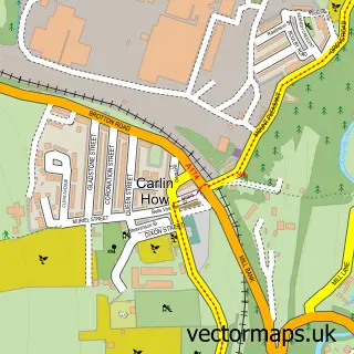
Nearby street map samples around New Skelton


More street maps in North Yorkshire
750 metre map area coverage
Boundary, postcode and point of interest information for the 750m x 750m rectangle centred on this sample map.
Boundaries containing map centre
Constituency: Middlesbrough South and East Cleveland Co Const
District: Redcar and Cleveland (B)
Icb: NHS North East and North Cumbria ICB
Parish: Skelton and Brotton CP
Police Force: cleveland
Postcode District: TS12
Postcode Sector: TS12 2
Ward: Skelton East Ward
Nearby boundaries intersecting sample
No additional intersecting boundaries found.
Postcode coverage
POI category counts
Building Supply Store: 4
Gym: 3
Beauty Salon: 2
Roofing: 2
Active Life: 1
Auto Upholstery: 1
Automotive: 1
Automotive Parts And Accessories: 1
Automotive Repair: 1
Building Contractor: 1
Sample points of interest
- Bodyzone Ultimate Fitness Skelton
- Alan Henderson Upholstery Services
- Cleedale Garage
- VW Direct
- Complete Auto Recycling LTD
- R & R - Rest and Relax Pamper Rooms
- The Parlour
- Skelton Double Glazing
- Cleveland Carriers & Removals
- Integral Collections
- T R Gardening Services Ltd
- Upvc Suppliers
Create a larger editable map of New Skelton
This sample shows only a 750 metre area. To create a larger map of New Skelton, use our map builder to choose your own coverage area, add titles and download editable SVG, PDF and PNG files.
Create a custom map of New Skelton