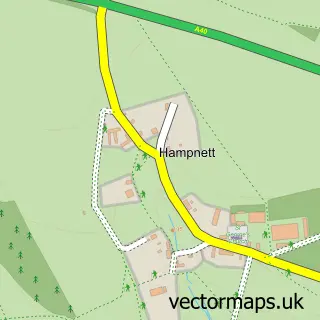
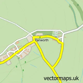
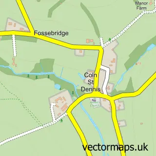
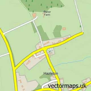
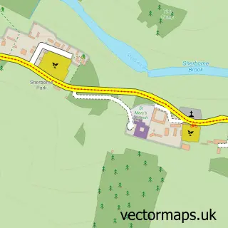
This Northleach street map is a detailed vector street map covering a 750m x 750m area. Select a larger area to create and download your own vector street map of Northleach.
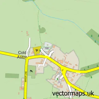
The 750-metre map sample for Northleach covers 339 mapped buildings and approximately 27.5 km of road detail, of which 36 named roads are named. The immediate area includes 1 school, 3 pubs and 1 MOT station within 2 miles. The wider area around Northleach features 4 food and drink venues and 3 hotels. To create a larger or custom map of Northleach, the map builder lets you define your own coverage area and download editable SVG, PDF and PNG files.
Create a larger editable map of Northleach
Choose any area you need and generate a high-quality vector map instantly. Perfect for print, planning, design, business and personal use.

This Northleach street map in Gloucestershire is available as downloadable SVG, PDF and PNG map files, or as a printed map for planning, business, display, education, local information and design work. You can also create a larger custom map area using the map selector.
What this Northleach map sample shows
Northleach lies within Northleach With Eastington Cp parish, part of Northleach ward in the Cotswold District local authority area. The postcode geography for this area includes the GL postcode area, the GL54 postcode district and the GL54 3 postcode sector. Residents fall under the Nhs Gloucestershire Integrated Care Board for NHS services.
Local features near Northleach
Within 2 milesAmenities and services in and around Northleach.
Administrative and postcode information for Northleach
Northleach lies within Northleach With Eastington Cp parish, part of Northleach ward in the Cotswold District local authority area. The postcode geography for this area includes the GL postcode area, the GL54 postcode district and the GL54 3 postcode sector. Residents fall under the Nhs Gloucestershire Integrated Care Board for NHS services.
Nearby street map samples around Northleach

More street maps in Gloucestershire
750 metre map area coverage
Boundary, postcode and point of interest information for the 750m x 750m rectangle centred on this sample map.
Boundaries containing map centre
Constituency: North Cotswolds Co Const
County: Gloucestershire County
District: Cotswold District
Icb: NHS Gloucestershire ICB
Parish: Northleach with Eastington CP
Police Force: gloucestershire
Postcode District: GL54
Postcode Sector: GL54 3
Ward: Northleach Ward
Nearby boundaries intersecting sample
No additional intersecting boundaries found.
Postcode coverage
POI category counts
Church Cathedral: 4
Hotel: 3
Pub: 3
Building Supply Store: 2
Butcher Shop: 2
Contractor: 2
Electronics Repair Shop: 2
Advertising Agency: 1
Anglican Church: 1
Art Gallery: 1
Sample points of interest
- Elephant Creative
- The Church of St Peter & St Paul Northleach
- Gallery 9 Northleach
- Cotswold Store (Attack) (Protected), North Leach
- Universal Philatelic Auctions
- Northleach Pavilion
- Serenity Hair and Beauty
- Farmington Natural Stone
- Molo Holiday House Keepers
- Blumango Creative Ltd.
- W J Castle
- WJ Castle Butchers Northleach
Create a larger editable map of Northleach
This sample shows only a 750 metre area. To create a larger map of Northleach, use our map builder to choose your own coverage area, add titles and download editable SVG, PDF and PNG files.
Create a custom map of Northleach