This Northwood street map is a detailed vector street map covering a 750m x 750m area. Select a larger area to create and download your own vector street map of Northwood.
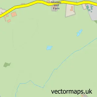
The 750-metre map sample for Northwood covers 75 mapped buildings and approximately 8.3 km of road detail, of which 1 named road are named. The wider area around Northwood features 1 food and drink venue and 1 campsite within 2 miles. To create a larger or custom map of Northwood, the map builder lets you define your own coverage area and download editable SVG, PDF and PNG files.
Create a larger editable map of Northwood
Choose any area you need and generate a high-quality vector map instantly. Perfect for print, planning, design, business and personal use.

This Northwood street map in Shropshire is available as downloadable SVG, PDF and PNG map files, or as a printed map for planning, business, display, education, local information and design work. You can also create a larger custom map area using the map selector.
What this Northwood map sample shows
Northwood lies within Wem Rural Cp parish, part of Wem ward in the Shropshire local authority area. The postcode geography for this area includes the SY postcode area, the SY4 postcode district and the SY4 5 postcode sector. Residents fall under the Nhs Shropshire, Telford And Wrekin Integrated Care Board for NHS services.
Local features near Northwood
Within 2 milesAmenities and services in and around Northwood.
Administrative and postcode information for Northwood
Northwood lies within Wem Rural Cp parish, part of Wem ward in the Shropshire local authority area. The postcode geography for this area includes the SY postcode area, the SY4 postcode district and the SY4 5 postcode sector. Residents fall under the Nhs Shropshire, Telford And Wrekin Integrated Care Board for NHS services.
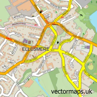
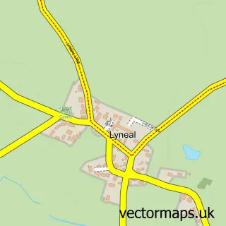
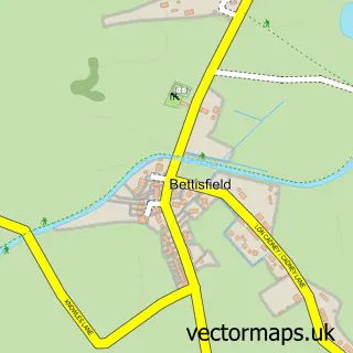
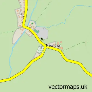
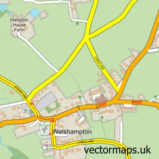
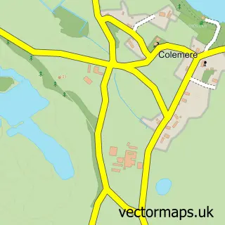
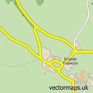
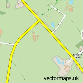
Nearby street map samples around Northwood

More street maps in Shropshire
750 metre map area coverage
Boundary, postcode and point of interest information for the 750m x 750m rectangle centred on this sample map.
Boundaries containing map centre
Constituency: North Shropshire Co Const
District: Shropshire
Icb: NHS Shropshire Telford and Wrekin ICB
Parish: Wem Rural CP
Police Force: west mercia
Postcode District: SY4
Postcode Sector: SY4 5
Nearby boundaries intersecting sample
Constituency: Wrexham Co Const
District: Wrecsam - Wrexham
Icb: Betsi Cadwaladr University
Parish: Maelor South Community, Welshampton and Lyneal CP
Police Force: north wales
Postcode District: SY12
Postcode Sector: SY12 0
Postcode coverage
POI category counts
Advertising Agency: 2
Business Management Services: 1
Nursery And Gardening: 1
Pet Services: 1
Plumbing: 1
Restaurant: 1
Sample points of interest
- Irun Shrewsbury
- Paul Evans Associates UK
- Paul Evans Associates
- Northwood Nurseries
- The Animal Au Pair
- Dave Madden Plumbing
- The Horse & Jockey at Northwood
Create a larger editable map of Northwood
This sample shows only a 750 metre area. To create a larger map of Northwood, use our map builder to choose your own coverage area, add titles and download editable SVG, PDF and PNG files.
Create a custom map of Northwood