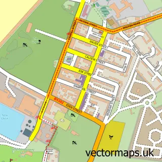
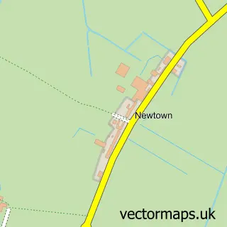
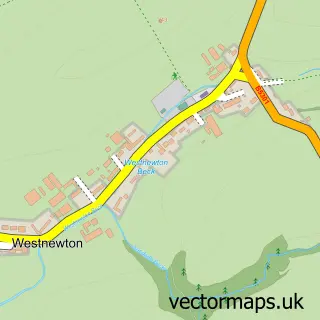
This Old Mawbray street map is a detailed vector street map covering a 750m x 750m area. Select a larger area to create and download your own vector street map of Old Mawbray.
The 750-metre map sample for Old Mawbray covers 85 mapped buildings and approximately 14.2 km of road detail. The immediate area includes 2 pubs. The wider area around Old Mawbray features 1 tourism point of interest and 2 food and drink venues. To create a larger or custom map of Old Mawbray, the map builder lets you define your own coverage area and download editable SVG, PDF and PNG files.
Create a larger editable map of Old Mawbray
Choose any area you need and generate a high-quality vector map instantly. Perfect for print, planning, design, business and personal use.

This Old Mawbray street map in Cumbria is available as downloadable SVG, PDF and PNG map files, or as a printed map for planning, business, display, education, local information and design work. You can also create a larger custom map area using the map selector.
What this Old Mawbray map sample shows
Old Mawbray lies within Holme St. Cuthbert Cp parish, part of Silloth & Solway Coast ward in the Cumberland local authority area. The postcode geography for this area includes the CA postcode area, the CA15 postcode district and the CA15 6 postcode sector. Residents fall under the Nhs North East And North Cumbria Integrated Care Board for NHS services.
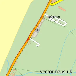
Local features near Old Mawbray
Within 2 milesAmenities and services in and around Old Mawbray.
Administrative and postcode information for Old Mawbray
Old Mawbray lies within Holme St. Cuthbert Cp parish, part of Silloth & Solway Coast ward in the Cumberland local authority area. The postcode geography for this area includes the CA postcode area, the CA15 postcode district and the CA15 6 postcode sector. Residents fall under the Nhs North East And North Cumbria Integrated Care Board for NHS services.
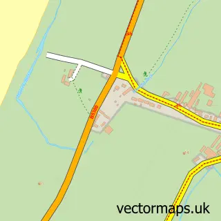
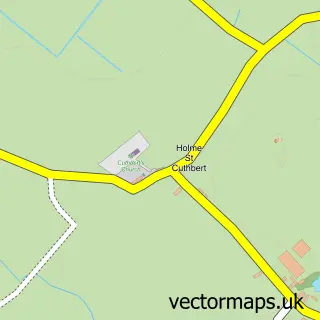
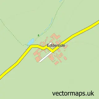
Nearby street map samples around Old Mawbray

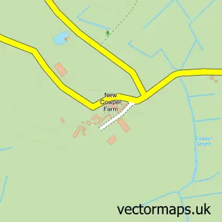
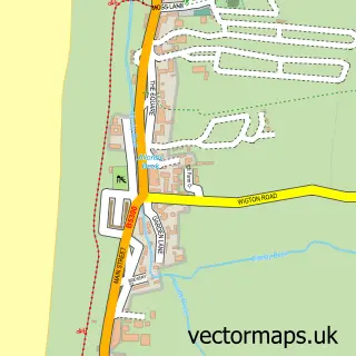
More street maps in Cumbria
750 metre map area coverage
Boundary, postcode and point of interest information for the 750m x 750m rectangle centred on this sample map.
Boundaries containing map centre
Constituency: Penrith and Solway Co Const
District: Cumberland
Icb: NHS North East and North Cumbria ICB
Parish: Holme St. Cuthbert CP
Police Force: cumbria
Postcode District: CA15
Postcode Sector: CA15 6
Ward: Aspatria Ward
Nearby boundaries intersecting sample
Postcode District: CA7
Postcode Sector: CA7 4
Postcode coverage
POI category counts
Pub: 2
Charity Organization: 1
Cheese Shop: 1
Community Services Non Profits: 1
Holiday Rental Home: 1
Landmark And Historical Building: 1
Landscaping: 1
Musician: 1
River: 1
Sample points of interest
- Culterham Hall
- Mawbray Cheese Company
- The Mawbray Village Hall
- The Retreat Holiday Home, Mawbray
- Milefortlet 16
- West Lakes Landscaping Ltd.
- Solway Music
- LACP Community
- The Lowther Arms
- Mawbray Beck
Create a larger editable map of Old Mawbray
This sample shows only a 750 metre area. To create a larger map of Old Mawbray, use our map builder to choose your own coverage area, add titles and download editable SVG, PDF and PNG files.
Create a custom map of Old Mawbray