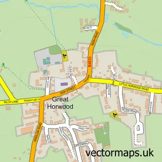
This Padbury street map is a detailed vector street map covering a 750m x 750m area. Select a larger area to create and download your own vector street map of Padbury.
The 750-metre map sample for Padbury covers 206 mapped buildings and approximately 18.7 km of road detail, of which 14 named roads are named. The immediate area includes 1 school, 2 pubs and 2 MOT stations within 2 miles. The wider area around Padbury features 2 food and drink venues. To create a larger or custom map of Padbury, the map builder lets you define your own coverage area and download editable SVG, PDF and PNG files.
Create a larger editable map of Padbury
Choose any area you need and generate a high-quality vector map instantly. Perfect for print, planning, design, business and personal use.

This Padbury street map in Buckinghamshire is available as downloadable SVG, PDF and PNG map files, or as a printed map for planning, business, display, education, local information and design work. You can also create a larger custom map area using the map selector.
What this Padbury map sample shows
Padbury lies within Padbury Cp parish, part of Winslow ward in the Buckinghamshire local authority area. The postcode geography for this area includes the MK postcode area, the MK18 postcode district and the MK18 2 postcode sector. Residents fall under the Nhs Buckinghamshire, Oxfordshire And Berkshire West Integrated Care Board for NHS services.
Local features near Padbury
Within 2 milesAmenities and services in and around Padbury.
Administrative and postcode information for Padbury
The local authority covering Padbury is Buckinghamshire, within the county of Buckinghamshire. The settlement lies within Winslow ward and Padbury Cp civil parish. The MK18 postcode district and MK18 2 postcode sector serve the immediate area. NHS provision in the area is delivered through Buckinghamshire Healthcare Nhs Trust.
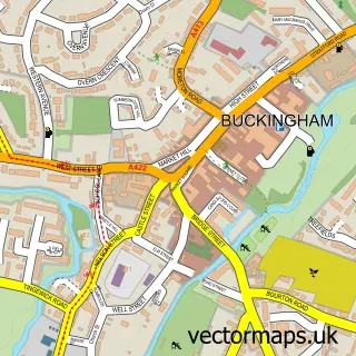
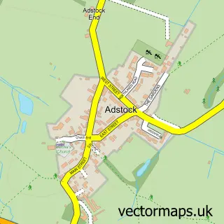
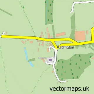
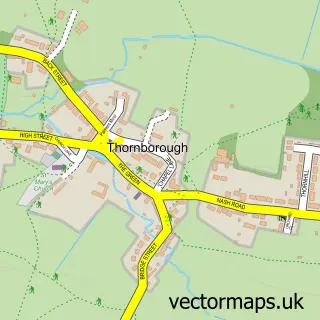
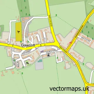
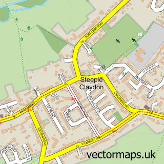
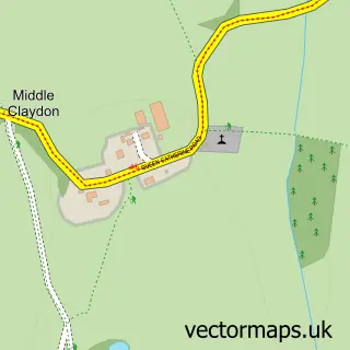
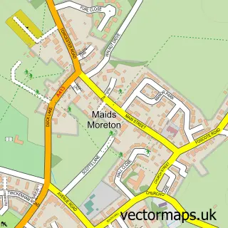
Nearby street map samples around Padbury

More street maps in Buckinghamshire
750 metre map area coverage
Boundary, postcode and point of interest information for the 750m x 750m rectangle centred on this sample map.
Boundaries containing map centre
Constituency: Buckingham and Bletchley Co Const
District: Buckinghamshire
Icb: NHS Thames Valley ICB
Parish: Padbury CP
Police Force: thames valley
Postcode District: MK18
Postcode Sector: MK18 2
Ward: Horwood Ward
Nearby boundaries intersecting sample
No additional intersecting boundaries found.
Postcode coverage
POI category counts
Elementary School: 2
Preschool: 2
Pub: 2
Anglican Church: 1
Butcher Shop: 1
Community Center: 1
Counseling And Mental Health: 1
Flowers And Gifts Shop: 1
Hvac Services: 1
It Service And Computer Repair: 1
Sample points of interest
- St Mary’s
- Padbury Meats
- Padbury Village Hall
- St. Mels Psychotherapy Practice
- Padbury CE School
- Padbury Church of England School
- Willow & Thyme
- Viking Refrigeration
- Drakewell Computers
- Padbury Playground
- Sonitel
- Padbury Pre-School
Create a larger editable map of Padbury
This sample shows only a 750 metre area. To create a larger map of Padbury, use our map builder to choose your own coverage area, add titles and download editable SVG, PDF and PNG files.
Create a custom map of Padbury