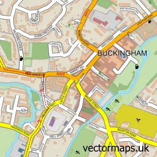
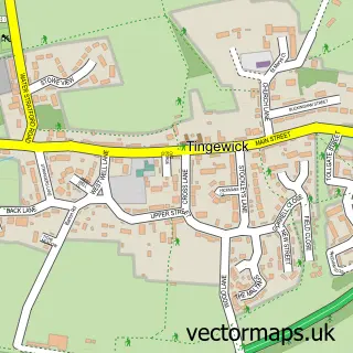
This Maids Moreton street map is a detailed vector street map covering a 750m x 750m area. Select a larger area to create and download your own vector street map of Maids Moreton.
The 750-metre map sample for Maids Moreton covers 289 mapped buildings and approximately 29.5 km of road detail, of which 24 named roads are named. The immediate area includes 1 school, 1 GP surgery within 2 miles, 1 pub and 7 MOT stations within 2 miles. The wider area around Maids Moreton features 1 tourism point of interest and 1 food and drink venue. To create a larger or custom map of Maids Moreton, the map builder lets you define your own coverage area and download editable SVG, PDF and PNG files.
Create a larger editable map of Maids Moreton
Choose any area you need and generate a high-quality vector map instantly. Perfect for print, planning, design, business and personal use.

This Maids Moreton street map in Buckinghamshire is available as downloadable SVG, PDF and PNG map files, or as a printed map for planning, business, display, education, local information and design work. You can also create a larger custom map area using the map selector.
What this Maids Moreton map sample shows
Maids Moreton lies within Maids Moreton Cp parish, part of Luffield Abbey ward in the Buckinghamshire local authority area. The postcode geography for this area includes the MK postcode area, the MK18 postcode district and the MK18 1 postcode sector. Residents fall under the Nhs Buckinghamshire, Oxfordshire And Berkshire West Integrated Care Board for NHS services.
Local features near Maids Moreton
Within 2 milesAmenities and services in and around Maids Moreton.
Administrative and postcode information for Maids Moreton
The local authority covering Maids Moreton is Buckinghamshire, within the county of Buckinghamshire. The settlement lies within Luffield Abbey ward and Maids Moreton Cp civil parish. The MK18 postcode district and MK18 1 postcode sector serve the immediate area. NHS provision in the area is delivered through Milton Keynes University Hospital Nhs Foundation Trust.
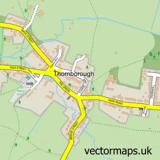
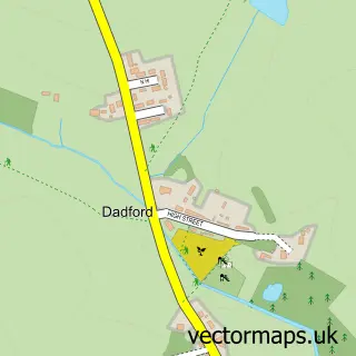
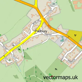
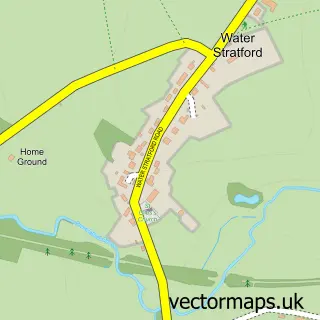
Nearby street map samples around Maids Moreton

More street maps in Buckinghamshire
750 metre map area coverage
Boundary, postcode and point of interest information for the 750m x 750m rectangle centred on this sample map.
Boundaries containing map centre
Constituency: Buckingham and Bletchley Co Const
District: Buckinghamshire
Icb: NHS Thames Valley ICB
Parish: Maids Moreton CP
Police Force: thames valley
Postcode District: MK18
Postcode Sector: MK18 1
Ward: Buckingham Ward
Nearby boundaries intersecting sample
Parish: Buckingham CP
Postcode coverage
POI category counts
Assisted Living Facility: 2
Linen: 2
Preschool: 2
Retirement Home: 2
Sports Club And League: 2
Veterinarian: 2
Advertising Agency: 1
Ambulance And Ems Services: 1
Anglican Church: 1
Bar: 1
Sample points of interest
- Andrew Hyde Business Communications
- Maids Moreton Ambulance Station
- Maids Moreton: St Edmund
- Gracewell of Maids Moreton
- Maids Moreton Village Hall
- Buckingham Arms
- Manor Beauty
- St Edmunds Church
- Maids Moreton C of E School
- Black Dog HR Consultancy Ltd.
- Geo-Integrity
- Buckingham Fencing and Groundworks
Create a larger editable map of Maids Moreton
This sample shows only a 750 metre area. To create a larger map of Maids Moreton, use our map builder to choose your own coverage area, add titles and download editable SVG, PDF and PNG files.
Create a custom map of Maids Moreton