Vector Maps logo
Home Why it works Popular maps Districts Samples Customizer Create Your Map
VectorMaps.uk
Home Popular maps Districts Samples Customizer Create Your Map Privacy Disclaimer
Home / UK Maps / Buckinghamshire / Akeley Map

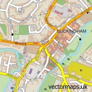
This Akeley street map is a detailed vector street map covering a 750m x 750m area. Select a larger area to create and download your own vector street map of Akeley.

Akeley is a village in Buckinghamshire, in the South East of England. The settlement falls within the Buckingham parliamentary constituency. It is served by the MK18 postcode district, with MK18 5 as the local postcode sector.

The 750-metre map sample for Akeley covers 175 mapped buildings and approximately 26.5 km of road detail, of which 9 named roads are named. To create a larger or custom map of Akeley, the map builder lets you define your own coverage area and download editable SVG, PDF and PNG files.

175Buildings
26.53 kmRoads
9Named roads
1,403Residents within 2 miles
Create your own

Create a larger editable map of Akeley

Choose any area you need and generate a high-quality vector map instantly. Perfect for print, planning, design, business and personal use.

Choose any location
Editable SVG files
Any size up to A0
PDF, PNG & more
Instant download
High quality guaranteed
Create My Custom Map
Secure, private & no credit card required
Akeley Vector Street Map
750m Sample
Akeley vector street map sample showing roads, buildings and local features in a 750 metre preview area
Buy Akeley Map Print from £12.95 Buy Akeley Digital Map from £6

This Akeley street map in Buckinghamshire is available as downloadable SVG, PDF and PNG map files, or as a printed map for planning, business, display, education, local information and design work. You can also create a larger custom map area using the map selector.

What this Akeley map sample shows

Akeley lies within Akeley Cp parish, part of Luffield Abbey ward in the Buckinghamshire local authority area. The postcode geography for this area includes the MK postcode area, the MK18 postcode district and the MK18 5 postcode sector. Residents fall under the Nhs Buckinghamshire, Oxfordshire And Berkshire West Integrated Care Board for NHS services.

Administrative and postcode information for Akeley

The local authority covering Akeley is Buckinghamshire, within the county of Buckinghamshire. The settlement lies within Luffield Abbey ward and Akeley Cp civil parish. The MK18 postcode district and MK18 5 postcode sector serve the immediate area. NHS provision in the area is delivered through Milton Keynes University Hospital Nhs Foundation Trust.

Parish Akeley CP
Ward Luffield Abbey
District / local authority Buckinghamshire
County Buckinghamshire
Historic county Buckinghamshire
Postcode district MK18
Postcode sector MK18 5
Parliamentary constituency Buckingham
Region South East
Country England

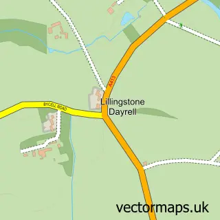
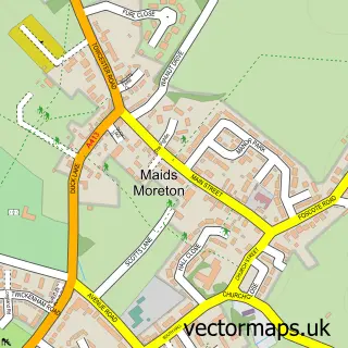
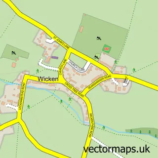
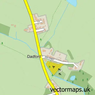
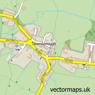
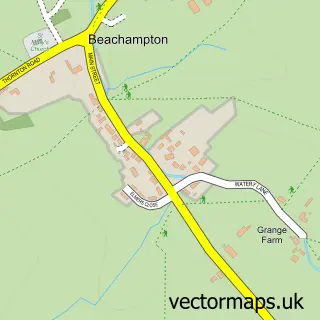
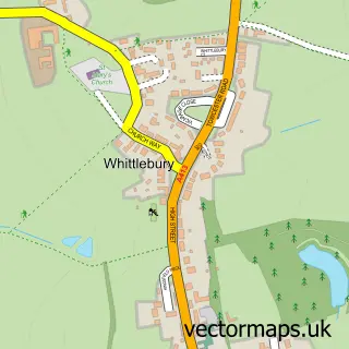
Nearby street map samples around Akeley

Street map sample of Buckingham, Buckinghamshire Buckingham Town - Buckinghamshire - 2.5 miles Street map sample of Milton Keynes, Buckinghamshire Milton Keynes City - Buckinghamshire - 8.9 miles Street map sample of Lillingstone Dayrell, Buckinghamshire Lillingstone Dayrell Village - Buckinghamshire - 1.3 miles Street map sample of Maids Moreton, Buckinghamshire Maids Moreton Village - Buckinghamshire - 1.4 miles Street map sample of Wicken, Northamptonshire Wicken Village - Northamptonshire - 2.5 miles Street map sample of Dadford, Buckinghamshire Dadford Village - Buckinghamshire - 2.6 miles Street map sample of Thornborough, Buckinghamshire Thornborough Village - Buckinghamshire - 3.4 miles Street map sample of Deanshanger, Northamptonshire Deanshanger Village - Northamptonshire - 3.6 miles Street map sample of Beachampton, Buckinghamshire Beachampton Village - Buckinghamshire - 4.0 miles Street map sample of Whittlebury, Northamptonshire Whittlebury Village - Northamptonshire - 4.0 miles

More street maps in Buckinghamshire

Street map sample of Lillingstone Dayrell, Buckinghamshire Lillingstone Dayrell Village - 1.3 miles Street map sample of Maids Moreton, Buckinghamshire Maids Moreton Village - 1.4 miles Street map sample of Buckingham, Buckinghamshire Buckingham Town - 2.5 miles Street map sample of Dadford, Buckinghamshire Dadford Village - 2.6 miles Street map sample of Thornborough, Buckinghamshire Thornborough Village - 3.4 miles

750 metre map area coverage

Boundary, postcode and point of interest information for the 750m x 750m rectangle centred on this sample map.

Boundaries containing map centre

Constituency: Buckingham and Bletchley Co Const

District: Buckinghamshire

Icb: NHS Thames Valley ICB

Parish: Akeley CP

Police Force: thames valley

Postcode District: MK18

Postcode Sector: MK18 5

Ward: Buckingham Ward

Nearby boundaries intersecting sample

Parish: Foscott CP

Postcode coverage

MK18 MK18 5

POI category counts

Alternative Medicine: 1

Beauty Salon: 1

Building Supply Store: 1

Bus Station: 1

Carpenter: 1

Construction Services: 1

Cosmetology School: 1

Eat And Drink: 1

Elementary School: 1

Hair Salon: 1

Sample points of interest

  • Think Holistic Alternative Medicine
  • Gemz beauty Gemma Bentley-Major Beauty Salon
  • Scrubs Up Nicely Building Supply Store
  • The Bull & Butcher Bus Station
  • LJC Carpentry Carpenter
  • Thomas Charles Grant Construction Services
  • Red Barn Training Cosmetology School
  • Ivy Cottage Kitchen Eat And Drink
  • St James and St John C of E Primary School Elementary School
  • Red Barn Hair Hair Salon
  • ESX Clean Home Cleaning
  • Purple Dog Solutions Marketing Agency

Create a larger editable map of Akeley

This sample shows only a 750 metre area. To create a larger map of Akeley, use our map builder to choose your own coverage area, add titles and download editable SVG, PDF and PNG files.

Create a custom map of Akeley

Phone 01751 473136 | Copyright Vectormaps.uk 2026

Samples Customizer Privacy Disclaimer
Akeley Vector Street Map
Akeley enlarged street map sample showing a 750 metre preview area