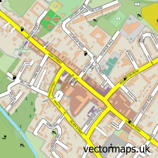
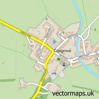
This Wicken street map is a detailed vector street map covering a 750m x 750m area. Select a larger area to create and download your own vector street map of Wicken.
The 750-metre map sample for Wicken covers 107 mapped buildings and approximately 18.9 km of road detail, of which 9 named roads are named. The immediate area includes 2 pubs. The wider area around Wicken features 2 food and drink venues. To create a larger or custom map of Wicken, the map builder lets you define your own coverage area and download editable SVG, PDF and PNG files.
Create a larger editable map of Wicken
Choose any area you need and generate a high-quality vector map instantly. Perfect for print, planning, design, business and personal use.

This Wicken street map in Northamptonshire is available as downloadable SVG, PDF and PNG map files, or as a printed map for planning, business, display, education, local information and design work. You can also create a larger custom map area using the map selector.
What this Wicken map sample shows
Wicken lies within Wicken Cp parish, part of Deanshanger ward in the West Northamptonshire local authority area. The postcode geography for this area includes the MK postcode area, the MK19 postcode district and the MK19 6 postcode sector. Residents fall under the Nhs Northamptonshire Integrated Care Board for NHS services.
Local features near Wicken
Within 2 milesAmenities and services in and around Wicken.
Administrative and postcode information for Wicken
Wicken lies within Wicken Cp parish, part of Deanshanger ward in the West Northamptonshire local authority area. The postcode geography for this area includes the MK postcode area, the MK19 postcode district and the MK19 6 postcode sector. Residents fall under the Nhs Northamptonshire Integrated Care Board for NHS services.
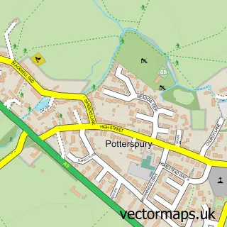
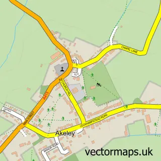
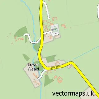
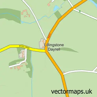
Nearby street map samples around Wicken


More street maps in Northamptonshire
750 metre map area coverage
Boundary, postcode and point of interest information for the 750m x 750m rectangle centred on this sample map.
Boundaries containing map centre
Constituency: South Northamptonshire Co Const
District: West Northamptonshire
Icb: NHS Northamptonshire ICB
Parish: Wicken CP
Police Force: northamptonshire
Postcode District: MK19
Postcode Sector: MK19 6
Ward: Deanshanger & Paulerspury Ward
Nearby boundaries intersecting sample
No additional intersecting boundaries found.
Postcode coverage
POI category counts
Sports Club And League: 3
Pub: 2
Anglican Church: 1
Building Supply Store: 1
Church Cathedral: 1
Financial Advising: 1
Flowers And Gifts Shop: 1
Telecommunications: 1
Tennis Court: 1
Sample points of interest
- St John the Evangelist
- Clark & Son Electrical Service Ltd
- Wicken Church
- DWC Financial Services
- Ivy Amelia Florals
- The White Lion at Wicken
- The White Lion at Wicken
- Wicken Archery Club
- Wicken Cricket Club
- Wicken Sports & Social Club
- Stony Stratford Aerials
- Wicken Tennis Club
Create a larger editable map of Wicken
This sample shows only a 750 metre area. To create a larger map of Wicken, use our map builder to choose your own coverage area, add titles and download editable SVG, PDF and PNG files.
Create a custom map of Wicken