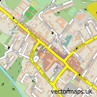
This Deanshanger street map is a detailed vector street map covering a 750m x 750m area. Select a larger area to create and download your own vector street map of Deanshanger.
The 750-metre map sample for Deanshanger covers 516 mapped buildings and approximately 31.5 km of road detail, of which 36 named roads are named. The immediate area includes 2 GP surgeries within 2 miles, 3 pubs and 4 MOT stations within 2 miles. The wider area around Deanshanger features 6 food and drink venues. To create a larger or custom map of Deanshanger, the map builder lets you define your own coverage area and download editable SVG, PDF and PNG files.
Create a larger editable map of Deanshanger
Choose any area you need and generate a high-quality vector map instantly. Perfect for print, planning, design, business and personal use.

This Deanshanger street map in Northamptonshire is available as downloadable SVG, PDF and PNG map files, or as a printed map for planning, business, display, education, local information and design work. You can also create a larger custom map area using the map selector.
What this Deanshanger map sample shows
Deanshanger lies within Deanshanger Cp parish, part of Deanshanger ward in the West Northamptonshire local authority area. The postcode geography for this area includes the MK postcode area, the MK19 postcode district and the MK19 6 postcode sector. Residents fall under the Nhs Northamptonshire Integrated Care Board for NHS services.
Local features near Deanshanger
Within 2 milesAmenities and services in and around Deanshanger.
Administrative and postcode information for Deanshanger
The local authority covering Deanshanger is West Northamptonshire, within the county of Northamptonshire. The settlement lies within Deanshanger ward and Deanshanger Cp civil parish. The MK19 postcode district and MK19 6 postcode sector serve the immediate area. NHS provision in the area is delivered through Milton Keynes University Hospital Nhs Foundation Trust.
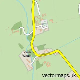
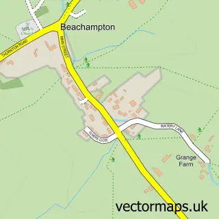
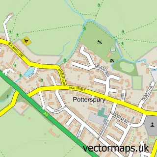
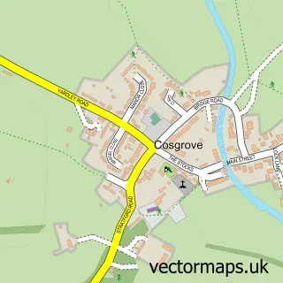
Nearby street map samples around Deanshanger


More street maps in Northamptonshire
750 metre map area coverage
Boundary, postcode and point of interest information for the 750m x 750m rectangle centred on this sample map.
Boundaries containing map centre
Constituency: South Northamptonshire Co Const
District: West Northamptonshire
Icb: NHS Northamptonshire ICB
Parish: Deanshanger CP
Police Force: northamptonshire
Postcode District: MK19
Postcode Sector: MK19 6
Ward: Deanshanger & Paulerspury Ward
Nearby boundaries intersecting sample
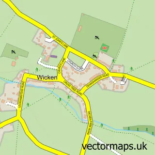
Parish: Wicken CP
Postcode coverage
POI category counts
Taxi Service: 9
Beauty Salon: 4
Painting: 3
Professional Services: 3
Pub: 3
Beauty And Spa: 2
Church Cathedral: 2
Coffee Shop: 2
Hair Salon: 2
Real Estate Agent: 2
Sample points of interest
- DansonOsborne Accountants
- Closing the Loop
- Towcester Corporate Cars
- HOTS Dobermann Dog Rescue
- The Cooperative Food Deanshanger High Street, Deanshanger
- Cupids Celebration Cakes
- Deanshanger Conservative Club
- Holistic Healing By Paula
- Scallywags
- Excelsior Hair & Beauty
- Hair Innovations MK
- ILash Beauty
Create a larger editable map of Deanshanger
This sample shows only a 750 metre area. To create a larger map of Deanshanger, use our map builder to choose your own coverage area, add titles and download editable SVG, PDF and PNG files.
Create a custom map of Deanshanger