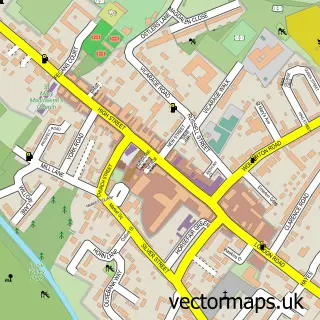
This Yardley Gobion street map is a detailed vector street map covering a 750m x 750m area. Select a larger area to create and download your own vector street map of Yardley Gobion.
The 750-metre map sample for Yardley Gobion covers 312 mapped buildings and approximately 20.2 km of road detail, of which 23 named roads are named. The immediate area includes 1 school and 1 MOT station, with 2 within 2 miles. The wider area around Yardley Gobion features 1 food and drink venue. To create a larger or custom map of Yardley Gobion, the map builder lets you define your own coverage area and download editable SVG, PDF and PNG files.
Create a larger editable map of Yardley Gobion
Choose any area you need and generate a high-quality vector map instantly. Perfect for print, planning, design, business and personal use.

This Yardley Gobion street map in Northamptonshire is available as downloadable SVG, PDF and PNG map files, or as a printed map for planning, business, display, education, local information and design work. You can also create a larger custom map area using the map selector.
What this Yardley Gobion map sample shows
Yardley Gobion lies within Yardley Gobion Cp parish, part of Cosgrove And Grafton ward in the West Northamptonshire local authority area. The postcode geography for this area includes the NN postcode area, the NN12 postcode district and the NN12 7 postcode sector. Residents fall under the Nhs Northamptonshire Integrated Care Board for NHS services.
Local features near Yardley Gobion
Within 2 milesAmenities and services in and around Yardley Gobion.
Administrative and postcode information for Yardley Gobion
The local authority covering Yardley Gobion is West Northamptonshire, within the county of Northamptonshire. The settlement lies within Cosgrove And Grafton ward and Yardley Gobion Cp civil parish. The NN12 postcode district and NN12 7 postcode sector serve the immediate area. NHS provision in the area is delivered through Northampton General Hospital Nhs Trust.
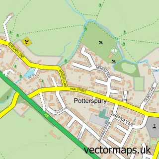
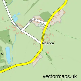
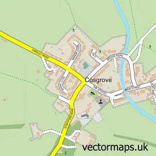
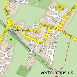
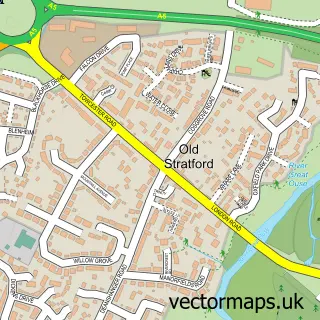
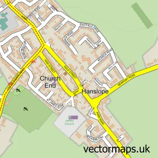
Nearby street map samples around Yardley Gobion


More street maps in Northamptonshire
750 metre map area coverage
Boundary, postcode and point of interest information for the 750m x 750m rectangle centred on this sample map.
Boundaries containing map centre
Constituency: South Northamptonshire Co Const
District: West Northamptonshire
Icb: NHS Northamptonshire ICB
Parish: Yardley Gobion CP
Police Force: northamptonshire
Postcode District: NN12
Postcode Sector: NN12 7
Ward: Deanshanger & Paulerspury Ward
Nearby boundaries intersecting sample
No additional intersecting boundaries found.
Postcode coverage
POI category counts
Convenience Store: 3
Education: 3
Beauty Salon: 2
Church Cathedral: 2
Sports Club And League: 2
Abuse And Addiction Treatment: 1
Acupuncture: 1
Anglican Church: 1
Arts And Entertainment: 1
Automotive Repair: 1
Sample points of interest
- Asana Lodge
- Omhealing Ayurvedic Acupuncture Clinic
- St Leonard's
- Jayamac Productions
- Lathbury Garage
- Ridewell Motorcycle Training
- Julia Martin, Makeup Artist
- Kingfisher Marinas
- Claire's Little Café
- St Leonards Church
- Yardley Gobion
- Crystal Maids
Create a larger editable map of Yardley Gobion
This sample shows only a 750 metre area. To create a larger map of Yardley Gobion, use our map builder to choose your own coverage area, add titles and download editable SVG, PDF and PNG files.
Create a custom map of Yardley Gobion