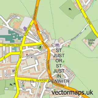
This Pendeen street map is a detailed vector street map covering a 750m x 750m area. Select a larger area to create and download your own vector street map of Pendeen.
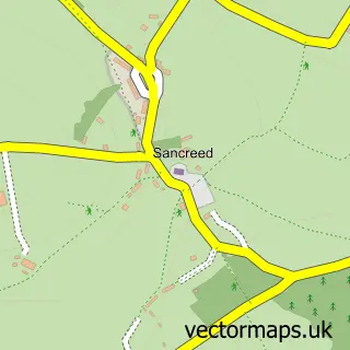
The 750-metre map sample for Pendeen covers 189 mapped buildings and approximately 10.0 km of road detail, of which 10 named roads are named. The immediate area includes 1 school, 2 pubs and 2 MOT stations within 2 miles. The wider area around Pendeen features 1 tourism point of interest, 2 food and drink venues and 1 hotel. To create a larger or custom map of Pendeen, the map builder lets you define your own coverage area and download editable SVG, PDF and PNG files.
Create a larger editable map of Pendeen
Choose any area you need and generate a high-quality vector map instantly. Perfect for print, planning, design, business and personal use.

This Pendeen street map in Cornwall is available as downloadable SVG, PDF and PNG map files, or as a printed map for planning, business, display, education, local information and design work. You can also create a larger custom map area using the map selector.
What this Pendeen map sample shows
Pendeen lies within St. Just Cp parish, part of St Just In Penwith ward in the Cornwall local authority area. The postcode geography for this area includes the TR postcode area, the TR19 postcode district and the TR19 7 postcode sector. Residents fall under the Nhs Cornwall And The Isles Of Scilly Integrated Care Board for NHS services.
Local features near Pendeen
Within 2 milesAmenities and services in and around Pendeen.
Administrative and postcode information for Pendeen
Pendeen lies within St. Just Cp parish, part of St Just In Penwith ward in the Cornwall local authority area. The postcode geography for this area includes the TR postcode area, the TR19 postcode district and the TR19 7 postcode sector. Residents fall under the Nhs Cornwall And The Isles Of Scilly Integrated Care Board for NHS services.
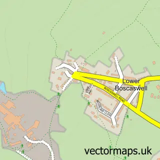
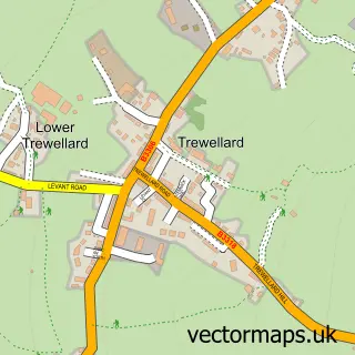
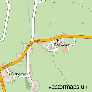
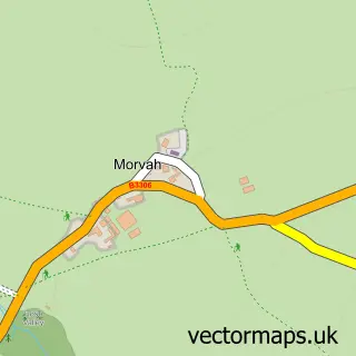
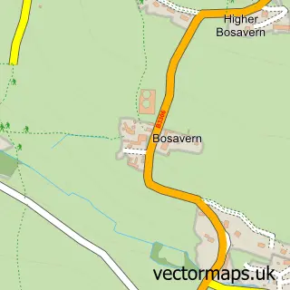
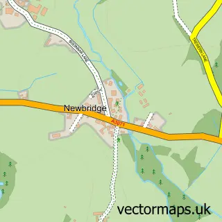
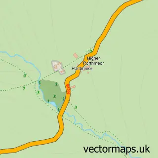
Nearby street map samples around Pendeen

More street maps in Cornwall
750 metre map area coverage
Boundary, postcode and point of interest information for the 750m x 750m rectangle centred on this sample map.
Boundaries containing map centre
Constituency: St. Ives Co Const
District: Cornwall
Icb: NHS Cornwall and the Isles of Scilly ICB
Parish: St. Just CP
Police Force: devon and cornwall
Postcode District: TR19
Postcode Sector: TR19 7
Nearby boundaries intersecting sample
No additional intersecting boundaries found.
Postcode coverage
POI category counts
Anglican Church: 2
Books Mags Music And Video: 2
Pub: 2
Antique Store: 1
Art Gallery: 1
Arts And Crafts: 1
Arts And Entertainment: 1
Charity Organization: 1
Church Cathedral: 1
Clothing Store: 1
Sample points of interest
- Pendeen: St John the Baptist
- St John the Baptist Church
- Davys Cornwall Penzance Art Antiques Jewellery & Collectors Market
- Yew Tree Gallery
- Pendeen Pottery and Gallery
- Funny Faces Cornwall
- Pendeen Post Office
- Post Office-Pendeen
- Centre Of Pendeen - Community Hub
- Pendeen church
- Pulchra Jewellers
- Centre of Pendeen
Create a larger editable map of Pendeen
This sample shows only a 750 metre area. To create a larger map of Pendeen, use our map builder to choose your own coverage area, add titles and download editable SVG, PDF and PNG files.
Create a custom map of Pendeen