Vector Maps logo
Home Why it works Popular maps Districts Samples Customizer Create Your Map
VectorMaps.uk
Home Popular maps Districts Samples Customizer Create Your Map Privacy Disclaimer
Home / UK Maps / Perth and Kinross / Pitlochry Map

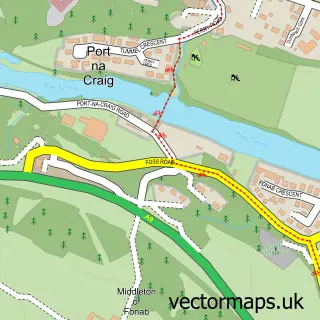
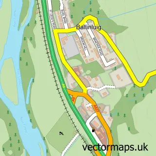
This Pitlochry street map is a detailed vector street map covering a 750m x 750m area. Select a larger area to create and download your own vector street map of Pitlochry.

Pitlochry is a town in Perth And Kinross, in the Mid Scotland And Fife of Scotland. Historically, the area formed part of Perthshire. The settlement falls within the Perth And North Perthshire parliamentary constituency. It is served by the PH16 postcode

The 750-metre map sample for Pitlochry covers 174 mapped buildings and approximately 17.0 km of road detail, of which 37 named roads are named. The immediate area includes 1 railway station, 1 GP surgery and 1 MOT station within 2 miles. The wider area around Pitlochry features 4 tourism points of interest, 10 food and drink venues and 24 hotels. To create a larger or custom map of Pitlochry, the map builder lets you define your own coverage area and download editable SVG, PDF and PNG files.

174Buildings
17.03 kmRoads
37Named roads
0Residents within 2 miles
Create your own

Create a larger editable map of Pitlochry

Choose any area you need and generate a high-quality vector map instantly. Perfect for print, planning, design, business and personal use.

Choose any location
Editable SVG files
Any size up to A0
PDF, PNG & more
Instant download
High quality guaranteed
Create My Custom Map
Secure, private & no credit card required
Pitlochry Vector Street Map
750m Sample
Pitlochry vector street map sample showing roads, buildings and local features in a 750 metre preview area
Buy Pitlochry Map Print from £12.95 Buy Pitlochry Digital Map from £6

This Pitlochry street map in Perth and Kinross is available as downloadable SVG, PDF and PNG map files, or as a printed map for planning, business, display, education, local information and design work. You can also create a larger custom map area using the map selector.

What this Pitlochry map sample shows

Pitlochry lies within Perth And Kinross parish, part of Highland ward in the Perth And Kinross local authority area. The postcode geography for this area includes the PH postcode area, the PH16 postcode district and the PH16 5 postcode sector. Residents fall under the Tayside for NHS services.

Local features near Pitlochry

Within 2 miles

Amenities and services in and around Pitlochry.

1 Railway stations
1 GP surgeries 1 within 2 miles
1 MOT stations within 2 miles
4 Tourism & leisure
10 Food & drink
24 Hotels
6 Healthcare POIs
1 Vehicle services

Counts are approximate and based on publicly available data.

Administrative and postcode information for Pitlochry

Pitlochry lies within Perth And Kinross parish, part of Highland ward in the Perth And Kinross local authority area. The postcode geography for this area includes the PH postcode area, the PH16 postcode district and the PH16 5 postcode sector. Residents fall under the Tayside for NHS services.

Parish PERTH AND KINROSS
Ward Highland
District / local authority Perth and Kinross
County Perth and Kinross
Historic county Perthshire
Postcode district PH16
Postcode sector PH16 5
Parliamentary constituency Perth and North Perthshire
Region Mid Scotland and Fife
Country Scotland

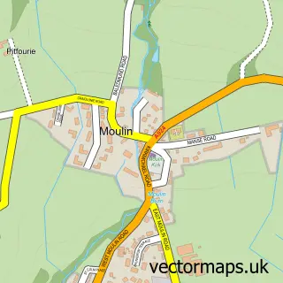
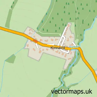
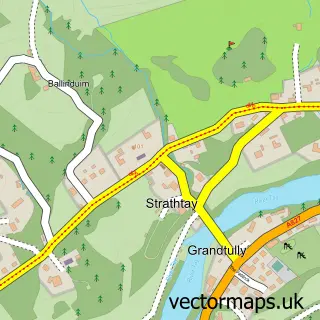
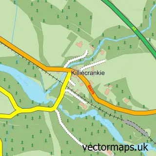
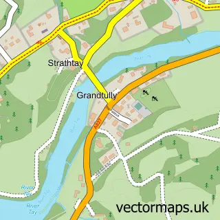
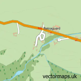
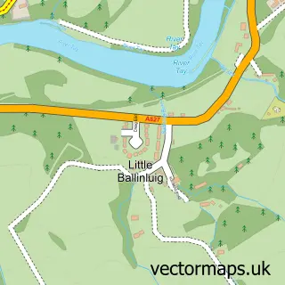
Nearby street map samples around Pitlochry

Street map sample of Perth, Perth and Kinross Perth City - Perth and Kinross - 24.0 miles Street map sample of Port na Craig, Perth and Kinross Port na Craig Village - Perth and Kinross - 0.3 miles Street map sample of Moulin, Perth and Kinross Moulin Village - Perth and Kinross - 0.8 miles Street map sample of Kinnaird, Perth and Kinross Kinnaird Village - Perth and Kinross - 1.1 miles Street map sample of Strathtay, Perth and Kinross Strathtay Village - Perth and Kinross - 3.4 miles Street map sample of Killiecrankie, Perth and Kinross Killiecrankie Village - Perth and Kinross - 3.5 miles Street map sample of Grandtully, Perth and Kinross Grandtully Village - Perth and Kinross - 3.5 miles Street map sample of Balnaguard, Perth and Kinross Balnaguard Village - Perth and Kinross - 3.9 miles Street map sample of Little Ballinluig, Perth and Kinross Little Ballinluig Village - Perth and Kinross - 3.9 miles Street map sample of Ballinluig, Perth and Kinross Ballinluig Village - Perth and Kinross - 4.0 miles

More street maps in Perth and Kinross

Street map sample of Port na Craig, Perth and Kinross Port na Craig Village - 0.3 miles Street map sample of Moulin, Perth and Kinross Moulin Village - 0.8 miles Street map sample of Kinnaird, Perth and Kinross Kinnaird Village - 1.1 miles Street map sample of Strathtay, Perth and Kinross Strathtay Village - 3.4 miles Street map sample of Killiecrankie, Perth and Kinross Killiecrankie Village - 3.5 miles

750 metre map area coverage

Boundary, postcode and point of interest information for the 750m x 750m rectangle centred on this sample map.

Boundaries containing map centre

Constituency: Angus and Perthshire Glens Co Const

District: Perth and Kinross

Icb: Tayside

Postcode District: PH16

Postcode Sector: PH16 5

Ward: Highland Ward

Nearby boundaries intersecting sample

No additional intersecting boundaries found.

Postcode coverage

PH16 PH16 5

POI category counts

Hotel: 24

Bed And Breakfast: 22

Cafe: 6

Clothing Store: 6

Bakery: 5

Flowers And Gifts Shop: 5

Bar: 3

Cottage: 3

Hair Salon: 3

Outdoor Gear: 3

Sample points of interest

  • Pitlochry Outdoor Activities Active Life
  • Melt Gallery Art Gallery
  • The Perthshire Gallery Art Gallery
  • Tay Piping Arts And Entertainment
  • Balhousie Pitlochry Care Home Assisted Living Facility
  • Tartan Interior Detailing Auto Detailing
  • Perthshire Woollens B2b Textiles
  • Greggs Bakery
  • Highland Chocolatier Bakery
  • Mackenzie's Bakery Bakery
  • The Bakery Pitlochry Bakery
  • The Hairy Coos Piecebox Bakery

Create a larger editable map of Pitlochry

This sample shows only a 750 metre area. To create a larger map of Pitlochry, use our map builder to choose your own coverage area, add titles and download editable SVG, PDF and PNG files.

Create a custom map of Pitlochry

Phone 01751 473136 | Copyright Vectormaps.uk 2026

Samples Customizer Privacy Disclaimer
Pitlochry Vector Street Map
Pitlochry enlarged street map sample showing a 750 metre preview area