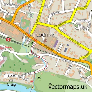
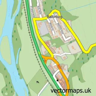
This Port na Craig street map is a detailed vector street map covering a 750m x 750m area. Select a larger area to create and download your own vector street map of Port na Craig.
The 750-metre map sample for Port na Craig covers 79 mapped buildings and approximately 11.8 km of road detail, of which 9 named roads are named. The immediate area includes 1 GP surgery within 2 miles, 1 pub and 1 MOT station within 2 miles. The wider area around Port na Craig features 4 tourism points of interest, 2 food and drink venues and 3 hotels. To create a larger or custom map of Port na Craig, the map builder lets you define your own coverage area and download editable SVG, PDF and PNG files.
Create a larger editable map of Port na Craig
Choose any area you need and generate a high-quality vector map instantly. Perfect for print, planning, design, business and personal use.

This Port na Craig street map in Perth and Kinross is available as downloadable SVG, PDF and PNG map files, or as a printed map for planning, business, display, education, local information and design work. You can also create a larger custom map area using the map selector.
What this Port na Craig map sample shows
Port na Craig lies within Perth And Kinross parish, part of Highland ward in the Perth And Kinross local authority area. The postcode geography for this area includes the PH postcode area, the PH16 postcode district and the PH16 5 postcode sector. Residents fall under the Tayside for NHS services.
Local features near Port na Craig
Within 2 milesAmenities and services in and around Port na Craig.
Administrative and postcode information for Port na Craig
The local authority covering Port na Craig is Perth And Kinross, within the county of Perth And Kinross. The settlement lies within Highland ward and Perth And Kinross civil parish. The PH16 postcode district and PH16 5 postcode sector serve the immediate area. NHS provision in the area is delivered through Tayside.
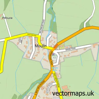
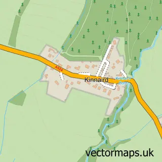
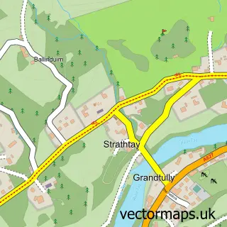
Nearby street map samples around Port na Craig

More street maps in Perth and Kinross
750 metre map area coverage
Boundary, postcode and point of interest information for the 750m x 750m rectangle centred on this sample map.
Boundaries containing map centre
Constituency: Angus and Perthshire Glens Co Const
District: Perth and Kinross
Icb: Tayside
Postcode District: PH16
Postcode Sector: PH16 5
Ward: Highland Ward
Nearby boundaries intersecting sample
No additional intersecting boundaries found.
Postcode coverage
POI category counts
Hotel: 3
Park: 3
Accommodation: 1
Arts And Entertainment: 1
Attractions And Activities: 1
Bed And Breakfast: 1
Bridge: 1
British Restaurant: 1
Holiday Rental Home: 1
Meat Wholesaler: 1
Sample points of interest
- Benview holiday home
- Pitlochry Fish Dam And Ladder
- Explorers Garden at Pitlochry Festival Theatre
- Woodburn House B&B
- Port-na-Craig Bridge
- Sandemans Fine Dining Restaurant
- benview14
- Dundarach Hotel
- Ferry Cottage Pitlochry
- Linfield Holiday Home
- Hubertus Game Ltd.
- Explorers Garden
Create a larger editable map of Port na Craig
This sample shows only a 750 metre area. To create a larger map of Port na Craig, use our map builder to choose your own coverage area, add titles and download editable SVG, PDF and PNG files.
Create a custom map of Port na Craig