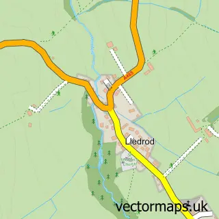
This Pontrhydfendigaid street map is a detailed vector street map covering a 750m x 750m area. Select a larger area to create and download your own vector street map of Pontrhydfendigaid.
The 750-metre map sample for Pontrhydfendigaid covers 136 mapped buildings and approximately 9.2 km of road detail, of which 6 named roads are named. The immediate area includes 1 school. The wider area around Pontrhydfendigaid features 2 hotels. To create a larger or custom map of Pontrhydfendigaid, the map builder lets you define your own coverage area and download editable SVG, PDF and PNG files.
Create a larger editable map of Pontrhydfendigaid
Choose any area you need and generate a high-quality vector map instantly. Perfect for print, planning, design, business and personal use.

This Pontrhydfendigaid street map in Dyfed is available as downloadable SVG, PDF and PNG map files, or as a printed map for planning, business, display, education, local information and design work. You can also create a larger custom map area using the map selector.
What this Pontrhydfendigaid map sample shows
Pontrhydfendigaid lies within Ystrad Fflur Community parish, part of Lledrod ward in the Sir Ceredigion - Ceredigion local authority area. The postcode geography for this area includes the SY postcode area, the SY25 postcode district and the SY25 6 postcode sector. Residents fall under the Hywel Dda University Health Board for NHS services.
Local features near Pontrhydfendigaid
Within 2 milesAmenities and services in and around Pontrhydfendigaid.
Administrative and postcode information for Pontrhydfendigaid
The local authority covering Pontrhydfendigaid is Sir Ceredigion - Ceredigion, within the county of Dyfed. The settlement lies within Lledrod ward and Ystrad Fflur Community civil parish. The SY25 postcode district and SY25 6 postcode sector serve the immediate area. NHS provision in the area is delivered through Hywel Dda University Health Board.
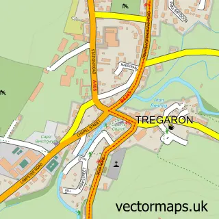
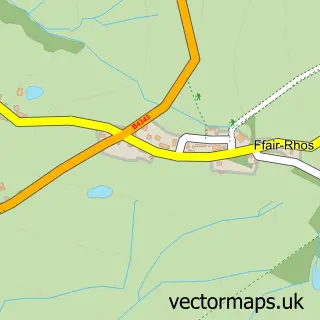
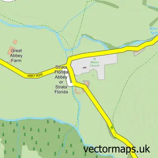
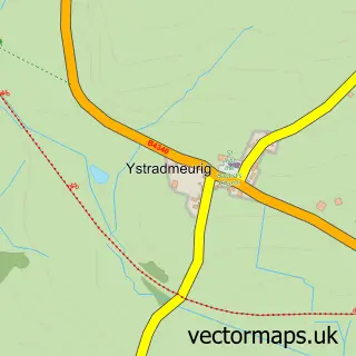
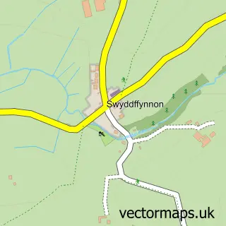
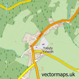
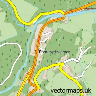
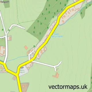
Nearby street map samples around Pontrhydfendigaid

More street maps in Dyfed
750 metre map area coverage
Boundary, postcode and point of interest information for the 750m x 750m rectangle centred on this sample map.
Boundaries containing map centre
Constituency: Ceredigion Preseli Co Const
District: Sir Ceredigion - Ceredigion
Icb: Hywel Dda
Parish: Ystrad Fflur Community
Police Force: dyfed-powys
Postcode District: SY25
Postcode Sector: SY25 6
Nearby boundaries intersecting sample
No additional intersecting boundaries found.
Postcode coverage
POI category counts
Hotel: 2
Bed And Breakfast: 1
Beer Bar: 1
Community Services Non Profits: 1
Convenience Store: 1
Day Care Preschool: 1
Flowers And Gifts Shop: 1
Home Cleaning: 1
Music Venue: 1
Pet Boarding: 1
Sample points of interest
- Black Lion Hotel
- Red Lion Public House and Hotel Ponterhydfeneigiad
- Pontrhydfendigaid Village Hall - Neuadd Pantyfedwen
- Siop y Bont
- Cylch Meithrin Pontrhydfendigaid
- The Puppet Master
- A-T Window Cleaners
- Black Lion Hotel
- Red Lion Hotel
- Pafiliwn Bont
- Parc Teifi
- Post Office
Create a larger editable map of Pontrhydfendigaid
This sample shows only a 750 metre area. To create a larger map of Pontrhydfendigaid, use our map builder to choose your own coverage area, add titles and download editable SVG, PDF and PNG files.
Create a custom map of Pontrhydfendigaid