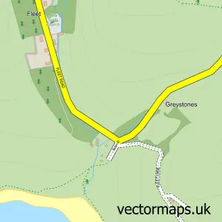
This Portesham street map is a detailed vector street map covering a 750m x 750m area. Select a larger area to create and download your own vector street map of Portesham.
The 750-metre map sample for Portesham covers 240 mapped buildings and approximately 13.1 km of road detail, of which 18 named roads are named. The immediate area includes 1 school and 1 pub. The wider area around Portesham features 2 tourism points of interest, 2 food and drink venues and 1 campsite within 2 miles. To create a larger or custom map of Portesham, the map builder lets you define your own coverage area and download editable SVG, PDF and PNG files.
Create a larger editable map of Portesham
Choose any area you need and generate a high-quality vector map instantly. Perfect for print, planning, design, business and personal use.

This Portesham street map in Dorset is available as downloadable SVG, PDF and PNG map files, or as a printed map for planning, business, display, education, local information and design work. You can also create a larger custom map area using the map selector.
What this Portesham map sample shows
Portesham lies within Portesham Cp parish, part of Chesil Bank ward in the Dorset local authority area. The postcode geography for this area includes the DT postcode area, the DT3 postcode district and the DT3 4 postcode sector. Residents fall under the Nhs Dorset Integrated Care Board for NHS services.
Local features near Portesham
Within 2 milesAmenities and services in and around Portesham.
Administrative and postcode information for Portesham
The local authority covering Portesham is Dorset, within the county of Dorset. The settlement lies within Chesil Bank ward and Portesham Cp civil parish. The DT3 postcode district and DT3 4 postcode sector serve the immediate area. NHS provision in the area is delivered through Dorset County Hospital Nhs Foundation Trust.
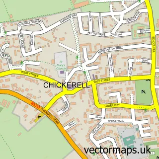
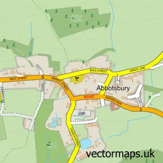
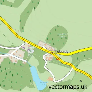
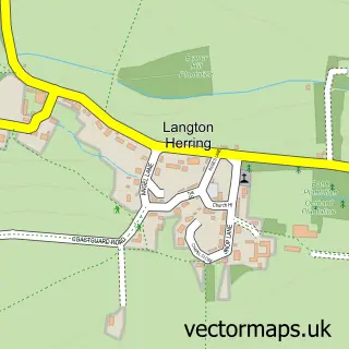
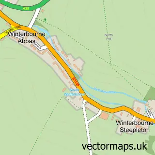
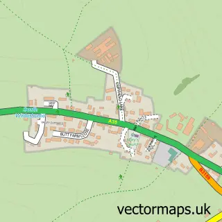
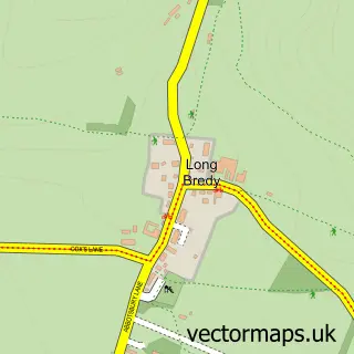
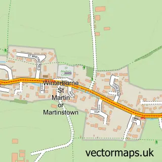
Nearby street map samples around Portesham

More street maps in Dorset
750 metre map area coverage
Boundary, postcode and point of interest information for the 750m x 750m rectangle centred on this sample map.
Boundaries containing map centre
Constituency: West Dorset Co Const
District: Dorset
Icb: NHS Dorset ICB
Parish: Portesham CP
Police Force: dorset
Postcode District: DT3
Postcode Sector: DT3 4
Ward: Chesil Bank Ward
Nearby boundaries intersecting sample
No additional intersecting boundaries found.
Postcode coverage
POI category counts
Anglican Church: 2
Post Office: 2
Animal Shelter: 1
Auto Parts And Supply Store: 1
Beach: 1
Cafe: 1
Campground: 1
Charity Organization: 1
Church Cathedral: 1
Community Center: 1
Sample points of interest
- Chesil Churches
- Portesham: St Peter
- Feral Cat Care
- Cartakeback
- Abbotsbury Beach
- Duck's Farm Shop and Cafe
- Portesham Dairy Farm Campsite
- Parkinsons Disease Society
- St Peters Church Portesham
- Portesham Village Hall
- Portesham Surgery
- Portesham Primary School
Create a larger editable map of Portesham
This sample shows only a 750 metre area. To create a larger map of Portesham, use our map builder to choose your own coverage area, add titles and download editable SVG, PDF and PNG files.
Create a custom map of Portesham