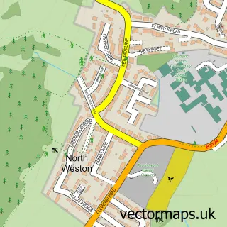
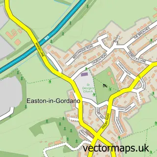
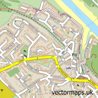
This Portishead street map is a detailed vector street map covering a 750m x 750m area. Select a larger area to create and download your own vector street map of Portishead.
The 750-metre map sample for Portishead covers 364 mapped buildings and approximately 18.2 km of road detail, of which 32 named roads are named. The immediate area includes 1 school, 1 GP surgery, with 2 within 2 miles, 10 pubs and 2 MOT stations, with 6 within 2 miles. The wider area around Portishead features 3 tourism points of interest, 17 food and drink venues and 4 hotels. To create a larger or custom map of Portishead, the map builder lets you define your own coverage area and download editable SVG, PDF and PNG files.
Create a larger editable map of Portishead
Choose any area you need and generate a high-quality vector map instantly. Perfect for print, planning, design, business and personal use.

This Portishead street map in Somerset is available as downloadable SVG, PDF and PNG map files, or as a printed map for planning, business, display, education, local information and design work. You can also create a larger custom map area using the map selector.
What this Portishead map sample shows
Portishead lies within Portishead Cp parish, part of Portishead North ward in the North Somerset local authority area. The postcode geography for this area includes the BS postcode area, the BS20 postcode district and the BS20 7 postcode sector. Residents fall under the Nhs Bristol, North Somerset And South Gloucestershire Integrated Care Board for NHS services.
Local features near Portishead
Within 2 milesAmenities and services in and around Portishead.
Administrative and postcode information for Portishead
Portishead lies within Portishead Cp parish, part of Portishead North ward in the North Somerset local authority area. The postcode geography for this area includes the BS postcode area, the BS20 postcode district and the BS20 7 postcode sector. Residents fall under the Nhs Bristol, North Somerset And South Gloucestershire Integrated Care Board for NHS services.
Nearby street map samples around Portishead

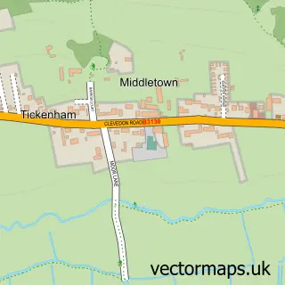
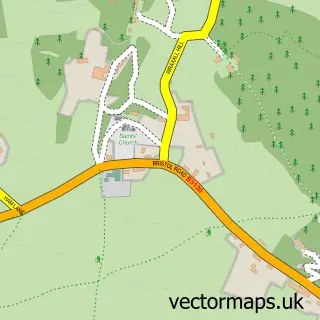
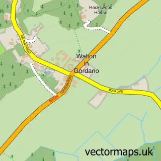
More street maps in Somerset
750 metre map area coverage
Boundary, postcode and point of interest information for the 750m x 750m rectangle centred on this sample map.
Boundaries containing map centre
Constituency: North Somerset Co Const
District: North Somerset
Icb: NHS Bristol North Somerset and South Gloucestershire ICB
Parish: Portishead CP
Police Force: avon and somerset
Postcode District: BS20
Postcode Sector: BS20 6
Ward: Portishead North Ward
Nearby boundaries intersecting sample
Postcode Sector: BS20 7
Ward: Portishead East Ward, Portishead South Ward, Portishead West Ward
Postcode coverage
POI category counts
Pub: 10
Real Estate Agent: 9
Hair Salon: 7
Clothing Store: 6
Gym: 6
Barber: 5
Building Supply Store: 5
Church Cathedral: 5
Pet Store: 5
Tattoo And Piercing: 5
Sample points of interest
- St Peter's Hospice
- Woods Sales And Letting Agents Portishead
- Lounge Art
- Tinca Gallery
- Stoned Hq Uk
- Waitrose Portishead (BFF)
- Portishead Nature Reserve
- Powerbutton
- C J Freeman & Co. Ltd.
- Freemans
- Quick Lane Tyre And Autocentre
- Pat's Paint Shop
Create a larger editable map of Portishead
This sample shows only a 750 metre area. To create a larger map of Portishead, use our map builder to choose your own coverage area, add titles and download editable SVG, PDF and PNG files.
Create a custom map of Portishead