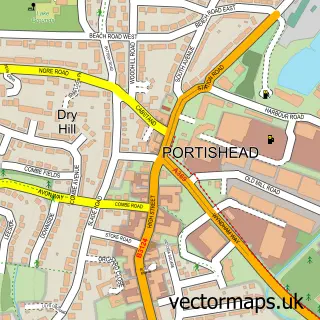
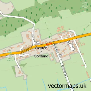
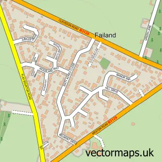
This Clapton in Gordano street map is a detailed vector street map covering a 750m x 750m area. Select a larger area to create and download your own vector street map of Clapton in Gordano.
The 750-metre map sample for Clapton in Gordano covers 117 mapped buildings and approximately 20.0 km of road detail, of which 6 named roads are named. The immediate area includes 2 GP surgeries within 2 miles, 2 pubs and 14 MOT stations within 2 miles. The wider area around Clapton in Gordano features 2 food and drink venues and 1 hotel. To create a larger or custom map of Clapton in Gordano, the map builder lets you define your own coverage area and download editable SVG, PDF and PNG files.
Create a larger editable map of Clapton in Gordano
Choose any area you need and generate a high-quality vector map instantly. Perfect for print, planning, design, business and personal use.

This Clapton in Gordano street map in Somerset is available as downloadable SVG, PDF and PNG map files, or as a printed map for planning, business, display, education, local information and design work. You can also create a larger custom map area using the map selector.
What this Clapton in Gordano map sample shows
Clapton in Gordano lies within Clapton-In-Gordano Cp parish, part of Gordano Valley ward in the North Somerset local authority area. The postcode geography for this area includes the BS postcode area, the BS20 postcode district and the BS20 7 postcode sector. Residents fall under the Nhs Bristol, North Somerset And South Gloucestershire Integrated Care Board for NHS services.
Local features near Clapton in Gordano
Within 2 milesAmenities and services in and around Clapton in Gordano.
Administrative and postcode information for Clapton in Gordano
The local authority covering Clapton in Gordano is North Somerset, within the county of Somerset. The settlement lies within Gordano Valley ward and Clapton-In-Gordano Cp civil parish. The BS20 postcode district and BS20 7 postcode sector serve the immediate area. NHS provision in the area is delivered through University Hospitals Bristol And Weston Nhs Foundation Trust.
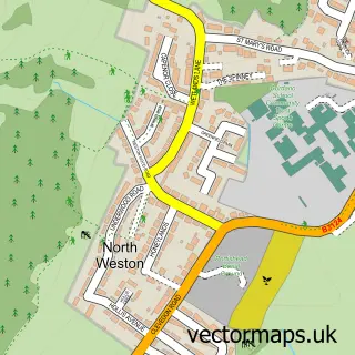
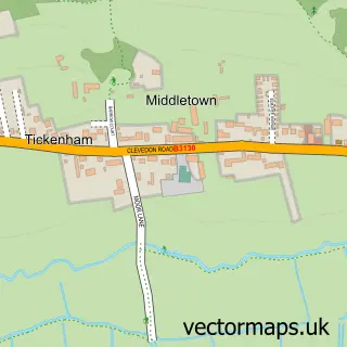
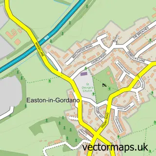
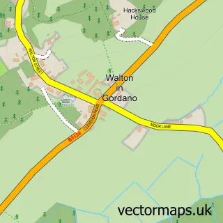
Nearby street map samples around Clapton in Gordano

More street maps in Somerset
750 metre map area coverage
Boundary, postcode and point of interest information for the 750m x 750m rectangle centred on this sample map.
Boundaries containing map centre
Constituency: North Somerset Co Const
District: North Somerset
Icb: NHS Bristol North Somerset and South Gloucestershire ICB
Parish: Clapton-in-Gordano CP
Police Force: avon and somerset
Postcode District: BS20
Postcode Sector: BS20 7
Ward: Gordano Valley Ward
Nearby boundaries intersecting sample
Parish: Portbury CP
Postcode coverage
POI category counts
Pub: 2
Education: 1
Equestrian Facility: 1
Hotel: 1
Land Surveying: 1
Laundry Services: 1
Naturopathic Holistic: 1
Psychic: 1
Sample points of interest
- Fiddle Lessons
- Sperrings Equestrian
- Sperrings Farm B&B
- Cook Brown Associates
- Ovenu North Somerset
- Bernie Morgan Clear Mind Therapy
- Charlotte Burroughs Holistic Therapies
- Badger's Den
- The Black Horse
Create a larger editable map of Clapton in Gordano
This sample shows only a 750 metre area. To create a larger map of Clapton in Gordano, use our map builder to choose your own coverage area, add titles and download editable SVG, PDF and PNG files.
Create a custom map of Clapton in Gordano