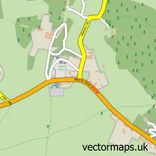
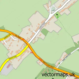
This Failand street map is a detailed vector street map covering a 750m x 750m area. Select a larger area to create and download your own vector street map of Failand.
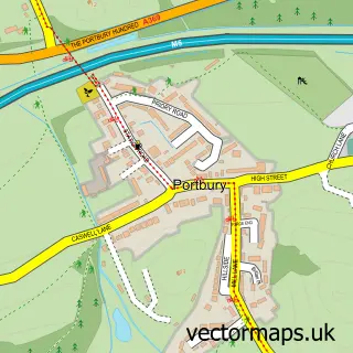
The 750-metre map sample for Failand covers 329 mapped buildings and approximately 10.8 km of road detail, of which 16 named roads are named. The immediate area includes 1 MOT station within 2 miles. To create a larger or custom map of Failand, the map builder lets you define your own coverage area and download editable SVG, PDF and PNG files.
Create a larger editable map of Failand
Choose any area you need and generate a high-quality vector map instantly. Perfect for print, planning, design, business and personal use.

This Failand street map in Somerset is available as downloadable SVG, PDF and PNG map files, or as a printed map for planning, business, display, education, local information and design work. You can also create a larger custom map area using the map selector.
What this Failand map sample shows
Failand lies within Long Ashton Cp parish, part of Long Ashton ward in the North Somerset local authority area. The postcode geography for this area includes the BS postcode area, the BS8 postcode district and the BS8 3 postcode sector. Residents fall under the Nhs Bristol, North Somerset And South Gloucestershire Integrated Care Board for NHS services.
Local features near Failand
Within 2 milesAmenities and services in and around Failand.
Administrative and postcode information for Failand
The local authority covering Failand is North Somerset, within the county of Somerset. The settlement lies within Long Ashton ward and Long Ashton Cp civil parish. The BS8 postcode district and BS8 3 postcode sector serve the immediate area. NHS provision in the area is delivered through University Hospitals Bristol And Weston Nhs Foundation Trust.
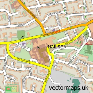
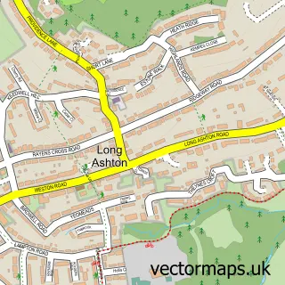
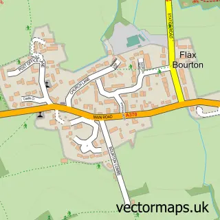
Nearby street map samples around Failand

More street maps in Somerset
750 metre map area coverage
Boundary, postcode and point of interest information for the 750m x 750m rectangle centred on this sample map.
Boundaries containing map centre
Constituency: North Somerset Co Const
District: North Somerset
Icb: NHS Bristol North Somerset and South Gloucestershire ICB
Parish: Wraxall and Failand CP
Police Force: avon and somerset
Postcode District: BS8
Postcode Sector: BS8 3
Ward: Long Ashton Ward
Nearby boundaries intersecting sample
Parish: Long Ashton CP
Postcode coverage
POI category counts
Veterinarian: 3
Beauty Salon: 2
Adult Education: 1
Advertising Agency: 1
Arts And Entertainment: 1
Beauty And Spa: 1
Contractor: 1
Event Photography: 1
Financial Advising: 1
Home Cleaning: 1
Sample points of interest
- Impact Training & Consultation
- Storm Creative
- Mantuan String Quartet
- Superdrug Clevedon
- The Beauty Shack Bristol
- The Brow Bar
- Cook T A
- Lisa Victoria Photography
- Richard J K Brown Wealth Management LLP
- Jmb Cleaning Services
- Neetrix Ltd.
- Contract Dispute Resolution
Create a larger editable map of Failand
This sample shows only a 750 metre area. To create a larger map of Failand, use our map builder to choose your own coverage area, add titles and download editable SVG, PDF and PNG files.
Create a custom map of Failand