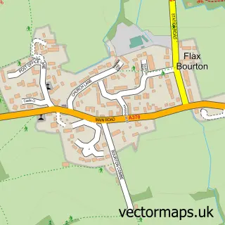
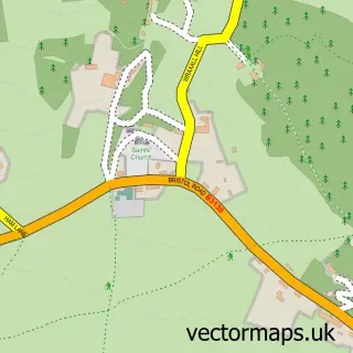
This Long Ashton street map is a detailed vector street map covering a 750m x 750m area. Select a larger area to create and download your own vector street map of Long Ashton.
The 750-metre map sample for Long Ashton covers 451 mapped buildings and approximately 14.3 km of road detail, of which 33 named roads are named. The immediate area includes 3 pubs and 8 MOT stations within 2 miles. The wider area around Long Ashton features 1 tourism point of interest and 4 food and drink venues. To create a larger or custom map of Long Ashton, the map builder lets you define your own coverage area and download editable SVG, PDF and PNG files.
Create a larger editable map of Long Ashton
Choose any area you need and generate a high-quality vector map instantly. Perfect for print, planning, design, business and personal use.

This Long Ashton street map in Somerset is available as downloadable SVG, PDF and PNG map files, or as a printed map for planning, business, display, education, local information and design work. You can also create a larger custom map area using the map selector.
What this Long Ashton map sample shows
Long Ashton lies within Long Ashton Cp parish, part of Long Ashton ward in the North Somerset local authority area. The postcode geography for this area includes the BS postcode area, the BS41 postcode district and the BS41 9 postcode sector. Residents fall under the Nhs Bristol, North Somerset And South Gloucestershire Integrated Care Board for NHS services.
Local features near Long Ashton
Within 2 milesAmenities and services in and around Long Ashton.
Administrative and postcode information for Long Ashton
Long Ashton lies within Long Ashton Cp parish, part of Long Ashton ward in the North Somerset local authority area. The postcode geography for this area includes the BS postcode area, the BS41 postcode district and the BS41 9 postcode sector. Residents fall under the Nhs Bristol, North Somerset And South Gloucestershire Integrated Care Board for NHS services.
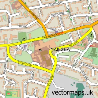
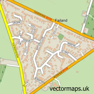
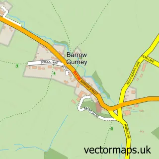
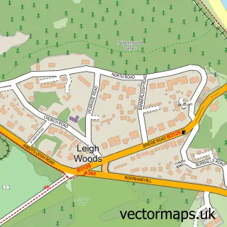
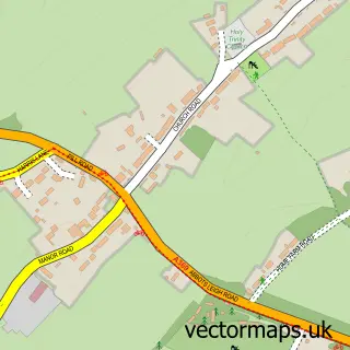
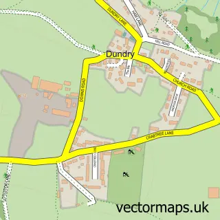
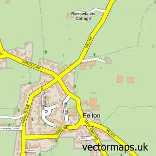
Nearby street map samples around Long Ashton

More street maps in Somerset
750 metre map area coverage
Boundary, postcode and point of interest information for the 750m x 750m rectangle centred on this sample map.
Boundaries containing map centre
Constituency: North Somerset Co Const
District: North Somerset
Icb: NHS Bristol North Somerset and South Gloucestershire ICB
Parish: Long Ashton CP
Police Force: avon and somerset
Postcode District: BS41
Postcode Sector: BS41 9
Ward: Long Ashton Ward
Nearby boundaries intersecting sample
No additional intersecting boundaries found.
Postcode coverage
POI category counts
Beauty Salon: 3
Business Management Services: 3
Massage Therapy: 3
Post Office: 3
Pub: 3
Doctor: 2
Driving School: 2
Fitness Trainer: 2
Hair Salon: 2
Pet Groomer: 2
Sample points of interest
- Jonathan Nichols Clifton Osteopathic & Sports Injury Clinic
- Keedwell Church
- The Cooperative Food Long Ashton (ERF), Long Ashton
- Pendragon Finance
- Fork-It
- Long Ashton Barbering Co
- Here On Up
- Elements Hair Company
- Jenni's Beauty Room Limited
- LG Brows
- Post Office-Long Ashton
- R Rowland Builders
Create a larger editable map of Long Ashton
This sample shows only a 750 metre area. To create a larger map of Long Ashton, use our map builder to choose your own coverage area, add titles and download editable SVG, PDF and PNG files.
Create a custom map of Long Ashton