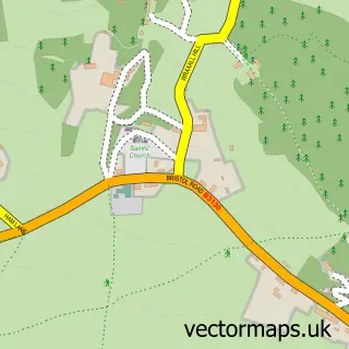
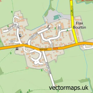
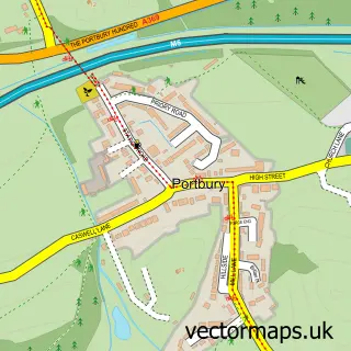
This Nailsea street map is a detailed vector street map covering a 750m x 750m area. Select a larger area to create and download your own vector street map of Nailsea.
The 750-metre map sample for Nailsea covers 375 mapped buildings and approximately 19.1 km of road detail, of which 42 named roads are named. The immediate area includes 1 GP surgery, 5 pubs and 1 MOT station, with 10 within 2 miles. The wider area around Nailsea features 17 food and drink venues. To create a larger or custom map of Nailsea, the map builder lets you define your own coverage area and download editable SVG, PDF and PNG files.
Create a larger editable map of Nailsea
Choose any area you need and generate a high-quality vector map instantly. Perfect for print, planning, design, business and personal use.

This Nailsea street map in Somerset is available as downloadable SVG, PDF and PNG map files, or as a printed map for planning, business, display, education, local information and design work. You can also create a larger custom map area using the map selector.
What this Nailsea map sample shows
Nailsea lies within Nailsea Cp parish, part of Nailsea West End ward in the North Somerset local authority area. The postcode geography for this area includes the BS postcode area, the BS48 postcode district and the BS48 2 postcode sector. Residents fall under the Nhs Bristol, North Somerset And South Gloucestershire Integrated Care Board for NHS services.
Local features near Nailsea
Within 2 milesAmenities and services in and around Nailsea.
Administrative and postcode information for Nailsea
The local authority covering Nailsea is North Somerset, within the county of Somerset. The settlement lies within Nailsea West End ward and Nailsea Cp civil parish. The BS48 postcode district and BS48 2 postcode sector serve the immediate area. NHS provision in the area is delivered through University Hospitals Bristol And Weston Nhs Foundation Trust.
Nearby street map samples around Nailsea

More street maps in Somerset
750 metre map area coverage
Boundary, postcode and point of interest information for the 750m x 750m rectangle centred on this sample map.
Boundaries containing map centre
Constituency: North Somerset Co Const
District: North Somerset
Icb: NHS Bristol North Somerset and South Gloucestershire ICB
Parish: Nailsea CP
Police Force: avon and somerset
Postcode District: BS48
Postcode Sector: BS48 1
Ward: Nailsea Yeo Ward
Nearby boundaries intersecting sample
Postcode Sector: BS48 2
Ward: Nailsea Golden Valley Ward, Nailsea Youngwood Ward
Postcode coverage
POI category counts
Beauty Salon: 12
Charity Organization: 8
Hair Salon: 7
Real Estate Agent: 7
Banks: 6
Barber: 6
Beauty And Spa: 5
Cafe: 5
Coffee Shop: 5
Doctor: 5
Sample points of interest
- A R Dury & Co
- Chime Accountants
- Doctor Beijing
- Samson Consulting
- Squarebird
- Tony Doyle Associates
- Beech Therapies
- Doctor Beijing
- Karen Bartley Mobile Holistic Therapist
- Nailsea Osteopathic Clinic
- Break
- Quality Collectables
Create a larger editable map of Nailsea
This sample shows only a 750 metre area. To create a larger map of Nailsea, use our map builder to choose your own coverage area, add titles and download editable SVG, PDF and PNG files.
Create a custom map of Nailsea