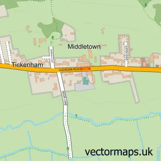
This Backwell street map is a detailed vector street map covering a 750m x 750m area. Select a larger area to create and download your own vector street map of Backwell.
The 750-metre map sample for Backwell covers 465 mapped buildings and approximately 14.3 km of road detail, of which 27 named roads are named. The immediate area includes 1 school, 1 GP surgery within 2 miles and 8 MOT stations within 2 miles. The wider area around Backwell features 4 food and drink venues. To create a larger or custom map of Backwell, the map builder lets you define your own coverage area and download editable SVG, PDF and PNG files.
Create a larger editable map of Backwell
Choose any area you need and generate a high-quality vector map instantly. Perfect for print, planning, design, business and personal use.

This Backwell street map in Somerset is available as downloadable SVG, PDF and PNG map files, or as a printed map for planning, business, display, education, local information and design work. You can also create a larger custom map area using the map selector.
What this Backwell map sample shows
Backwell lies within Backwell Cp parish, part of Backwell ward in the North Somerset local authority area. The postcode geography for this area includes the BS postcode area, the BS48 postcode district and the BS48 3 postcode sector. Residents fall under the Nhs Bristol, North Somerset And South Gloucestershire Integrated Care Board for NHS services.
Local features near Backwell
Within 2 milesAmenities and services in and around Backwell.
Administrative and postcode information for Backwell
The local authority covering Backwell is North Somerset, within the county of Somerset. The settlement lies within Backwell ward and Backwell Cp civil parish. The BS48 postcode district and BS48 3 postcode sector serve the immediate area. NHS provision in the area is delivered through University Hospitals Bristol And Weston Nhs Foundation Trust.
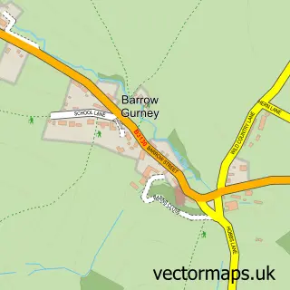
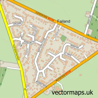
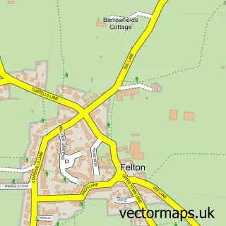
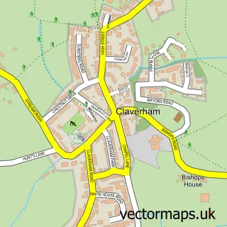
Nearby street map samples around Backwell

More street maps in Somerset
750 metre map area coverage
Boundary, postcode and point of interest information for the 750m x 750m rectangle centred on this sample map.
Boundaries containing map centre
Constituency: North Somerset Co Const
District: North Somerset
Icb: NHS Bristol North Somerset and South Gloucestershire ICB
Parish: Backwell CP
Police Force: avon and somerset
Postcode District: BS48
Postcode Sector: BS48 3
Ward: Backwell Ward
Nearby boundaries intersecting sample
No additional intersecting boundaries found.
Postcode coverage
POI category counts
Beauty Salon: 5
Convenience Store: 5
Accountant: 4
It Service And Computer Repair: 4
Coffee Shop: 3
Driving School: 3
Sports Club And League: 3
Barber: 2
Funeral Services And Cemeteries: 2
Hair Salon: 2
Sample points of interest
- Nanny Matters
- NannyMatters & The Pay Team
- Vincent Ventures Ltd.
- Vincent Ventures Ltd. Chartered Accountants
- BR Spar Backwell (ERF), Backwell
- PSDesigns
- Parsons Bakery
- Backwell Barbers
- Big Phil's Barbershop
- Daniel Francis
- The Naughty Egg
- Beauty By Appointment
Create a larger editable map of Backwell
This sample shows only a 750 metre area. To create a larger map of Backwell, use our map builder to choose your own coverage area, add titles and download editable SVG, PDF and PNG files.
Create a custom map of Backwell