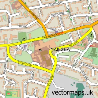
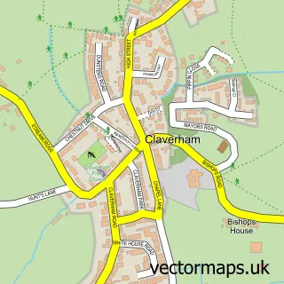
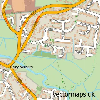
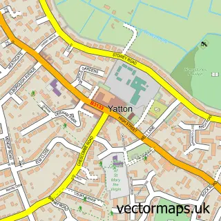
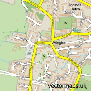
This Cleeve street map is a detailed vector street map covering a 750m x 750m area. Select a larger area to create and download your own vector street map of Cleeve.
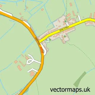
The 750-metre map sample for Cleeve covers 206 mapped buildings and approximately 11.1 km of road detail, of which 12 named roads are named. The immediate area includes 3 MOT stations within 2 miles. The wider area around Cleeve features 1 tourism point of interest and 1 food and drink venue. To create a larger or custom map of Cleeve, the map builder lets you define your own coverage area and download editable SVG, PDF and PNG files.
Create a larger editable map of Cleeve
Choose any area you need and generate a high-quality vector map instantly. Perfect for print, planning, design, business and personal use.

This Cleeve street map in Somerset is available as downloadable SVG, PDF and PNG map files, or as a printed map for planning, business, display, education, local information and design work. You can also create a larger custom map area using the map selector.
What this Cleeve map sample shows
Cleeve lies within Cleeve Cp parish, part of Wrington ward in the North Somerset local authority area. The postcode geography for this area includes the BS postcode area, the BS49 postcode district and the BS49 4 postcode sector. Residents fall under the Nhs Bristol, North Somerset And South Gloucestershire Integrated Care Board for NHS services.
Local features near Cleeve
Within 2 milesAmenities and services in and around Cleeve.
Administrative and postcode information for Cleeve
Cleeve lies within Cleeve Cp parish, part of Wrington ward in the North Somerset local authority area. The postcode geography for this area includes the BS postcode area, the BS49 postcode district and the BS49 4 postcode sector. Residents fall under the Nhs Bristol, North Somerset And South Gloucestershire Integrated Care Board for NHS services.
Nearby street map samples around Cleeve

More street maps in Somerset
750 metre map area coverage
Boundary, postcode and point of interest information for the 750m x 750m rectangle centred on this sample map.
Boundaries containing map centre
Constituency: North Somerset Co Const
District: North Somerset
Icb: NHS Bristol North Somerset and South Gloucestershire ICB
Parish: Cleeve CP
Police Force: avon and somerset
Postcode District: BS49
Postcode Sector: BS49 4
Ward: Wrington Ward
Nearby boundaries intersecting sample
No additional intersecting boundaries found.
Postcode coverage
POI category counts
Convenience Store: 3
Sports Club And League: 3
Arts And Crafts: 2
Beauty Salon: 2
Gas Station: 2
Italian Restaurant: 2
Post Office: 2
Anglican Church: 1
Auto Customization: 1
Charity Organization: 1
Sample points of interest
- Holy Trinity
- Alterknit Universe
- Art Equals Happy
- WOLF Developments
- Rach's Beauty Room
- Simon Michelle of Cleeve.
- Forest of Avon
- Sun Hall Take Away
- Church of Holy Trinity
- Budgens BUDGENS - CLEEVE
- Premier
- Premier Cleeve Stores
Create a larger editable map of Cleeve
This sample shows only a 750 metre area. To create a larger map of Cleeve, use our map builder to choose your own coverage area, add titles and download editable SVG, PDF and PNG files.
Create a custom map of Cleeve