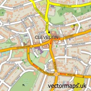
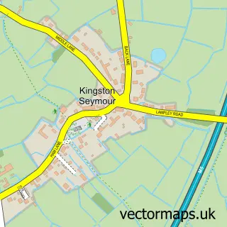
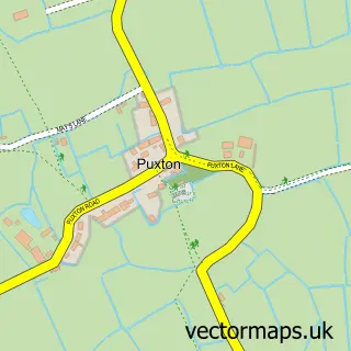
This Yatton street map is a detailed vector street map covering a 750m x 750m area. Select a larger area to create and download your own vector street map of Yatton.
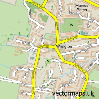
The 750-metre map sample for Yatton covers 451 mapped buildings and approximately 16.8 km of road detail, of which 35 named roads are named. The immediate area includes 2 schools, 2 pubs and 3 MOT stations within 2 miles. The wider area around Yatton features 1 tourism point of interest and 3 food and drink venues. To create a larger or custom map of Yatton, the map builder lets you define your own coverage area and download editable SVG, PDF and PNG files.
Create a larger editable map of Yatton
Choose any area you need and generate a high-quality vector map instantly. Perfect for print, planning, design, business and personal use.

This Yatton street map in Somerset is available as downloadable SVG, PDF and PNG map files, or as a printed map for planning, business, display, education, local information and design work. You can also create a larger custom map area using the map selector.
What this Yatton map sample shows
Yatton lies within Yatton Cp parish, part of Yatton ward in the North Somerset local authority area. The postcode geography for this area includes the BS postcode area, the BS49 postcode district and the BS49 4 postcode sector. Residents fall under the Nhs Bristol, North Somerset And South Gloucestershire Integrated Care Board for NHS services.
Local features near Yatton
Within 2 milesAmenities and services in and around Yatton.
Administrative and postcode information for Yatton
Yatton lies within Yatton Cp parish, part of Yatton ward in the North Somerset local authority area. The postcode geography for this area includes the BS postcode area, the BS49 postcode district and the BS49 4 postcode sector. Residents fall under the Nhs Bristol, North Somerset And South Gloucestershire Integrated Care Board for NHS services.
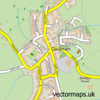
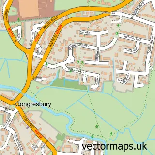
Nearby street map samples around Yatton

More street maps in Somerset
750 metre map area coverage
Boundary, postcode and point of interest information for the 750m x 750m rectangle centred on this sample map.
Boundaries containing map centre
Constituency: Wells and Mendip Hills Co Const
District: North Somerset
Icb: NHS Bristol North Somerset and South Gloucestershire ICB
Parish: Yatton CP
Police Force: avon and somerset
Postcode District: BS49
Postcode Sector: BS49 4
Ward: Yatton Ward
Nearby boundaries intersecting sample
No additional intersecting boundaries found.
Postcode coverage
POI category counts
Beauty Salon: 5
Bakery: 4
Doctor: 4
Bookstore: 3
Church Cathedral: 3
Fast Food Restaurant: 3
Hair Salon: 3
Skilled Nursing: 3
Veterinarian: 3
Banks: 2
Sample points of interest
- ASG Bookkeeping Services
- Ta-Da! Media
- The Blessed Virgin Mary
- RSPCA
- JLS Design Services
- Derham Court
- The Cooperative Food Yatton - ERF , Yatton
- Mr T G Pullins Bakery
- Parsons Bakery
- Parsons Bakery Yatton
- Pullins Bakery
- Lloyds Bank
Create a larger editable map of Yatton
This sample shows only a 750 metre area. To create a larger map of Yatton, use our map builder to choose your own coverage area, add titles and download editable SVG, PDF and PNG files.
Create a custom map of Yatton