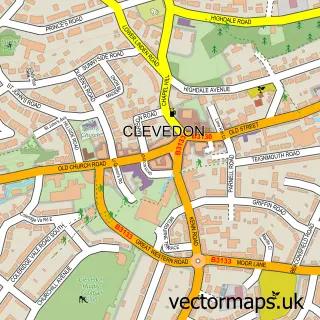
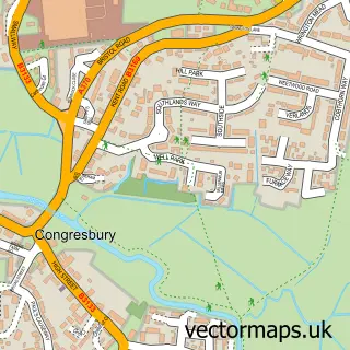
This Kenn street map is a detailed vector street map covering a 750m x 750m area. Select a larger area to create and download your own vector street map of Kenn.
The 750-metre map sample for Kenn covers 83 mapped buildings and approximately 4.9 km of road detail, of which 2 named roads are named. The immediate area includes 1 GP surgery within 2 miles and 1 MOT station, with 10 within 2 miles. The wider area around Kenn features 1 campsite within 2 miles. To create a larger or custom map of Kenn, the map builder lets you define your own coverage area and download editable SVG, PDF and PNG files.
Create a larger editable map of Kenn
Choose any area you need and generate a high-quality vector map instantly. Perfect for print, planning, design, business and personal use.

This Kenn street map in Somerset is available as downloadable SVG, PDF and PNG map files, or as a printed map for planning, business, display, education, local information and design work. You can also create a larger custom map area using the map selector.
What this Kenn map sample shows
Kenn lies within Kenn Cp parish, part of Yatton ward in the North Somerset local authority area. The postcode geography for this area includes the BS postcode area, the BS21 postcode district and the BS21 6 postcode sector. Residents fall under the Nhs Bristol, North Somerset And South Gloucestershire Integrated Care Board for NHS services.
Local features near Kenn
Within 2 milesAmenities and services in and around Kenn.
Administrative and postcode information for Kenn
Kenn lies within Kenn Cp parish, part of Yatton ward in the North Somerset local authority area. The postcode geography for this area includes the BS postcode area, the BS21 postcode district and the BS21 6 postcode sector. Residents fall under the Nhs Bristol, North Somerset And South Gloucestershire Integrated Care Board for NHS services.
Nearby street map samples around Kenn

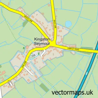
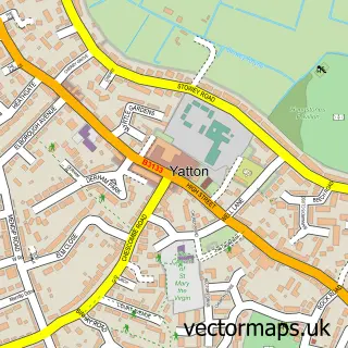
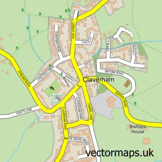
More street maps in Somerset
750 metre map area coverage
Boundary, postcode and point of interest information for the 750m x 750m rectangle centred on this sample map.
Boundaries containing map centre
Constituency: Wells and Mendip Hills Co Const
District: North Somerset
Icb: NHS Bristol North Somerset and South Gloucestershire ICB
Parish: Kenn CP
Police Force: avon and somerset
Postcode District: BS21
Postcode Sector: BS21 6
Ward: Yatton Ward
Nearby boundaries intersecting sample
No additional intersecting boundaries found.
Postcode coverage
POI category counts
Automotive Repair: 4
Church Cathedral: 3
Motorsport Vehicle Dealer: 2
Automotive Services And Repair: 1
Building Contractor: 1
Carpenter: 1
Community Center: 1
Dance School: 1
Electrical Wholesaler: 1
Sample points of interest
- Bristol Classic & Sports Cars
- Coola Classics Vehicle restoration Limited
- D B Autocare Motor Mechanics
- Kenn motor services
- Lee’s Autocentre
- Summerell Cleaning Machinery
- Hayden Garden Rooms
- Church of St Mary and St Edward, Barrow Gurney
- St John the Evangelist
- St Johns Church
- Kenn Village Hall
- Abanico Salsa
Create a larger editable map of Kenn
This sample shows only a 750 metre area. To create a larger map of Kenn, use our map builder to choose your own coverage area, add titles and download editable SVG, PDF and PNG files.
Create a custom map of Kenn