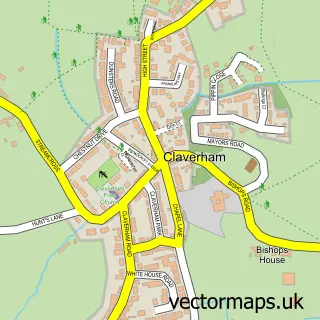
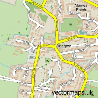
This Congresbury street map is a detailed vector street map covering a 750m x 750m area. Select a larger area to create and download your own vector street map of Congresbury.
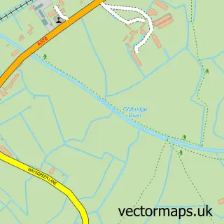
The 750-metre map sample for Congresbury covers 399 mapped buildings and approximately 13.1 km of road detail, of which 27 named roads are named. The immediate area includes 3 pubs and 3 MOT stations within 2 miles. The wider area around Congresbury features 1 tourism point of interest and 6 food and drink venues. To create a larger or custom map of Congresbury, the map builder lets you define your own coverage area and download editable SVG, PDF and PNG files.
Create a larger editable map of Congresbury
Choose any area you need and generate a high-quality vector map instantly. Perfect for print, planning, design, business and personal use.

This Congresbury street map in Somerset is available as downloadable SVG, PDF and PNG map files, or as a printed map for planning, business, display, education, local information and design work. You can also create a larger custom map area using the map selector.
What this Congresbury map sample shows
Congresbury lies within Congresbury Cp parish, part of Congresbury & Puxton ward in the North Somerset local authority area. The postcode geography for this area includes the BS postcode area, the BS49 postcode district and the BS49 5 postcode sector. Residents fall under the Nhs Bristol, North Somerset And South Gloucestershire Integrated Care Board for NHS services.
Local features near Congresbury
Within 2 milesAmenities and services in and around Congresbury.
Administrative and postcode information for Congresbury
Congresbury lies within Congresbury Cp parish, part of Congresbury & Puxton ward in the North Somerset local authority area. The postcode geography for this area includes the BS postcode area, the BS49 postcode district and the BS49 5 postcode sector. Residents fall under the Nhs Bristol, North Somerset And South Gloucestershire Integrated Care Board for NHS services.
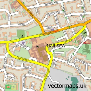
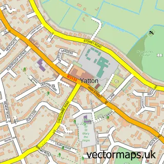
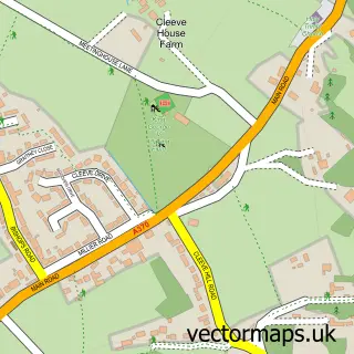
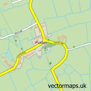
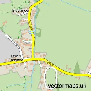
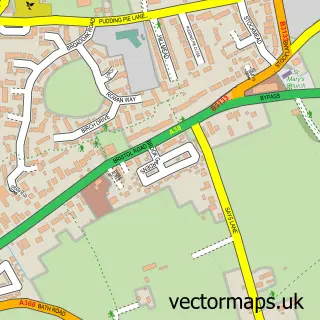
Nearby street map samples around Congresbury

More street maps in Somerset
750 metre map area coverage
Boundary, postcode and point of interest information for the 750m x 750m rectangle centred on this sample map.
Boundaries containing map centre
Constituency: Wells and Mendip Hills Co Const
District: North Somerset
Icb: NHS Bristol North Somerset and South Gloucestershire ICB
Parish: Congresbury CP
Police Force: avon and somerset
Postcode District: BS49
Postcode Sector: BS49 5
Ward: Congresbury & Puxton Ward
Nearby boundaries intersecting sample
No additional intersecting boundaries found.
Postcode coverage
POI category counts
Contractor: 5
Hair Salon: 4
Pub: 3
Architectural Designer: 2
Barber: 2
Cafe: 2
Forestry Service: 2
Gastropub: 2
Outdoor Gear: 2
Pet Groomer: 2
Sample points of interest
- B V Books
- Urchinwood Manor Equitation Centre
- Business Ecards UK
- Maidenhead Aquatics
- AMZAK Architectural Design
- AMZAK Architectural Design
- Church House Designs
- R & P Access
- The Logoworks
- Rowan Tree Bakery
- Broad St. Weddings
- Fabs Barbers
Create a larger editable map of Congresbury
This sample shows only a 750 metre area. To create a larger map of Congresbury, use our map builder to choose your own coverage area, add titles and download editable SVG, PDF and PNG files.
Create a custom map of Congresbury