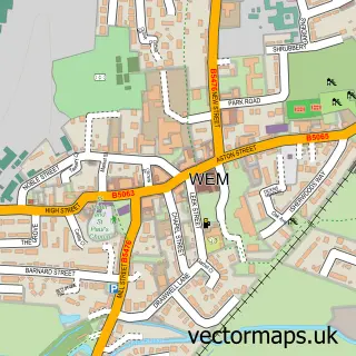
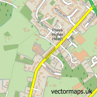
This Prees street map is a detailed vector street map covering a 750m x 750m area. Select a larger area to create and download your own vector street map of Prees.
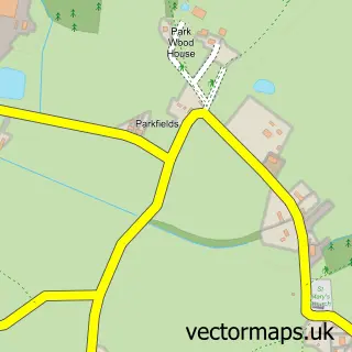
The 750-metre map sample for Prees covers 206 mapped buildings and approximately 12.4 km of road detail, of which 9 named roads are named. The immediate area includes 1 MOT station, with 3 within 2 miles. To create a larger or custom map of Prees, the map builder lets you define your own coverage area and download editable SVG, PDF and PNG files.
Create a larger editable map of Prees
Choose any area you need and generate a high-quality vector map instantly. Perfect for print, planning, design, business and personal use.

This Prees street map in Shropshire is available as downloadable SVG, PDF and PNG map files, or as a printed map for planning, business, display, education, local information and design work. You can also create a larger custom map area using the map selector.
What this Prees map sample shows
Prees lies within Prees Cp parish, part of Prees ward in the Shropshire local authority area. The postcode geography for this area includes the SY postcode area, the SY13 postcode district and the SY13 2 postcode sector. Residents fall under the Nhs Shropshire, Telford And Wrekin Integrated Care Board for NHS services.
Local features near Prees
Within 2 milesAmenities and services in and around Prees.
Administrative and postcode information for Prees
Prees lies within Prees Cp parish, part of Prees ward in the Shropshire local authority area. The postcode geography for this area includes the SY postcode area, the SY13 postcode district and the SY13 2 postcode sector. Residents fall under the Nhs Shropshire, Telford And Wrekin Integrated Care Board for NHS services.
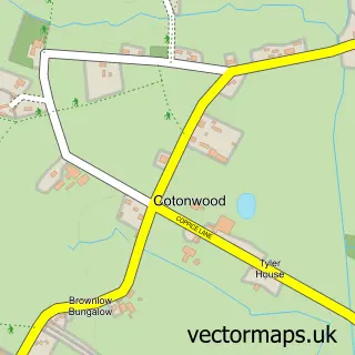
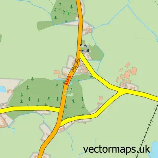
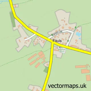
Nearby street map samples around Prees

More street maps in Shropshire
750 metre map area coverage
Boundary, postcode and point of interest information for the 750m x 750m rectangle centred on this sample map.
Boundaries containing map centre
Constituency: North Shropshire Co Const
District: Shropshire
Icb: NHS Shropshire Telford and Wrekin ICB
Parish: Prees CP
Police Force: west mercia
Postcode District: SY13
Postcode Sector: SY13 2
Nearby boundaries intersecting sample
No additional intersecting boundaries found.
Postcode coverage
POI category counts
Building Supply Store: 2
Art Museum: 1
Automotive Repair: 1
Bar: 1
Beauty Salon: 1
Betting Center: 1
Car Sharing: 1
Car Window Tinting: 1
Church Cathedral: 1
Community Center: 1
Sample points of interest
- Selective Prints
- Prees Auto Services
- Leisure Services
- The Butterfly Beauty Bar
- Betfred
- Busy Boys Carpentry
- Tint & Audio Mobile
- Fourways Vehicle Solutions Ltd.
- Tint and Audio Specialist
- Prees URC Church
- Prees Village Hall
- Premier
Create a larger editable map of Prees
This sample shows only a 750 metre area. To create a larger map of Prees, use our map builder to choose your own coverage area, add titles and download editable SVG, PDF and PNG files.
Create a custom map of Prees