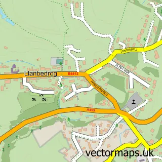
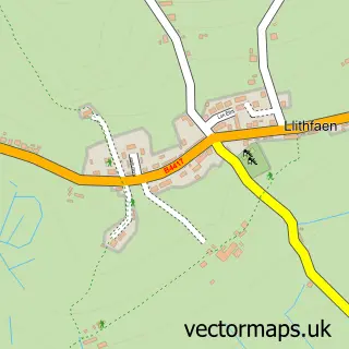
This Pwllheli street map is a detailed vector street map covering a 750m x 750m area. Select a larger area to create and download your own vector street map of Pwllheli.
The 750-metre map sample for Pwllheli covers 225 mapped buildings and approximately 15.6 km of road detail, of which 30 named roads are named. The immediate area includes 1 railway station, 8 pubs and 2 MOT stations within 2 miles. The wider area around Pwllheli features 4 tourism points of interest, 21 food and drink venues and 7 hotels. To create a larger or custom map of Pwllheli, the map builder lets you define your own coverage area and download editable SVG, PDF and PNG files.
Create a larger editable map of Pwllheli
Choose any area you need and generate a high-quality vector map instantly. Perfect for print, planning, design, business and personal use.

This Pwllheli street map in Gwynedd is available as downloadable SVG, PDF and PNG map files, or as a printed map for planning, business, display, education, local information and design work. You can also create a larger custom map area using the map selector.
What this Pwllheli map sample shows
Pwllheli lies within Pwllheli Community parish, part of Pwllheli North ward in the Gwynedd - Gwynedd local authority area. The postcode geography for this area includes the LL postcode area, the LL53 postcode district and the LL53 5 postcode sector. Residents fall under the Betsi Cadwaladr University Health Board for NHS services.
Local features near Pwllheli
Within 2 milesAmenities and services in and around Pwllheli.
Administrative and postcode information for Pwllheli
Pwllheli lies within Pwllheli Community parish, part of Pwllheli North ward in the Gwynedd - Gwynedd local authority area. The postcode geography for this area includes the LL postcode area, the LL53 postcode district and the LL53 5 postcode sector. Residents fall under the Betsi Cadwaladr University Health Board for NHS services.
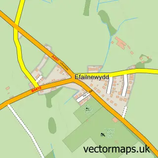
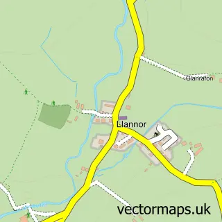
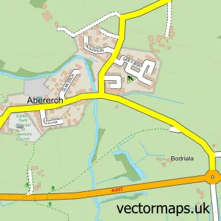
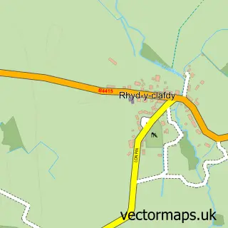
Nearby street map samples around Pwllheli

More street maps in Gwynedd
750 metre map area coverage
Boundary, postcode and point of interest information for the 750m x 750m rectangle centred on this sample map.
Boundaries containing map centre
Constituency: Dwyfor Meirionnydd Co Const
District: Gwynedd - Gwynedd
Icb: Betsi Cadwaladr University
Parish: Pwllheli Community
Police Force: north wales
Postcode District: LL53
Postcode Sector: LL53 5
Nearby boundaries intersecting sample
No additional intersecting boundaries found.
Postcode coverage
POI category counts
Beauty Salon: 11
Cafe: 8
Flowers And Gifts Shop: 8
Pub: 8
Hotel: 7
Clothing Store: 6
Hair Salon: 6
Professional Services: 6
Bank Credit Union: 5
Church Cathedral: 5
Sample points of interest
- Bacstal
- Griffith, Williams and Co.
- Gwyn Thomas & Co
- Pen Llyn Equestrian Tack Shed
- m:art
- Pwllheli ambulance station
- Harveys New York Bar & Grill
- Funland
- Hamdden Pwllheli Leisure
- Pwllheli Amusements
- Abersoch Antiques
- Beal's Antiques and Collectables
Create a larger editable map of Pwllheli
This sample shows only a 750 metre area. To create a larger map of Pwllheli, use our map builder to choose your own coverage area, add titles and download editable SVG, PDF and PNG files.
Create a custom map of Pwllheli