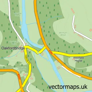
This Rackenford street map is a detailed vector street map covering a 750m x 750m area. Select a larger area to create and download your own vector street map of Rackenford.
The 750-metre map sample for Rackenford covers 90 mapped buildings and approximately 7.0 km of road detail, of which 4 named roads are named. The immediate area includes 1 school and 1 pub. The wider area around Rackenford features 1 food and drink venue and 1 campsite within 2 miles. To create a larger or custom map of Rackenford, the map builder lets you define your own coverage area and download editable SVG, PDF and PNG files.
Create a larger editable map of Rackenford
Choose any area you need and generate a high-quality vector map instantly. Perfect for print, planning, design, business and personal use.

This Rackenford street map in Devon is available as downloadable SVG, PDF and PNG map files, or as a printed map for planning, business, display, education, local information and design work. You can also create a larger custom map area using the map selector.
What this Rackenford map sample shows
Rackenford lies within Rackenford Cp parish, part of Witheridge ward in the North Devon District local authority area. The postcode geography for this area includes the EX postcode area, the EX16 postcode district and the EX16 8 postcode sector. Residents fall under the Nhs Devon Integrated Care Board for NHS services.
Local features near Rackenford
Within 2 milesAmenities and services in and around Rackenford.
Administrative and postcode information for Rackenford
Rackenford lies within Rackenford Cp parish, part of Witheridge ward in the North Devon District local authority area. The postcode geography for this area includes the EX postcode area, the EX16 postcode district and the EX16 8 postcode sector. Residents fall under the Nhs Devon Integrated Care Board for NHS services.
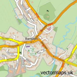
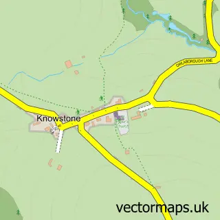
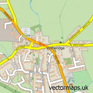
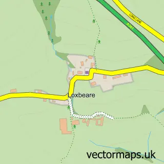
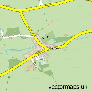
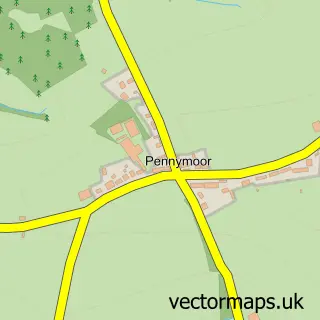
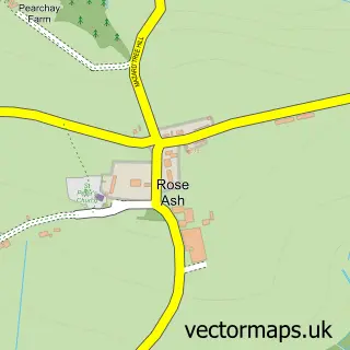
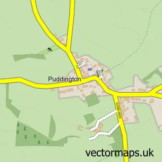
Nearby street map samples around Rackenford

More street maps in Devon
750 metre map area coverage
Boundary, postcode and point of interest information for the 750m x 750m rectangle centred on this sample map.
Boundaries containing map centre
Constituency: North Devon Co Const
County: Devon County
District: North Devon District
Icb: NHS Devon ICB
Parish: Rackenford CP
Police Force: devon and cornwall
Postcode District: EX16
Postcode Sector: EX16 8
Ward: Witheridge Ward
Nearby boundaries intersecting sample
No additional intersecting boundaries found.
Postcode coverage
POI category counts
Anglican Church: 1
Automotive Repair: 1
Elementary School: 1
Farm: 1
Financial Service: 1
Home Service: 1
Post Office: 1
Pub: 1
Sample points of interest
- All Saints
- Mike Ackland Motors
- Rackenford Church of England Primary School
- West Nutcott Farm
- Ellam Walker
- Little Angels Daycare
- Rackenford Post Office
- The Stag Inn
Create a larger editable map of Rackenford
This sample shows only a 750 metre area. To create a larger map of Rackenford, use our map builder to choose your own coverage area, add titles and download editable SVG, PDF and PNG files.
Create a custom map of Rackenford