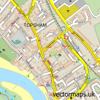
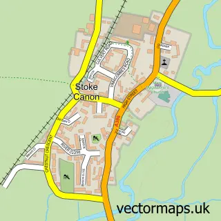
This Exeter street map is a detailed vector street map covering a 750m x 750m area. Select a larger area to create and download your own vector street map of Exeter.
The 750-metre map sample for Exeter covers 189 mapped buildings and approximately 21.8 km of road detail, of which 51 named roads are named. The immediate area includes 2 schools, 3 GP surgeries, with 14 within 2 miles, 19 pubs and 1 MOT station, with 33 within 2 miles. The wider area around Exeter features 17 tourism points of interest, 70 food and drink venues and 7 hotels. To create a larger or custom map of Exeter, the map builder lets you define your own coverage area and download editable SVG, PDF and PNG files.
Create a larger editable map of Exeter
Choose any area you need and generate a high-quality vector map instantly. Perfect for print, planning, design, business and personal use.

This Exeter street map in Devon is available as downloadable SVG, PDF and PNG map files, or as a printed map for planning, business, display, education, local information and design work. You can also create a larger custom map area using the map selector.
What this Exeter map sample shows
Exeter lies within Devon County parish, part of Mincinglake And Whipton ward in the Exeter District (B) local authority area. The postcode geography for this area includes the EX postcode area, the EX4 postcode district and the EX4 8 postcode sector. Residents fall under the Nhs Devon Integrated Care Board for NHS services.
Local features near Exeter
Within 2 milesAmenities and services in and around Exeter.
Administrative and postcode information for Exeter
Exeter lies within Devon County parish, part of Mincinglake And Whipton ward in the Exeter District (B) local authority area. The postcode geography for this area includes the EX postcode area, the EX4 postcode district and the EX4 8 postcode sector. Residents fall under the Nhs Devon Integrated Care Board for NHS services.
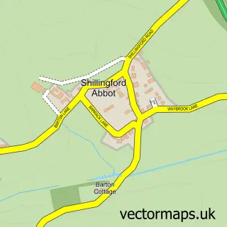
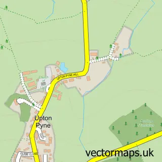
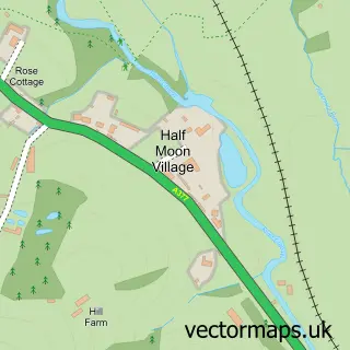
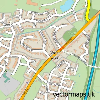
Nearby street map samples around Exeter
More street maps in Devon
750 metre map area coverage
Boundary, postcode and point of interest information for the 750m x 750m rectangle centred on this sample map.
Boundaries containing map centre
Constituency: Exeter Boro Const
County: Devon County
District: Exeter District (B)
Icb: NHS Devon ICB
Police Force: devon and cornwall
Postcode District: EX4
Postcode Sector: EX4 6
Ward: Duryard & St. James Ward
Nearby boundaries intersecting sample
Postcode District: EX1
Postcode Sector: EX1 1, EX1 2, EX4 3, EX4 4
Ward: Newtown & St. Leonard's Ward, St. David's Ward
Postcode coverage
POI category counts
Clothing Store: 58
Real Estate Agent: 37
Employment Agencies: 29
Jewelry Store: 26
Counseling And Mental Health: 24
Hair Salon: 21
Professional Services: 21
Restaurant: 20
Beauty Salon: 19
Cafe: 19
Sample points of interest
- Isca Lofts
- Trinity Apartments
- Bick Accountants Limited
- Bush & Co.
- Darnells
- Ernst & Young
- Finance Department
- Handpicked Accountants
- Kirk Hills Chartered Accountants
- Love Accountancy
- Merlin Accountancy Services
- No Accounting 4 You
Create a larger editable map of Exeter
This sample shows only a 750 metre area. To create a larger map of Exeter, use our map builder to choose your own coverage area, add titles and download editable SVG, PDF and PNG files.
Create a custom map of Exeter