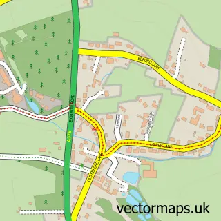
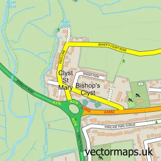
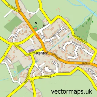
This Topsham street map is a detailed vector street map covering a 750m x 750m area. Select a larger area to create and download your own vector street map of Topsham.
The 750-metre map sample for Topsham covers 419 mapped buildings and approximately 16.9 km of road detail, of which 41 named roads are named. The immediate area includes 1 school, 1 railway station, 1 GP surgery, with 2 within 2 miles and 4 pubs among other local services. The wider area around Topsham features 3 tourism points of interest, 12 food and drink venues and 6 hotels. To create a larger or custom map of Topsham, the map builder lets you define your own coverage area and download editable SVG, PDF and PNG files.
Create a larger editable map of Topsham
Choose any area you need and generate a high-quality vector map instantly. Perfect for print, planning, design, business and personal use.

This Topsham street map in Devon is available as downloadable SVG, PDF and PNG map files, or as a printed map for planning, business, display, education, local information and design work. You can also create a larger custom map area using the map selector.
What this Topsham map sample shows
Topsham lies within Devon County parish, part of Topsham ward in the Exeter District (B) local authority area. The postcode geography for this area includes the EX postcode area, the EX3 postcode district and the EX3 0 postcode sector. Residents fall under the Nhs Devon Integrated Care Board for NHS services.
Local features near Topsham
Within 2 milesAmenities and services in and around Topsham.
Administrative and postcode information for Topsham
The local authority covering Topsham is Exeter District (B), within the county of Devon. The settlement lies within Topsham ward and Devon County civil parish. The EX3 postcode district and EX3 0 postcode sector serve the immediate area. NHS provision in the area is delivered through Royal Devon University Healthcare Nhs Foundation Trust.
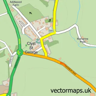
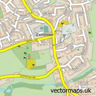
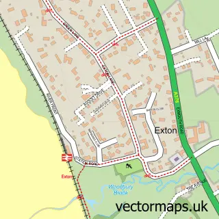
Nearby street map samples around Topsham

More street maps in Devon
750 metre map area coverage
Boundary, postcode and point of interest information for the 750m x 750m rectangle centred on this sample map.
Boundaries containing map centre
Constituency: Exmouth and Exeter East Co Const
County: Devon County
District: Exeter District (B)
Icb: NHS Devon ICB
Police Force: devon and cornwall
Postcode District: EX3
Postcode Sector: EX3 0
Ward: Topsham Ward
Nearby boundaries intersecting sample
Constituency: Central Devon Co Const
District: Teignbridge District
Parish: Exminster CP
Postcode District: EX6
Postcode Sector: EX6 8
Ward: Kenn Valley Ward
Postcode coverage
POI category counts
Cafe: 6
Hotel: 6
Flowers And Gifts Shop: 5
Pet Store: 5
Real Estate Agent: 5
Clothing Store: 4
Doctor: 4
Hair Salon: 4
Pub: 4
Antique Store: 3
Sample points of interest
- Topsham Adventure Centre
- Estuary Acupuncture & Osteopath Clinic
- Exeter Acupuncture & Osteopaths
- Masscommunication
- St Margaret's Church, Topsham
- Estuary League of Friends
- Mere Antiques
- The Ugly Duckling London
- Fulfords
- Notice-it
- Fleming & Sell
- 16a Architecture Ltd
Create a larger editable map of Topsham
This sample shows only a 750 metre area. To create a larger map of Topsham, use our map builder to choose your own coverage area, add titles and download editable SVG, PDF and PNG files.
Create a custom map of Topsham