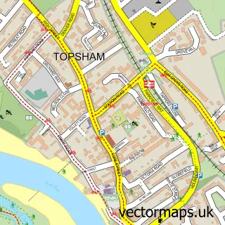
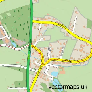
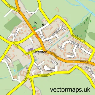
This Exminster street map is a detailed vector street map covering a 750m x 750m area. Select a larger area to create and download your own vector street map of Exminster.
The 750-metre map sample for Exminster covers 488 mapped buildings and approximately 15.4 km of road detail, of which 30 named roads are named. The immediate area includes 2 schools, 1 GP surgery, with 2 within 2 miles and 1 MOT station, with 11 within 2 miles. The wider area around Exminster features 2 tourism points of interest and 1 hotel. To create a larger or custom map of Exminster, the map builder lets you define your own coverage area and download editable SVG, PDF and PNG files.
Create a larger editable map of Exminster
Choose any area you need and generate a high-quality vector map instantly. Perfect for print, planning, design, business and personal use.

This Exminster street map in Devon is available as downloadable SVG, PDF and PNG map files, or as a printed map for planning, business, display, education, local information and design work. You can also create a larger custom map area using the map selector.
What this Exminster map sample shows
Exminster lies within Exminster Cp parish, part of Kenn Valley ward in the Teignbridge District local authority area. The postcode geography for this area includes the EX postcode area, the EX6 postcode district and the EX6 8 postcode sector. Residents fall under the Nhs Devon Integrated Care Board for NHS services.
Local features near Exminster
Within 2 milesAmenities and services in and around Exminster.
Administrative and postcode information for Exminster
Exminster lies within Exminster Cp parish, part of Kenn Valley ward in the Teignbridge District local authority area. The postcode geography for this area includes the EX postcode area, the EX6 postcode district and the EX6 8 postcode sector. Residents fall under the Nhs Devon Integrated Care Board for NHS services.
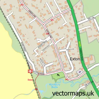
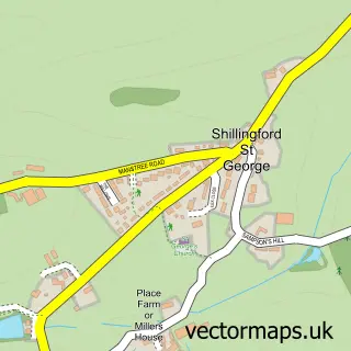
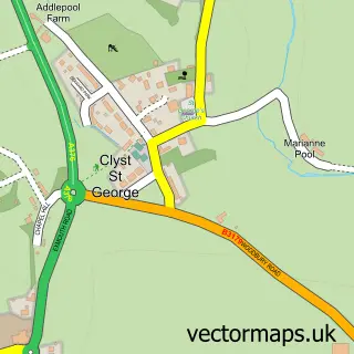
Nearby street map samples around Exminster

More street maps in Devon
750 metre map area coverage
Boundary, postcode and point of interest information for the 750m x 750m rectangle centred on this sample map.
Boundaries containing map centre
Constituency: Central Devon Co Const
County: Devon County
District: Teignbridge District
Icb: NHS Devon ICB
Parish: Exminster CP
Police Force: devon and cornwall
Postcode District: EX6
Postcode Sector: EX6 8
Ward: Kenn Valley Ward
Nearby boundaries intersecting sample
No additional intersecting boundaries found.
Postcode coverage
POI category counts
Real Estate Agent: 4
Church Cathedral: 2
Community Center: 2
Doctor: 2
Electrician: 2
Park: 2
Anglican Church: 1
Assisted Living Facility: 1
Automotive: 1
Automotive Repair: 1
Sample points of interest
- Exminster St. Martin's
- The Manor
- Berrybrook Motors Ltd.
- Exminster Garage
- The Ginger Cat Deli
- The Self-Care Clinic
- L a Price Building Services
- Berrybrook Morgan
- The Deepway Centre
- Chiropractic Matters
- Connect Exminster, St. Martins
- St Martin's of Tours Church
Create a larger editable map of Exminster
This sample shows only a 750 metre area. To create a larger map of Exminster, use our map builder to choose your own coverage area, add titles and download editable SVG, PDF and PNG files.
Create a custom map of Exminster