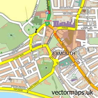
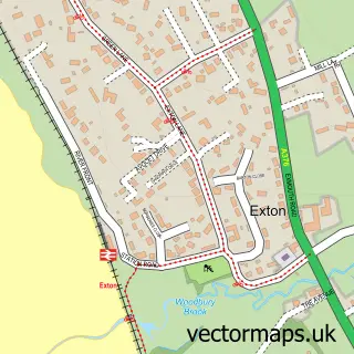
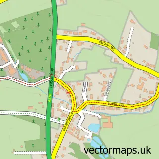
This Kenton street map is a detailed vector street map covering a 750m x 750m area. Select a larger area to create and download your own vector street map of Kenton.
The 750-metre map sample for Kenton covers 260 mapped buildings and approximately 23.9 km of road detail, of which 25 named roads are named. The immediate area includes 1 school, 1 pub and 1 MOT station within 2 miles. The wider area around Kenton features 6 food and drink venues and 2 campsites within 2 miles. To create a larger or custom map of Kenton, the map builder lets you define your own coverage area and download editable SVG, PDF and PNG files.
Create a larger editable map of Kenton
Choose any area you need and generate a high-quality vector map instantly. Perfect for print, planning, design, business and personal use.

This Kenton street map in Devon is available as downloadable SVG, PDF and PNG map files, or as a printed map for planning, business, display, education, local information and design work. You can also create a larger custom map area using the map selector.
What this Kenton map sample shows
Kenton lies within Kenton Cp parish, part of Kenton & Starcross ward in the Teignbridge District local authority area. The postcode geography for this area includes the EX postcode area, the EX6 postcode district and the EX6 8 postcode sector. Residents fall under the Nhs Devon Integrated Care Board for NHS services.
Local features near Kenton
Within 2 milesAmenities and services in and around Kenton.
Administrative and postcode information for Kenton
Kenton lies within Kenton Cp parish, part of Kenton & Starcross ward in the Teignbridge District local authority area. The postcode geography for this area includes the EX postcode area, the EX6 postcode district and the EX6 8 postcode sector. Residents fall under the Nhs Devon Integrated Care Board for NHS services.
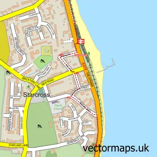
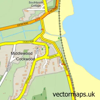
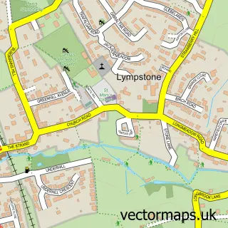
Nearby street map samples around Kenton

More street maps in Devon
750 metre map area coverage
Boundary, postcode and point of interest information for the 750m x 750m rectangle centred on this sample map.
Boundaries containing map centre
Constituency: Newton Abbot Co Const
County: Devon County
District: Teignbridge District
Icb: NHS Devon ICB
Parish: Kenton CP
Police Force: devon and cornwall
Postcode District: EX6
Postcode Sector: EX6 8
Ward: Kenton & Starcross Ward
Nearby boundaries intersecting sample
Constituency: Central Devon Co Const
Parish: Powderham CP
Ward: Kenn Valley Ward
Postcode coverage
POI category counts
Restaurant: 3
Alternative Medicine: 2
Beauty Salon: 2
Bed And Breakfast: 2
Accommodation: 1
Arts And Entertainment: 1
Bar: 1
Building Contractor: 1
Business Management Services: 1
Cafe: 1
Sample points of interest
- Lavender Blue Cottages
- Mind Body Balance
- Nerve And Pain Release Centre
- Matt Harvey Art
- Gert Lush Event Bars
- Meraki Hair By Karla Newbury
- Ragamuffins
- Old Vicarage Bed and Breakfast
- The Old Vicarage
- Taylor Property Maintenance
- Mouseworx
- Little Adventures Play Cafe Devon
Create a larger editable map of Kenton
This sample shows only a 750 metre area. To create a larger map of Kenton, use our map builder to choose your own coverage area, add titles and download editable SVG, PDF and PNG files.
Create a custom map of Kenton