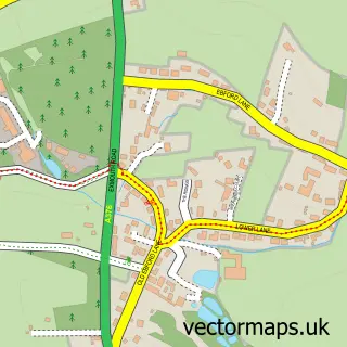
This Exmouth street map is a detailed vector street map covering a 750m x 750m area. Select a larger area to create and download your own vector street map of Exmouth.
The 750-metre map sample for Exmouth covers 239 mapped buildings and approximately 31.2 km of road detail, of which 71 named roads are named. The immediate area includes 2 schools, 1 railway station, 2 GP surgeries, with 3 within 2 miles and 22 pubs among other local services. The wider area around Exmouth features 7 tourism points of interest, 57 food and drink venues and 15 hotels. To create a larger or custom map of Exmouth, the map builder lets you define your own coverage area and download editable SVG, PDF and PNG files.
Create a larger editable map of Exmouth
Choose any area you need and generate a high-quality vector map instantly. Perfect for print, planning, design, business and personal use.

This Exmouth street map in Devon is available as downloadable SVG, PDF and PNG map files, or as a printed map for planning, business, display, education, local information and design work. You can also create a larger custom map area using the map selector.
What this Exmouth map sample shows
Exmouth lies within Exmouth Cp parish, part of Exmouth Littleham ward in the East Devon District local authority area. The postcode geography for this area includes the EX postcode area, the EX8 postcode district and the EX8 2 postcode sector. Residents fall under the Nhs Devon Integrated Care Board for NHS services.
Local features near Exmouth
Within 2 milesAmenities and services in and around Exmouth.
Administrative and postcode information for Exmouth
Exmouth lies within Exmouth Cp parish, part of Exmouth Littleham ward in the East Devon District local authority area. The postcode geography for this area includes the EX postcode area, the EX8 postcode district and the EX8 2 postcode sector. Residents fall under the Nhs Devon Integrated Care Board for NHS services.
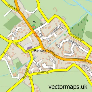
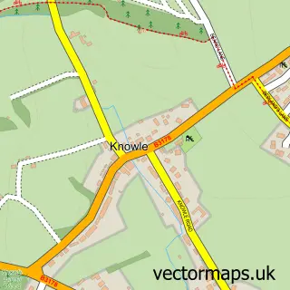
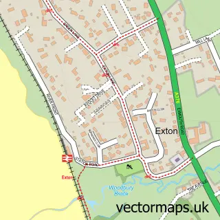
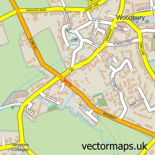
Nearby street map samples around Exmouth

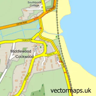
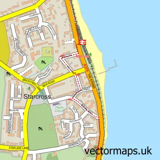
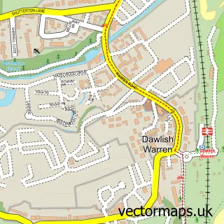
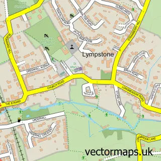
More street maps in Devon
750 metre map area coverage
Boundary, postcode and point of interest information for the 750m x 750m rectangle centred on this sample map.
Boundaries containing map centre
Constituency: Exmouth and Exeter East Co Const
County: Devon County
District: East Devon District
Icb: NHS Devon ICB
Parish: Exmouth CP
Police Force: devon and cornwall
Postcode District: EX8
Postcode Sector: EX8 1
Ward: Exmouth Town Ward
Nearby boundaries intersecting sample
Postcode Sector: EX8 2
Ward: Exmouth Littleham Ward
Postcode coverage
POI category counts
Beauty Salon: 25
Pub: 22
Restaurant: 15
Cafe: 14
Hair Salon: 14
Hotel: 14
Barber: 12
Charity Organization: 12
Automotive Repair: 11
Clothing Store: 10
Sample points of interest
- Exe Bookkeeping and Payroll Services
- Peter Eggleston Personal Trainer
- Studio Tide
- Chinese Acupuncture
- Exmouth Adult & Community Learning
- Close Up Print & Design
- Devon Signs
- Equilibrium
- Exmouth Osteopathy Clinic
- Rolle Clinic
- Exmouth Swimming Club
- Steamers Williams
Create a larger editable map of Exmouth
This sample shows only a 750 metre area. To create a larger map of Exmouth, use our map builder to choose your own coverage area, add titles and download editable SVG, PDF and PNG files.
Create a custom map of Exmouth