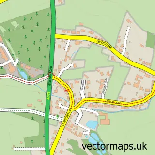
This Cockwood street map is a detailed vector street map covering a 750m x 750m area. Select a larger area to create and download your own vector street map of Cockwood.
The 750-metre map sample for Cockwood covers 139 mapped buildings and approximately 10.4 km of road detail, of which 9 named roads are named. The immediate area includes 1 school, 2 GP surgeries within 2 miles, 2 pubs and 10 MOT stations within 2 miles. The wider area around Cockwood features 2 food and drink venues and 8 campsites within 2 miles. To create a larger or custom map of Cockwood, the map builder lets you define your own coverage area and download editable SVG, PDF and PNG files.
Create a larger editable map of Cockwood
Choose any area you need and generate a high-quality vector map instantly. Perfect for print, planning, design, business and personal use.

This Cockwood street map in Devon is available as downloadable SVG, PDF and PNG map files, or as a printed map for planning, business, display, education, local information and design work. You can also create a larger custom map area using the map selector.
What this Cockwood map sample shows
Cockwood lies within Dawlish Cp parish, part of Dawlish North East ward in the Teignbridge District local authority area. Residents fall under the Nhs Devon Integrated Care Board for NHS services.
Local features near Cockwood
Within 2 milesAmenities and services in and around Cockwood.
Administrative and postcode information for Cockwood
Cockwood lies within Dawlish Cp parish, part of Dawlish North East ward in the Teignbridge District local authority area. Residents fall under the Nhs Devon Integrated Care Board for NHS services.
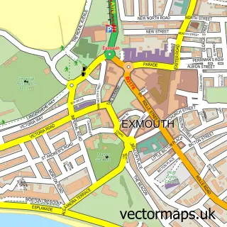
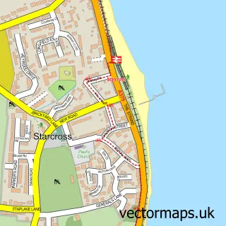
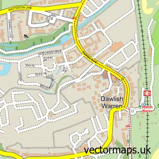
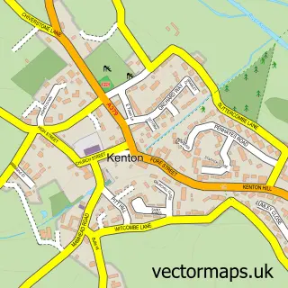
Nearby street map samples around Cockwood

More street maps in Devon
750 metre map area coverage
Boundary, postcode and point of interest information for the 750m x 750m rectangle centred on this sample map.
Boundaries containing map centre
Constituency: Newton Abbot Co Const
County: Devon County
District: Teignbridge District
Icb: NHS Devon ICB
Parish: Dawlish CP
Police Force: devon and cornwall
Postcode District: EX6
Postcode Sector: EX6 8
Ward: Dawlish North East Ward
Nearby boundaries intersecting sample
Parish: Starcross CP
Ward: Kenton & Starcross Ward
Postcode coverage
POI category counts
Pub: 2
Structure And Geography: 2
Audio Visual Equipment Store: 1
Bed And Breakfast: 1
E Cigarette Store: 1
Education: 1
Elementary School: 1
Guest House: 1
Hvac Services: 1
It Service And Computer Repair: 1
Sample points of interest
- Southwest Sound and Light
- The CROFT Guest House - Cockwood Harbour
- ICE Headshop
- Abigail Au Pairs
- Cockwood Primary School
- The Croft Guest House
- Drc Plumbing & Heating
- Enstech
- Gillian Taylor P R
- The Anchor Inn
- The Ship Inn
- Smithy Signs
Create a larger editable map of Cockwood
This sample shows only a 750 metre area. To create a larger map of Cockwood, use our map builder to choose your own coverage area, add titles and download editable SVG, PDF and PNG files.
Create a custom map of Cockwood