This Dawlish Warren street map is a detailed vector street map covering a 750m x 750m area. Select a larger area to create and download your own vector street map of Dawlish Warren.
The 750-metre map sample for Dawlish Warren covers 256 mapped buildings and approximately 14.6 km of road detail, of which 16 named roads are named. The immediate area includes 1 railway station, 1 GP surgery within 2 miles, 4 pubs and 6 MOT stations within 2 miles. The wider area around Dawlish Warren features 7 tourism points of interest, 9 food and drink venues and 2 hotels. To create a larger or custom map of Dawlish Warren, the map builder lets you define your own coverage area and download editable SVG, PDF and PNG files.
Create a larger editable map of Dawlish Warren
Choose any area you need and generate a high-quality vector map instantly. Perfect for print, planning, design, business and personal use.

This Dawlish Warren street map in Devon is available as downloadable SVG, PDF and PNG map files, or as a printed map for planning, business, display, education, local information and design work. You can also create a larger custom map area using the map selector.
What this Dawlish Warren map sample shows
Dawlish Warren lies within Dawlish Cp parish, part of Dawlish North East ward in the Teignbridge District local authority area. The postcode geography for this area includes the EX postcode area, the EX7 postcode district and the EX7 0 postcode sector. Residents fall under the Nhs Devon Integrated Care Board for NHS services.
Local features near Dawlish Warren
Within 2 milesAmenities and services in and around Dawlish Warren.
Administrative and postcode information for Dawlish Warren
Dawlish Warren lies within Dawlish Cp parish, part of Dawlish North East ward in the Teignbridge District local authority area. The postcode geography for this area includes the EX postcode area, the EX7 postcode district and the EX7 0 postcode sector. Residents fall under the Nhs Devon Integrated Care Board for NHS services.
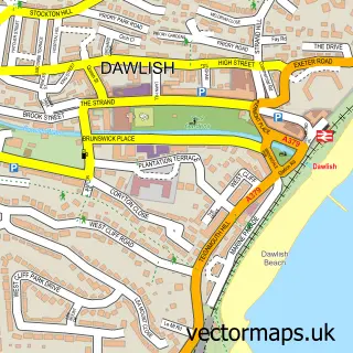
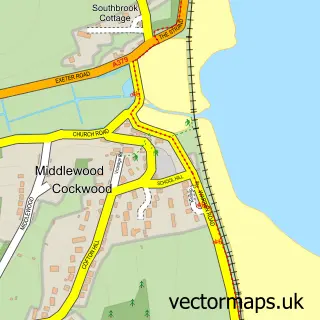
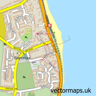
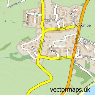
Nearby street map samples around Dawlish Warren

More street maps in Devon
750 metre map area coverage
Boundary, postcode and point of interest information for the 750m x 750m rectangle centred on this sample map.
Boundaries containing map centre
Constituency: Newton Abbot Co Const
County: Devon County
District: Teignbridge District
Icb: NHS Devon ICB
Parish: Dawlish CP
Police Force: devon and cornwall
Postcode District: EX7
Postcode Sector: EX7 0
Ward: Dawlish North East Ward
Nearby boundaries intersecting sample
No additional intersecting boundaries found.
Postcode coverage
POI category counts
Pub: 4
Cafe: 3
Campground: 3
Convenience Store: 3
Holiday Rental Home: 3
Bakery: 2
Building Supply Store: 2
Candy Store: 2
Fast Food Restaurant: 2
Fish And Chips Restaurant: 2
Sample points of interest
- Warren View
- Funder Park
- St Mary's Church Hall, Dawlish Warren
- The Paint Hub
- Oakleigh
- Oggy Oggy Pasty Co.
- The Hot Bread Shop - Ryders
- Paddy's Bar and Club
- Bailey R L Co
- Exe Trail Cycle Hire
- Ramsay Maunder Associates Ltd
- Richard Elliott
Create a larger editable map of Dawlish Warren
This sample shows only a 750 metre area. To create a larger map of Dawlish Warren, use our map builder to choose your own coverage area, add titles and download editable SVG, PDF and PNG files.
Create a custom map of Dawlish Warren