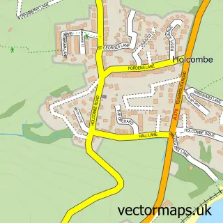
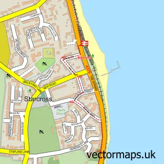
This Dawlish street map is a detailed vector street map covering a 750m x 750m area. Select a larger area to create and download your own vector street map of Dawlish.
The 750-metre map sample for Dawlish covers 417 mapped buildings and approximately 22.1 km of road detail, of which 55 named roads are named. The immediate area includes 1 railway station, 1 GP surgery, 12 pubs and 2 MOT stations, with 4 within 2 miles. The wider area around Dawlish features 10 tourism points of interest, 27 food and drink venues and 5 hotels. To create a larger or custom map of Dawlish, the map builder lets you define your own coverage area and download editable SVG, PDF and PNG files.
Create a larger editable map of Dawlish
Choose any area you need and generate a high-quality vector map instantly. Perfect for print, planning, design, business and personal use.

This Dawlish street map in Devon is available as downloadable SVG, PDF and PNG map files, or as a printed map for planning, business, display, education, local information and design work. You can also create a larger custom map area using the map selector.
What this Dawlish map sample shows
Dawlish is a town in Devon, recorded in the UK street map gallery with associated local administrative and mapping data.
Local features near Dawlish
Within 2 milesAmenities and services in and around Dawlish.
Administrative and postcode information for Dawlish
Dawlish is a town in Devon, recorded in the UK street map gallery with associated local administrative and mapping data.
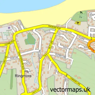
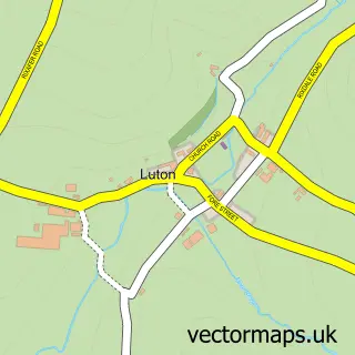
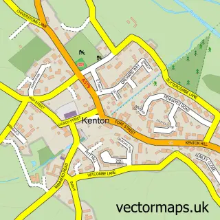
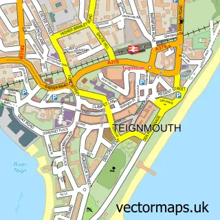
Nearby street map samples around Dawlish

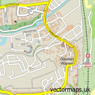
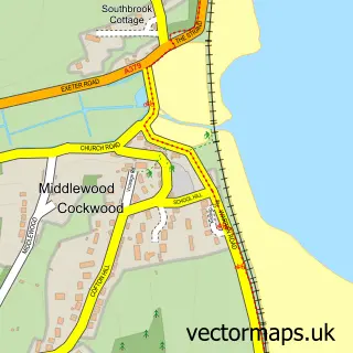
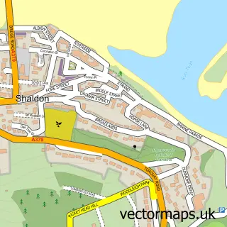
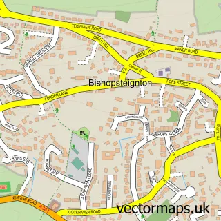
More street maps in Devon
750 metre map area coverage
Boundary, postcode and point of interest information for the 750m x 750m rectangle centred on this sample map.
Boundaries containing map centre
Constituency: Newton Abbot Co Const
County: Devon County
District: Teignbridge District
Icb: NHS Devon ICB
Parish: Dawlish CP
Police Force: devon and cornwall
Postcode District: EX7
Postcode Sector: EX7 9
Ward: Dawlish South West Ward
Nearby boundaries intersecting sample
Postcode Sector: EX7 0
Ward: Dawlish North East Ward
Postcode coverage
POI category counts
Pub: 12
Real Estate Agent: 10
Beauty Salon: 8
Cafe: 8
Flowers And Gifts Shop: 8
Convenience Store: 6
Hair Salon: 5
Hotel: 5
Attractions And Activities: 4
Banks: 4
Sample points of interest
- Children's Society Shop
- General antiques
- The Bloody Chic of It
- Conway Business Systems
- Jack Reed Clocks
- Dawlish Arcade
- Harrisons Amusements
- Crafters Craft Shop
- West Cliff House
- Central Convenience - Queen Street
- The Cooperative Food (BF) Dawlish
- Dawlish Manor Park
Create a larger editable map of Dawlish
This sample shows only a 750 metre area. To create a larger map of Dawlish, use our map builder to choose your own coverage area, add titles and download editable SVG, PDF and PNG files.
Create a custom map of Dawlish