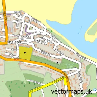
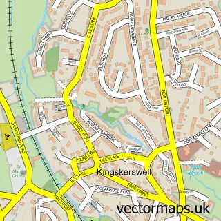
This Ringmore street map is a detailed vector street map covering a 750m x 750m area. Select a larger area to create and download your own vector street map of Ringmore.
The 750-metre map sample for Ringmore covers 340 mapped buildings and approximately 14.6 km of road detail, of which 28 named roads are named. The immediate area includes 1 GP surgery within 2 miles, 1 pub and 6 MOT stations within 2 miles. The wider area around Ringmore features 1 tourism point of interest, 1 food and drink venue and 4 hotels. To create a larger or custom map of Ringmore, the map builder lets you define your own coverage area and download editable SVG, PDF and PNG files.
Create a larger editable map of Ringmore
Choose any area you need and generate a high-quality vector map instantly. Perfect for print, planning, design, business and personal use.

This Ringmore street map in Devon is available as downloadable SVG, PDF and PNG map files, or as a printed map for planning, business, display, education, local information and design work. You can also create a larger custom map area using the map selector.
What this Ringmore map sample shows
Ringmore lies within Shaldon Cp parish, part of Shaldon & Stokeinteignhead ward in the Teignbridge District local authority area. The postcode geography for this area includes the TQ postcode area, the TQ14 postcode district and the TQ14 0 postcode sector. Residents fall under the Nhs Devon Integrated Care Board for NHS services.
Local features near Ringmore
Within 2 milesAmenities and services in and around Ringmore.
Administrative and postcode information for Ringmore
Ringmore lies within Shaldon Cp parish, part of Shaldon & Stokeinteignhead ward in the Teignbridge District local authority area. The postcode geography for this area includes the TQ postcode area, the TQ14 postcode district and the TQ14 0 postcode sector. Residents fall under the Nhs Devon Integrated Care Board for NHS services.
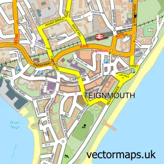
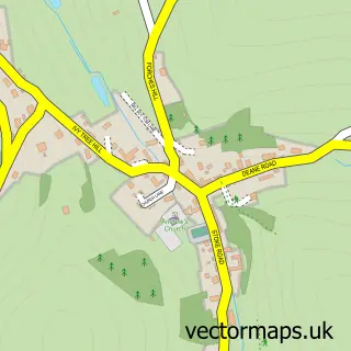
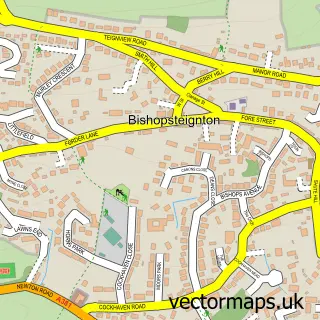
Nearby street map samples around Ringmore

More street maps in Devon
750 metre map area coverage
Boundary, postcode and point of interest information for the 750m x 750m rectangle centred on this sample map.
Boundaries containing map centre
Constituency: Newton Abbot Co Const
County: Devon County
District: Teignbridge District
Icb: NHS Devon ICB
Parish: Shaldon CP
Police Force: devon and cornwall
Postcode District: TQ14
Postcode Sector: TQ14 0
Ward: Shaldon & Stokeinteignhead Ward
Nearby boundaries intersecting sample
No additional intersecting boundaries found.
Postcode coverage
POI category counts
Hotel: 4
Advertising Agency: 1
Anglican Church: 1
Building Supply Store: 1
Caterer: 1
Church Cathedral: 1
Cottage: 1
Flowers And Gifts Shop: 1
Holiday Rental Home: 1
Marketing Consultant: 1
Sample points of interest
- Brazier & Co
- St Nicholas, Ringmore
- Liz Nathan Design
- Rockpool Catering Services
- Saint Nicholas Church
- Topcliff Cottage
- Alison Miles Pottery
- Shaldon Holiday Cottage - Devon.
- Farthings B & B
- Glenside House
- Seascape Cottage
- Shaldon Bed & Breakfast -Ringmore Garden House
Create a larger editable map of Ringmore
This sample shows only a 750 metre area. To create a larger map of Ringmore, use our map builder to choose your own coverage area, add titles and download editable SVG, PDF and PNG files.
Create a custom map of Ringmore