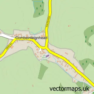
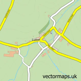
This Stokeinteignhead street map is a detailed vector street map covering a 750m x 750m area. Select a larger area to create and download your own vector street map of Stokeinteignhead.
The 750-metre map sample for Stokeinteignhead covers 98 mapped buildings and approximately 13.8 km of road detail, of which 9 named roads are named. The immediate area includes 1 school, 2 pubs and 4 MOT stations within 2 miles. The wider area around Stokeinteignhead features 2 food and drink venues and 1 campsite within 2 miles. To create a larger or custom map of Stokeinteignhead, the map builder lets you define your own coverage area and download editable SVG, PDF and PNG files.
Create a larger editable map of Stokeinteignhead
Choose any area you need and generate a high-quality vector map instantly. Perfect for print, planning, design, business and personal use.

This Stokeinteignhead street map in Devon is available as downloadable SVG, PDF and PNG map files, or as a printed map for planning, business, display, education, local information and design work. You can also create a larger custom map area using the map selector.
What this Stokeinteignhead map sample shows
Stokeinteignhead lies within Stokeinteignhead Cp parish, part of Shaldon & Stokeinteignhead ward in the Teignbridge District local authority area. The postcode geography for this area includes the TQ postcode area, the TQ12 postcode district and the TQ12 4 postcode sector. Residents fall under the Nhs Devon Integrated Care Board for NHS services.
Local features near Stokeinteignhead
Within 2 milesAmenities and services in and around Stokeinteignhead.
Administrative and postcode information for Stokeinteignhead
The local authority covering Stokeinteignhead is Teignbridge District, within the county of Devon. The settlement lies within Shaldon & Stokeinteignhead ward and Stokeinteignhead Cp civil parish. The TQ12 postcode district and TQ12 4 postcode sector serve the immediate area. NHS provision in the area is delivered through Torbay And South Devon Nhs Foundation Trust.
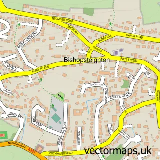
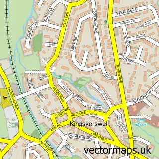
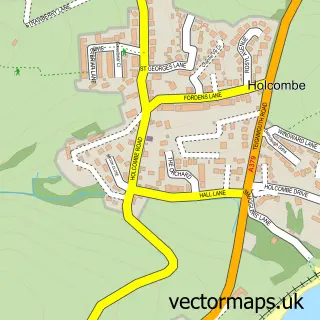
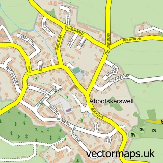
Nearby street map samples around Stokeinteignhead

More street maps in Devon
750 metre map area coverage
Boundary, postcode and point of interest information for the 750m x 750m rectangle centred on this sample map.
Boundaries containing map centre
Constituency: Newton Abbot Co Const
County: Devon County
District: Teignbridge District
Icb: NHS Devon ICB
Parish: Stokeinteignhead CP
Police Force: devon and cornwall
Postcode District: TQ12
Postcode Sector: TQ12 4
Ward: Shaldon & Stokeinteignhead Ward
Nearby boundaries intersecting sample
No additional intersecting boundaries found.
Postcode coverage
POI category counts
Pub: 2
Anglican Church: 1
Building Supply Store: 1
Community Center: 1
Community Services Non Profits: 1
Elementary School: 1
Gardener: 1
Gift Shop: 1
Naturopathic Holistic: 1
Topic Publisher: 1
Sample points of interest
- St Andrew, Stokeinteignhead
- Orestone Services
- Stokeinteignhead Village Hall
- Stokeinteignhead Community Shop
- Stokeinteignhead Primary School
- Newleaf Landscapes
- Spindle & Berry
- Back in Balance Bodywork and Aromatherapy
- Church House Inn
- The Church House Inn
- Dream Weddings Magazine
- Orchard Highview
Create a larger editable map of Stokeinteignhead
This sample shows only a 750 metre area. To create a larger map of Stokeinteignhead, use our map builder to choose your own coverage area, add titles and download editable SVG, PDF and PNG files.
Create a custom map of Stokeinteignhead