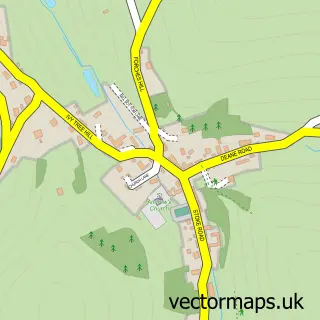
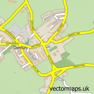
This Kingskerswell street map is a detailed vector street map covering a 750m x 750m area. Select a larger area to create and download your own vector street map of Kingskerswell.
The 750-metre map sample for Kingskerswell covers 554 mapped buildings and approximately 18.6 km of road detail, of which 46 named roads are named. The immediate area includes 1 GP surgery, 4 pubs and 14 MOT stations within 2 miles. The wider area around Kingskerswell features 4 food and drink venues and 2 campsites within 2 miles. To create a larger or custom map of Kingskerswell, the map builder lets you define your own coverage area and download editable SVG, PDF and PNG files.
Create a larger editable map of Kingskerswell
Choose any area you need and generate a high-quality vector map instantly. Perfect for print, planning, design, business and personal use.

This Kingskerswell street map in Devon is available as downloadable SVG, PDF and PNG map files, or as a printed map for planning, business, display, education, local information and design work. You can also create a larger custom map area using the map selector.
What this Kingskerswell map sample shows
Kingskerswell lies within Kingskerswell Cp parish, part of Kerswell-With-Combe ward in the Teignbridge District local authority area. The postcode geography for this area includes the TQ postcode area, the TQ12 postcode district and the TQ12 5 postcode sector. Residents fall under the Nhs Devon Integrated Care Board for NHS services.
Local features near Kingskerswell
Within 2 milesAmenities and services in and around Kingskerswell.
Administrative and postcode information for Kingskerswell
Kingskerswell lies within Kingskerswell Cp parish, part of Kerswell-With-Combe ward in the Teignbridge District local authority area. The postcode geography for this area includes the TQ postcode area, the TQ12 postcode district and the TQ12 5 postcode sector. Residents fall under the Nhs Devon Integrated Care Board for NHS services.
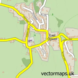
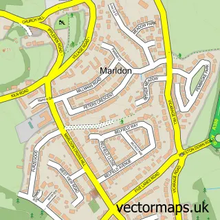
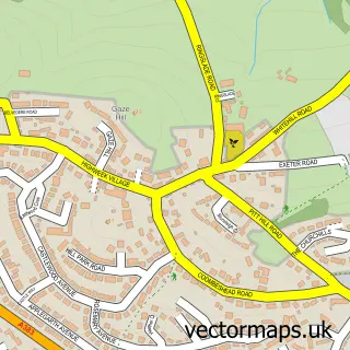
Nearby street map samples around Kingskerswell
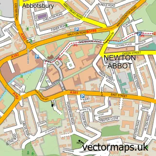

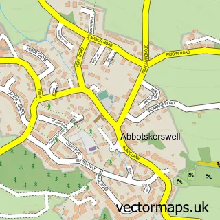
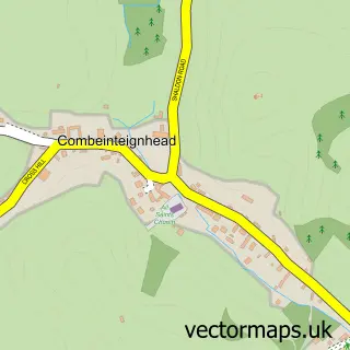
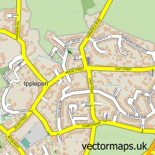
More street maps in Devon
750 metre map area coverage
Boundary, postcode and point of interest information for the 750m x 750m rectangle centred on this sample map.
Boundaries containing map centre
Constituency: Newton Abbot Co Const
County: Devon County
District: Teignbridge District
Icb: NHS Devon ICB
Parish: Kingskerswell CP
Police Force: devon and cornwall
Postcode District: TQ12
Postcode Sector: TQ12 5
Ward: Kerswell-with-Combe Ward
Nearby boundaries intersecting sample
No additional intersecting boundaries found.
Postcode coverage
POI category counts
Convenience Store: 6
Beauty Salon: 4
Building Supply Store: 4
Hair Salon: 4
Pub: 4
Contractor: 3
Accountant: 2
Assisted Living Facility: 2
Auto Electrical Repair: 2
Church Cathedral: 2
Sample points of interest
- Marsland Nash Associates Ltd.
- Priory Accountants
- St Mary's Kingskerswell
- Westwood Meters and Timers
- Anchor - Brookhaven Close
- Anchor Hanover - Brookhaven Close
- Jays Autobodies Ltd
- Datel Electrical Ltd.
- R.H.S Electrical Services
- St. Marys Garage
- St Marys Garage
- Hungry Horse
Create a larger editable map of Kingskerswell
This sample shows only a 750 metre area. To create a larger map of Kingskerswell, use our map builder to choose your own coverage area, add titles and download editable SVG, PDF and PNG files.
Create a custom map of Kingskerswell