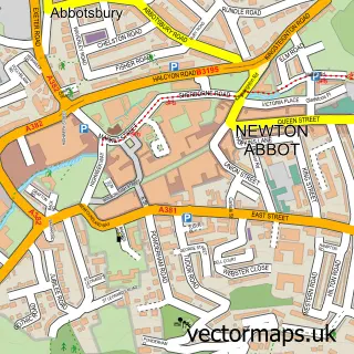
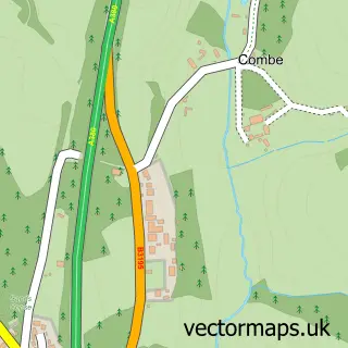
This Highweek street map is a detailed vector street map covering a 750m x 750m area. Select a larger area to create and download your own vector street map of Highweek.
The 750-metre map sample for Highweek covers 415 mapped buildings and approximately 16.5 km of road detail, of which 31 named roads are named. The immediate area includes 5 GP surgeries within 2 miles, 1 pub and 1 MOT station, with 24 within 2 miles. The wider area around Highweek features 1 food and drink venue and 2 campsites within 2 miles. To create a larger or custom map of Highweek, the map builder lets you define your own coverage area and download editable SVG, PDF and PNG files.
Create a larger editable map of Highweek
Choose any area you need and generate a high-quality vector map instantly. Perfect for print, planning, design, business and personal use.

This Highweek street map in Devon is available as downloadable SVG, PDF and PNG map files, or as a printed map for planning, business, display, education, local information and design work. You can also create a larger custom map area using the map selector.
What this Highweek map sample shows
Highweek lies within Newton Abbot Cp parish, part of College ward in the Teignbridge District local authority area. The postcode geography for this area includes the TQ postcode area, the TQ12 postcode district and the TQ12 1 postcode sector. Residents fall under the Nhs Devon Integrated Care Board for NHS services.
Local features near Highweek
Within 2 milesAmenities and services in and around Highweek.
Administrative and postcode information for Highweek
The local authority covering Highweek is Teignbridge District, within the county of Devon. The settlement lies within College ward and Newton Abbot Cp civil parish. The TQ12 postcode district and TQ12 1 postcode sector serve the immediate area. NHS provision in the area is delivered through Torbay And South Devon Nhs Foundation Trust.
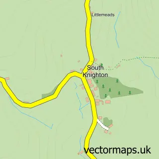
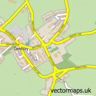
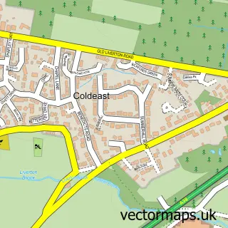
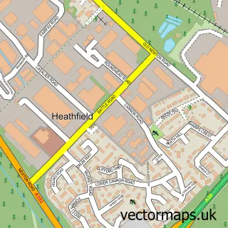
Nearby street map samples around Highweek

More street maps in Devon
750 metre map area coverage
Boundary, postcode and point of interest information for the 750m x 750m rectangle centred on this sample map.
Boundaries containing map centre
Constituency: Newton Abbot Co Const
County: Devon County
District: Teignbridge District
Icb: NHS Devon ICB
Parish: Newton Abbot CP
Police Force: devon and cornwall
Postcode District: TQ12
Postcode Sector: TQ12 1
Ward: Bradley Ward
Nearby boundaries intersecting sample
Postcode Sector: TQ12 6
Postcode coverage
POI category counts
Building Supply Store: 2
Scout Hall: 2
Bakery: 1
Beauty Salon: 1
Business Management Services: 1
Carpenter: 1
Community Services Non Profits: 1
Furniture Store: 1
Handyman: 1
Home Security: 1
Sample points of interest
- Simply cakes and gifts
- Studio 8 Nails and Beauty
- Complete Builders Merchants
- Western Lightning
- Countrywide Hotels
- Newcombe Gareth
- Highweek Village Hall
- Rapphona
- The Handyman cane
- T and E Fire and Security Ltd
- SEO+
- Daracombe Dog Liquor
Create a larger editable map of Highweek
This sample shows only a 750 metre area. To create a larger map of Highweek, use our map builder to choose your own coverage area, add titles and download editable SVG, PDF and PNG files.
Create a custom map of Highweek