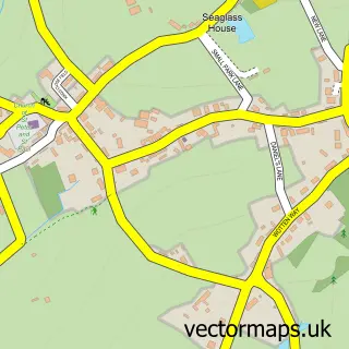
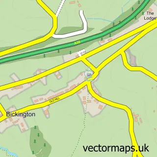
This Denbury street map is a detailed vector street map covering a 750m x 750m area. Select a larger area to create and download your own vector street map of Denbury.
The 750-metre map sample for Denbury covers 199 mapped buildings and approximately 14.3 km of road detail, of which 16 named roads are named. The immediate area includes 1 school, 1 pub and 3 MOT stations within 2 miles. The wider area around Denbury features 1 tourism point of interest, 1 food and drink venue and 3 campsites within 2 miles. To create a larger or custom map of Denbury, the map builder lets you define your own coverage area and download editable SVG, PDF and PNG files.
Create a larger editable map of Denbury
Choose any area you need and generate a high-quality vector map instantly. Perfect for print, planning, design, business and personal use.

This Denbury street map in Devon is available as downloadable SVG, PDF and PNG map files, or as a printed map for planning, business, display, education, local information and design work. You can also create a larger custom map area using the map selector.
What this Denbury map sample shows
Denbury lies within Denbury And Torbryan Cp parish, part of Ambrook ward in the Teignbridge District local authority area. The postcode geography for this area includes the TQ postcode area, the TQ12 postcode district and the TQ12 6 postcode sector. Residents fall under the Nhs Devon Integrated Care Board for NHS services.
Local features near Denbury
Within 2 milesAmenities and services in and around Denbury.
Administrative and postcode information for Denbury
The local authority covering Denbury is Teignbridge District, within the county of Devon. The settlement lies within Ambrook ward and Denbury And Torbryan Cp civil parish. The TQ12 postcode district and TQ12 6 postcode sector serve the immediate area. NHS provision in the area is delivered through Torbay And South Devon Nhs Foundation Trust.
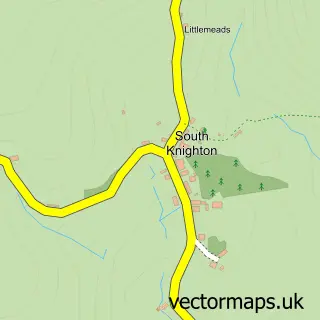
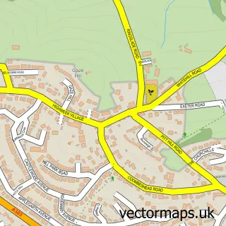
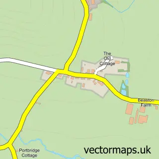
Nearby street map samples around Denbury

More street maps in Devon
750 metre map area coverage
Boundary, postcode and point of interest information for the 750m x 750m rectangle centred on this sample map.
Boundaries containing map centre
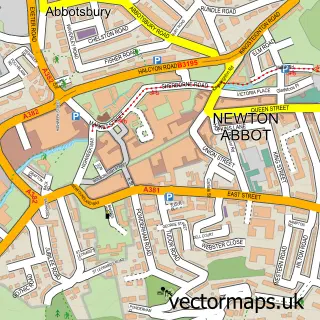
Constituency: Newton Abbot Co Const
County: Devon County
District: Teignbridge District
Icb: NHS Devon ICB
Parish: Denbury and Torbryan CP
Police Force: devon and cornwall
Postcode District: TQ12
Postcode Sector: TQ12 6
Ward: Ambrook Ward
Nearby boundaries intersecting sample
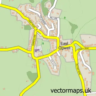
Parish: Ogwell CP
Postcode coverage
POI category counts
Building Supply Store: 2
Post Office: 2
Anglican Church: 1
Chimney Sweep: 1
Church Cathedral: 1
Contractor: 1
Elementary School: 1
Fence And Gate Sales Service: 1
Financial Service: 1
Food Beverage Service Distribution: 1
Sample points of interest
- St Mary the Virgin, DENBURY, Devon
- Pc Landscapes
- Volcanic Boon
- AB Chimney Services
- The Church of St Mary's, Denbury
- Shift Away Waste
- Denbury Primary School
- AB Fencing & Landscaping
- South Devon Accounting
- Catering with Flair
- Orchard Upholstery
- CP Geo-Services
Create a larger editable map of Denbury
This sample shows only a 750 metre area. To create a larger map of Denbury, use our map builder to choose your own coverage area, add titles and download editable SVG, PDF and PNG files.
Create a custom map of Denbury