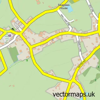
This Ipplepen street map is a detailed vector street map covering a 750m x 750m area. Select a larger area to create and download your own vector street map of Ipplepen.
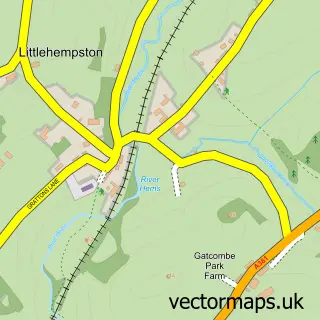
The 750-metre map sample for Ipplepen covers 467 mapped buildings and approximately 19.0 km of road detail, of which 43 named roads are named. The immediate area includes 1 school, 2 pubs and 4 MOT stations within 2 miles. The wider area around Ipplepen features 2 tourism points of interest, 3 food and drink venues and 3 campsites within 2 miles. To create a larger or custom map of Ipplepen, the map builder lets you define your own coverage area and download editable SVG, PDF and PNG files.
Create a larger editable map of Ipplepen
Choose any area you need and generate a high-quality vector map instantly. Perfect for print, planning, design, business and personal use.

This Ipplepen street map in Devon is available as downloadable SVG, PDF and PNG map files, or as a printed map for planning, business, display, education, local information and design work. You can also create a larger custom map area using the map selector.
What this Ipplepen map sample shows
Ipplepen lies within Ipplepen Cp parish, part of Ipplepen ward in the Teignbridge District local authority area. The postcode geography for this area includes the TQ postcode area, the TQ12 postcode district and the TQ12 5 postcode sector. Residents fall under the Nhs Devon Integrated Care Board for NHS services.
Local features near Ipplepen
Within 2 milesAmenities and services in and around Ipplepen.
Administrative and postcode information for Ipplepen
Ipplepen lies within Ipplepen Cp parish, part of Ipplepen ward in the Teignbridge District local authority area. The postcode geography for this area includes the TQ postcode area, the TQ12 postcode district and the TQ12 5 postcode sector. Residents fall under the Nhs Devon Integrated Care Board for NHS services.
Nearby street map samples around Ipplepen

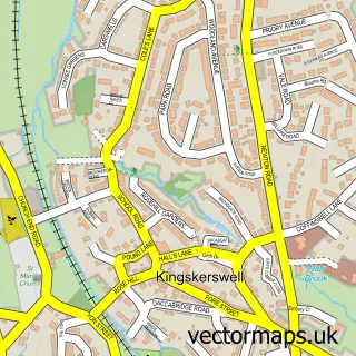
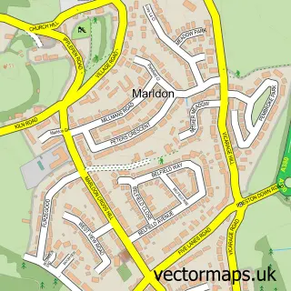
More street maps in Devon
750 metre map area coverage
Boundary, postcode and point of interest information for the 750m x 750m rectangle centred on this sample map.
Boundaries containing map centre
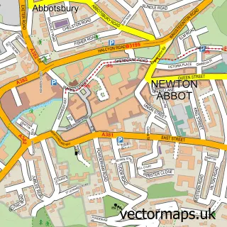
Constituency: Newton Abbot Co Const
County: Devon County
District: Teignbridge District
Icb: NHS Devon ICB
Parish: Ipplepen CP
Police Force: devon and cornwall
Postcode District: TQ12
Postcode Sector: TQ12 5
Ward: Ipplepen Ward
Nearby boundaries intersecting sample
No additional intersecting boundaries found.
Postcode coverage
POI category counts
Beauty And Spa: 2
Business Management Services: 2
Community Center: 2
Convenience Store: 2
Driving School: 2
Plumbing: 2
Professional Services: 2
Pub: 2
Retail: 2
Advertising Agency: 1
Sample points of interest
- Brand Champions
- St Andrew's, IPPLEPEN, Devon
- C R Wood
- Hillwise
- Luna Piercing - Newton Abbot
- Serene Skin Solutions
- Amazing Carpet Cleaning
- Helen Roberts Virtual Assistant
- Jethro Marles
- The Caravan Club
- The Chimney Co
- St Andrews Church, Ipplepen
Create a larger editable map of Ipplepen
This sample shows only a 750 metre area. To create a larger map of Ipplepen, use our map builder to choose your own coverage area, add titles and download editable SVG, PDF and PNG files.
Create a custom map of Ipplepen