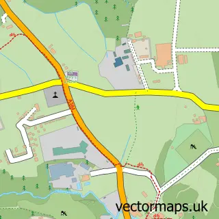
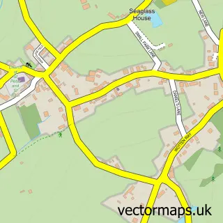
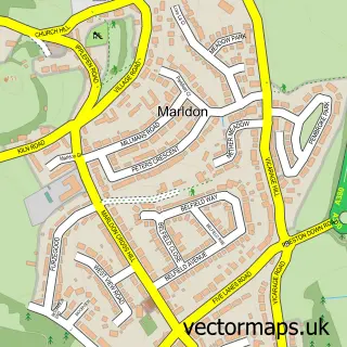
This Littlehempston street map is a detailed vector street map covering a 750m x 750m area. Select a larger area to create and download your own vector street map of Littlehempston.
The 750-metre map sample for Littlehempston covers 60 mapped buildings and approximately 12.8 km of road detail, of which 1 named road are named. The immediate area includes 2 GP surgeries within 2 miles, 1 pub and 7 MOT stations within 2 miles. The wider area around Littlehempston features 2 tourism points of interest, 1 food and drink venue and 1 campsite within 2 miles. To create a larger or custom map of Littlehempston, the map builder lets you define your own coverage area and download editable SVG, PDF and PNG files.
Create a larger editable map of Littlehempston
Choose any area you need and generate a high-quality vector map instantly. Perfect for print, planning, design, business and personal use.

This Littlehempston street map in Devon is available as downloadable SVG, PDF and PNG map files, or as a printed map for planning, business, display, education, local information and design work. You can also create a larger custom map area using the map selector.
What this Littlehempston map sample shows
Littlehempston lies within Littlehempston Cp parish, part of Marldon & Littlehempston ward in the South Hams District local authority area. The postcode geography for this area includes the TQ postcode area, the TQ9 postcode district and the TQ9 6 postcode sector. Residents fall under the Nhs Devon Integrated Care Board for NHS services.
Local features near Littlehempston
Within 2 milesAmenities and services in and around Littlehempston.
Administrative and postcode information for Littlehempston
The local authority covering Littlehempston is South Hams District, within the county of Devon. The settlement lies within Marldon & Littlehempston ward and Littlehempston Cp civil parish. The TQ9 postcode district and TQ9 6 postcode sector serve the immediate area. NHS provision in the area is delivered through Torbay And South Devon Nhs Foundation Trust.
Nearby street map samples around Littlehempston
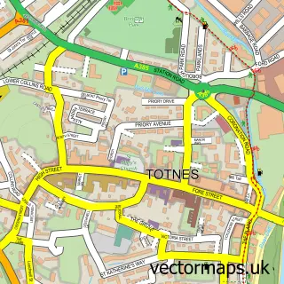

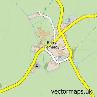
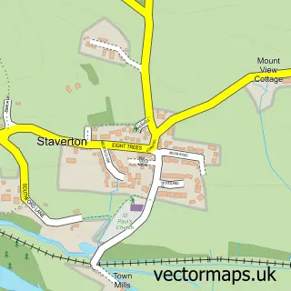
More street maps in Devon
750 metre map area coverage
Boundary, postcode and point of interest information for the 750m x 750m rectangle centred on this sample map.
Boundaries containing map centre
Constituency: South Devon Co Const
County: Devon County
District: South Hams District
Icb: NHS Devon ICB
Parish: Littlehempston CP
Police Force: devon and cornwall
Postcode District: TQ9
Postcode Sector: TQ9 6
Ward: Marldon & Littlehempston Ward
Nearby boundaries intersecting sample
No additional intersecting boundaries found.
Postcode coverage
POI category counts
Anglican Church: 1
Automotive Repair: 1
Bar: 1
Building Contractor: 1
Campground: 1
Farm: 1
Hair Salon: 1
Music And Dvd Store: 1
Park: 1
Pet Services: 1
Sample points of interest
- St John the Baptist, Littlehempston
- ClutchMaster Automaster
- The Pig & Whistle
- Pavillion Construction Ltd.
- Gatcombe Park Farm Glamping
- PowWow Alpacas
- The Garden Room
- IAmTheHow
- Coombe Park Equestrian Centre
- Mare and Foal Sanctuary Visitor Centre and Events
- Pineridge Woodland Farm
- Tally Ho
Create a larger editable map of Littlehempston
This sample shows only a 750 metre area. To create a larger map of Littlehempston, use our map builder to choose your own coverage area, add titles and download editable SVG, PDF and PNG files.
Create a custom map of Littlehempston